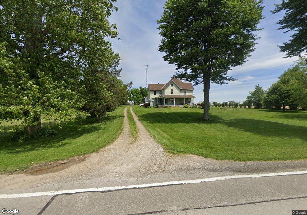
1028 State Route 103 Sycamore, OH 44882
Estimated Value: $164,000 - $274,000
4
Beds
2
Baths
1,043
Sq Ft
$217/Sq Ft
Est. Value
About This Home
This home is located at 1028 State Route 103, Sycamore, OH 44882 and is currently estimated at $226,641, approximately $217 per square foot. 1028 State Route 103 is a home located in Crawford County with nearby schools including Wynford Elementary School and Wynford High School.
Ownership History
Date
Name
Owned For
Owner Type
Purchase Details
Closed on
Oct 10, 2006
Sold by
Larsen Bradley M and Larsen Anita S
Bought by
Westrick Shawn J and Westrick Monica A
Current Estimated Value
Home Financials for this Owner
Home Financials are based on the most recent Mortgage that was taken out on this home.
Original Mortgage
$114,200
Interest Rate
6.49%
Create a Home Valuation Report for This Property
The Home Valuation Report is an in-depth analysis detailing your home's value as well as a comparison with similar homes in the area
Home Values in the Area
Average Home Value in this Area
Purchase History
| Date | Buyer | Sale Price | Title Company |
|---|---|---|---|
| Westrick Shawn J | -- | -- |
Source: Public Records
Mortgage History
| Date | Status | Borrower | Loan Amount |
|---|---|---|---|
| Closed | Westrick Shawn J | $114,200 |
Source: Public Records
Tax History Compared to Growth
Tax History
| Year | Tax Paid | Tax Assessment Tax Assessment Total Assessment is a certain percentage of the fair market value that is determined by local assessors to be the total taxable value of land and additions on the property. | Land | Improvement |
|---|---|---|---|---|
| 2024 | $2,185 | $57,090 | $7,050 | $50,040 |
| 2023 | $2,185 | $42,690 | $5,500 | $37,190 |
| 2022 | $1,961 | $42,690 | $5,500 | $37,190 |
| 2021 | $2,033 | $42,690 | $5,500 | $37,190 |
| 2020 | $1,501 | $34,110 | $5,500 | $28,610 |
| 2019 | $1,546 | $34,110 | $5,500 | $28,610 |
| 2018 | $1,581 | $34,110 | $5,500 | $28,610 |
| 2017 | $1,461 | $32,450 | $5,500 | $26,950 |
| 2016 | $1,212 | $32,450 | $5,500 | $26,950 |
| 2015 | $1,230 | $32,450 | $5,500 | $26,950 |
| 2014 | $1,220 | $29,780 | $5,500 | $24,280 |
| 2013 | $1,220 | $29,780 | $5,500 | $24,280 |
Source: Public Records
Map
Nearby Homes
- 7387 Crawford Wyandot County Line Rd
- 1607 County Highway 30
- 2776 State Route 103
- 8140 S State Route 19
- 7335 S Township Road 159
- 204 E 7th St
- 404 S Sycamore Ave
- 106 N Sycamore Ave
- 305 W 10th St
- 0 Benton St
- 4432 Marion Melmore Rd
- 6850 Sandusky Ave
- 2444 Spore Brandywine Rd
- 0 S Marion St
- 4873 County Highway 35
- 308 Lincoln Hwy
- 0 S Tr 173 Unit 20252747
- 4847 S County Road 49
- 255 W County Road 6
- 1665 Lincoln Hwy
- 1028 Ohio 103
- 1020 State Route 103
- 6756 State Route 100
- 6714 State Route 100
- 6949 State Route 100
- 6714 Miller Rd
- 1241 State Route 103
- 6594 State Route 100
- 6662 Miller Rd
- 0 Knauss Rd Unit H129475
- 0 Knauss Rd
- 6750 Knauss Rd
- 775 State Route 103
- 6754 Knauss Rd
- 7030 Miller Rd
- 1303 State Route 103
- 7012 State Route 100
- 6640 Knauss Rd
- 6586 Knauss Rd
- 6580 Knauss Rd