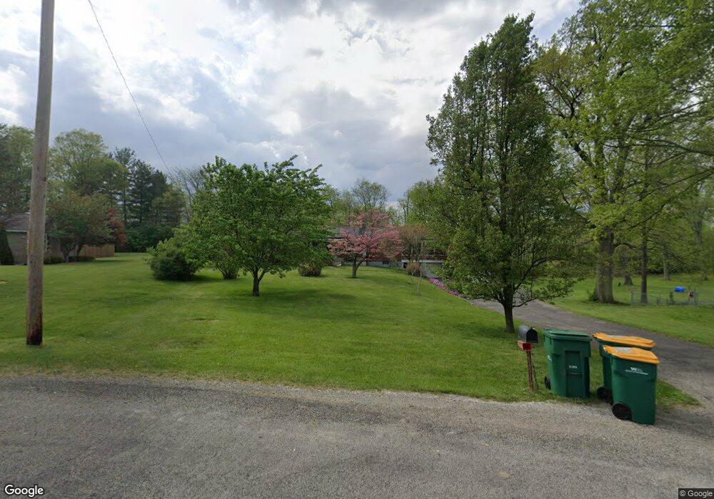
1028 Steven Circle Dr New Carlisle, OH 45344
Estimated Value: $239,000 - $315,000
2
Beds
2
Baths
1,713
Sq Ft
$161/Sq Ft
Est. Value
About This Home
This home is located at 1028 Steven Circle Dr, New Carlisle, OH 45344 and is currently estimated at $274,985, approximately $160 per square foot. 1028 Steven Circle Dr is a home located in Clark County with nearby schools including New Carlisle Elementary School, Park Layne Elementary School, and Donnelsville Elementary School.
Ownership History
Date
Name
Owned For
Owner Type
Purchase Details
Closed on
Jun 14, 2004
Sold by
Isenbarger Marcella A
Bought by
Scholz Robert G and Scholz Jill S
Current Estimated Value
Purchase Details
Closed on
Nov 18, 2002
Sold by
Slanker Robert L & Marjorie C Trustees
Bought by
Isenbarger Marcella A
Purchase Details
Closed on
Apr 26, 2000
Sold by
Slanker Robert L and Slanker Marjorie C
Bought by
Slanker Robert L and Slanker Marjorie C
Create a Home Valuation Report for This Property
The Home Valuation Report is an in-depth analysis detailing your home's value as well as a comparison with similar homes in the area
Home Values in the Area
Average Home Value in this Area
Purchase History
| Date | Buyer | Sale Price | Title Company |
|---|---|---|---|
| Scholz Robert G | $165,000 | -- | |
| Isenbarger Marcella A | $140,000 | -- | |
| Slanker Robert L | -- | -- |
Source: Public Records
Tax History Compared to Growth
Tax History
| Year | Tax Paid | Tax Assessment Tax Assessment Total Assessment is a certain percentage of the fair market value that is determined by local assessors to be the total taxable value of land and additions on the property. | Land | Improvement |
|---|---|---|---|---|
| 2024 | $2,495 | $61,040 | $14,770 | $46,270 |
| 2023 | $2,495 | $61,040 | $14,770 | $46,270 |
| 2022 | $2,327 | $61,040 | $14,770 | $46,270 |
| 2021 | $2,327 | $52,210 | $12,010 | $40,200 |
| 2020 | $2,333 | $52,210 | $12,010 | $40,200 |
| 2019 | $2,299 | $52,210 | $12,010 | $40,200 |
| 2018 | $1,977 | $42,990 | $12,010 | $30,980 |
| 2017 | $1,934 | $49,931 | $12,012 | $37,919 |
| 2016 | $1,854 | $49,931 | $12,012 | $37,919 |
| 2015 | $1,945 | $48,129 | $12,012 | $36,117 |
| 2014 | $1,934 | $48,129 | $12,012 | $36,117 |
| 2013 | $2,408 | $48,129 | $12,012 | $36,117 |
Source: Public Records
Map
Nearby Homes
- 210 Zimmerman St
- 211 N Clay St
- 805 Brookfield Dr
- 315 Fenwick Dr
- 315 N Main St
- 907 White Pine St
- 1234 Wind Rock Dr
- 202 Fenwick Dr
- 906 N Scott St
- 6764 Bethelville Dr
- 1204 N Scott St
- 5344 S Dayton Brandt Rd
- 203 Monroe Way
- 7715 E New Carlisle Rd
- 11501 Zeller Dr
- 1212 N Scott St
- 1206 N Scott St
- 1205 N Scott St
- 1209 N Scott St
- 1210 N Scott St
- 1020 Steven Circle Dr
- 1031 Steven Circle Dr
- 1015 Steven Circle Dr
- 1039 Steven Circle Dr
- 1042 Steven Circle Dr
- 1008 Steven Circle Dr
- 1005 Steven Circle Dr
- 1061 Steven Circle Dr
- 1131 Steven Circle Dr
- 1119 Steven Circle Dr
- 6425 Scarff Rd
- 6425 Scarff Rd
- 1107 Steven Circle Dr
- 1143 Steven Circle Dr
- 1053 Steven Circle Dr
- 8860 E State Route 571
- 1155 Steven Circle Dr
- 1074 Steven Circle Dr
- 1068 Steven Circle Dr
- 1059 Steven Circle Dr