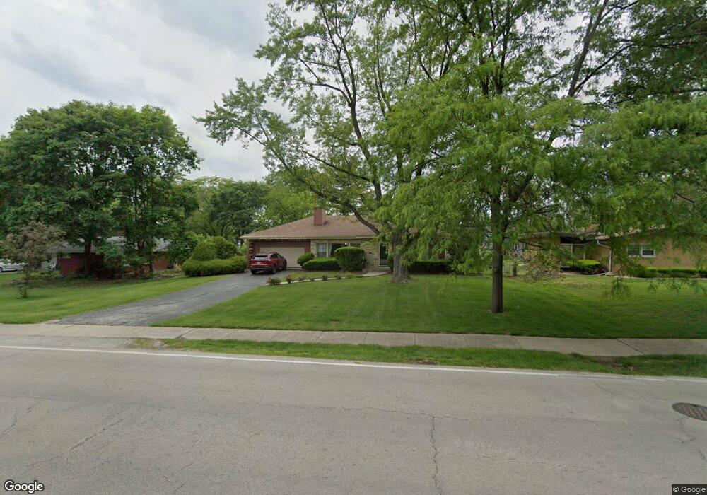
1028 Western Ave Flossmoor, IL 60422
Estimated Value: $326,458 - $374,000
4
Beds
2
Baths
1,944
Sq Ft
$175/Sq Ft
Est. Value
About This Home
This home is located at 1028 Western Ave, Flossmoor, IL 60422 and is currently estimated at $340,615, approximately $175 per square foot. 1028 Western Ave is a home located in Cook County with nearby schools including Western Avenue Elementary School, Parker Junior High School, and Homewood-Flossmoor High School.
Ownership History
Date
Name
Owned For
Owner Type
Purchase Details
Closed on
Aug 7, 1998
Sold by
Pullman Bank & Trust Company
Bought by
Macleod Douglas I R
Current Estimated Value
Home Financials for this Owner
Home Financials are based on the most recent Mortgage that was taken out on this home.
Original Mortgage
$136,800
Outstanding Balance
$26,474
Interest Rate
6.99%
Estimated Equity
$314,141
Create a Home Valuation Report for This Property
The Home Valuation Report is an in-depth analysis detailing your home's value as well as a comparison with similar homes in the area
Home Values in the Area
Average Home Value in this Area
Purchase History
| Date | Buyer | Sale Price | Title Company |
|---|---|---|---|
| Macleod Douglas I R | $144,000 | -- |
Source: Public Records
Mortgage History
| Date | Status | Borrower | Loan Amount |
|---|---|---|---|
| Open | Macleod Douglas I R | $136,800 |
Source: Public Records
Tax History
| Year | Tax Paid | Tax Assessment Tax Assessment Total Assessment is a certain percentage of the fair market value that is determined by local assessors to be the total taxable value of land and additions on the property. | Land | Improvement |
|---|---|---|---|---|
| 2025 | $10,507 | $28,000 | $11,550 | $16,450 |
| 2024 | $10,507 | $28,000 | $11,550 | $16,450 |
| 2023 | $7,904 | $28,000 | $11,550 | $16,450 |
| 2022 | $7,904 | $18,116 | $4,725 | $13,391 |
| 2021 | $7,967 | $18,115 | $4,725 | $13,390 |
| 2020 | $7,749 | $18,115 | $4,725 | $13,390 |
| 2019 | $8,767 | $19,697 | $4,200 | $15,497 |
| 2018 | $8,434 | $19,697 | $4,200 | $15,497 |
| 2017 | $8,311 | $19,697 | $4,200 | $15,497 |
| 2016 | $7,884 | $17,383 | $3,675 | $13,708 |
| 2015 | $7,855 | $17,383 | $3,675 | $13,708 |
| 2014 | $7,735 | $17,383 | $3,675 | $13,708 |
| 2013 | $7,526 | $18,382 | $3,675 | $14,707 |
Source: Public Records
Map
Nearby Homes
- 2622 Central Dr Unit 2N
- 2640 Central Dr Unit 1-N
- 1117 Leavitt Ave Unit 110
- 1141 Leavitt Ave Unit 115
- 712 Gardner Rd
- 2708 Hawthorne Ln
- 2303 Hutchison Rd
- 1002 Douglas Ave
- 1418 Western Ave
- 846 Park Dr
- 2817 Flossmoor Rd
- 1430 Brassie Ave
- 625 Perth Ave
- 625 Bruce Ave
- 18646 Palmer Cir
- 2045 Downey Rd
- 725 Braemar Rd
- 2619 Alexander St
- 18537 Palmer Ave
- 2929 Flossmoor Rd
- 1020 Western Ave
- 1036 Western Ave
- 1012 Western Ave
- 1027 Brassie Ave
- 1044 Western Ave
- 1035 Brassie Ave
- 1019 Brassie Ave
- 2411 Flossmoor Rd
- 2341 Carroll Pkwy
- 1041 Brassie Ave
- 1015 Western Ave
- 2430 Vardon Place
- 2333 Carroll Pkwy
- 2338 Carroll Pkwy
- 1007 Western Ave
- 2412 Flossmoor Rd
- 951 Western Ave
- 2325 Carroll Pkwy
- 2333 Flossmoor Rd
- 1109 Brassie Ave
Your Personal Tour Guide
Ask me questions while you tour the home.