Estimated Value: $89,000 - $108,892
--
Bed
--
Bath
1,134
Sq Ft
$90/Sq Ft
Est. Value
About This Home
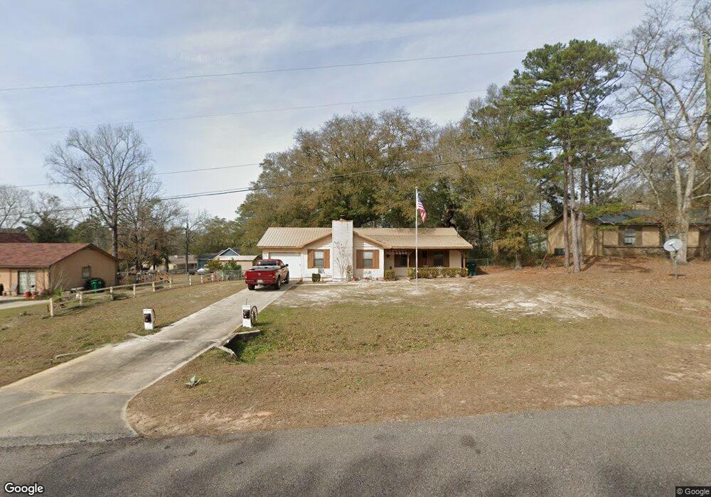
This home is located at 1028 Whittle Hudson Rd, Ozark, AL 36360 and is currently estimated at $101,973, approximately $89 per square foot. 1028 Whittle Hudson Rd is a home located in Dale County with nearby schools including Lisenby Primary School, Mixon Intermediate School, and D. A. Smith Middle School.
Ownership History
Date
Name
Owned For
Owner Type
Purchase Details
Closed on
May 13, 2025
Sold by
Bartow Dell Jerry
Bought by
Boben Eric James
Current Estimated Value
Home Financials for this Owner
Home Financials are based on the most recent Mortgage that was taken out on this home.
Original Mortgage
$75,000
Outstanding Balance
$74,734
Interest Rate
6.64%
Mortgage Type
New Conventional
Estimated Equity
$27,239
Create a Home Valuation Report for This Property
The Home Valuation Report is an in-depth analysis detailing your home's value as well as a comparison with similar homes in the area
Home Values in the Area
Average Home Value in this Area
Purchase History
| Date | Buyer | Sale Price | Title Company |
|---|---|---|---|
| Boben Eric James | $90,000 | None Listed On Document | |
| Boben Eric James | $90,000 | None Listed On Document |
Source: Public Records
Mortgage History
| Date | Status | Borrower | Loan Amount |
|---|---|---|---|
| Open | Boben Eric James | $75,000 | |
| Closed | Boben Eric James | $75,000 |
Source: Public Records
Tax History Compared to Growth
Tax History
| Year | Tax Paid | Tax Assessment Tax Assessment Total Assessment is a certain percentage of the fair market value that is determined by local assessors to be the total taxable value of land and additions on the property. | Land | Improvement |
|---|---|---|---|---|
| 2024 | $1,113 | $22,040 | $1,500 | $20,540 |
| 2023 | $949 | $18,800 | $1,100 | $17,700 |
| 2022 | $777 | $15,380 | $15,380 | $0 |
| 2021 | $723 | $14,320 | $1,100 | $13,220 |
| 2020 | $723 | $14,320 | $1,100 | $13,220 |
| 2019 | $723 | $14,320 | $1,100 | $13,220 |
| 2018 | $679 | $13,440 | $1,100 | $12,340 |
| 2017 | $679 | $13,440 | $1,100 | $12,340 |
| 2016 | $679 | $13,440 | $1,100 | $12,340 |
| 2015 | $679 | $13,440 | $1,100 | $12,340 |
| 2014 | $668 | $13,220 | $1,100 | $12,120 |
| 2013 | $661 | $13,220 | $1,100 | $12,120 |
Source: Public Records
Map
Nearby Homes
- 156 Casey Dr
- 102 Brookside Ln
- 137 Keisha Cir
- 1152 Whittle Hudson Rd
- TBD Whittle Hudson Rd
- 2.75 acres Whittle Hudson Rd
- 238 Juniper Dr
- Lot 6 Blk G Ashley Dr
- Lot 7 Blk G Amber Dr
- Lot 11 Blk C Garland Ave
- Lot 4 Block D Garland Ave
- 2.33 acres Parker Rd
- 248 Alberta Dr
- 220 Evergreen Ave
- 572 Sharon Ln
- 1 Acre Alley
- 1.18 Acre Alley
- 183 Alec Cir
- 212 Johanna Dr
- 284 Alec Cir
- 1012 Whittle Hudson Rd
- 1050 Whittle Hudson Rd
- 992 Whittle Hudson Rd
- 115 Brookside Ln
- 137 Brookside Ln
- 1078 Whittle Hudson Rd
- 980 Whittle Hudson Rd
- 103 Brookside Ln
- 103 Brookside Ln
- 981 Whittle Hudson Rd
- 171 Casey Dr
- 1100 Whittle Hudson Rd
- 179 Casey Dr
- 134 Brookside Ln
- 114 Brookside Ln
- 152 Brookside Ln
- 1116 Whittle Hudson Rd
- 104 Brookside Ln
- 122 Huntington Dr
- 172 Brookside Ln