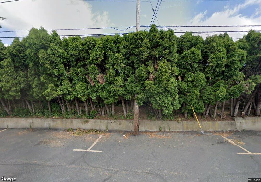
10280 SW Homestead Ln Beaverton, OR 97008
Denney Whitford NeighborhoodEstimated Value: $730,000 - $795,000
4
Beds
3
Baths
2,541
Sq Ft
$301/Sq Ft
Est. Value
About This Home
This home is located at 10280 SW Homestead Ln, Beaverton, OR 97008 and is currently estimated at $764,264, approximately $300 per square foot. 10280 SW Homestead Ln is a home located in Washington County with nearby schools including McKay Elementary School, Whitford Middle School, and Southridge High School.
Ownership History
Date
Name
Owned For
Owner Type
Purchase Details
Closed on
Feb 15, 2022
Sold by
Rr Gebo Survivor Trust
Bought by
Karen A Zwickert Trust
Current Estimated Value
Purchase Details
Closed on
Sep 9, 2014
Sold by
Rossman William G
Bought by
Rossman William G and Bates Rossman Jody A
Home Financials for this Owner
Home Financials are based on the most recent Mortgage that was taken out on this home.
Original Mortgage
$342,400
Interest Rate
4.09%
Mortgage Type
New Conventional
Create a Home Valuation Report for This Property
The Home Valuation Report is an in-depth analysis detailing your home's value as well as a comparison with similar homes in the area
Home Values in the Area
Average Home Value in this Area
Purchase History
| Date | Buyer | Sale Price | Title Company |
|---|---|---|---|
| Karen A Zwickert Trust | $86,000 | None Listed On Document | |
| Rossman William G | -- | Fidelity National Title Co |
Source: Public Records
Mortgage History
| Date | Status | Borrower | Loan Amount |
|---|---|---|---|
| Previous Owner | Rossman William G | $342,400 |
Source: Public Records
Tax History Compared to Growth
Tax History
| Year | Tax Paid | Tax Assessment Tax Assessment Total Assessment is a certain percentage of the fair market value that is determined by local assessors to be the total taxable value of land and additions on the property. | Land | Improvement |
|---|---|---|---|---|
| 2025 | $8,385 | $397,400 | -- | -- |
| 2024 | $7,916 | $385,830 | -- | -- |
| 2023 | $7,916 | $374,600 | $0 | $0 |
| 2022 | $7,577 | $374,600 | $0 | $0 |
| 2021 | $7,311 | $353,100 | $0 | $0 |
| 2020 | $6,814 | $329,530 | $0 | $0 |
| 2019 | $6,599 | $319,940 | $0 | $0 |
| 2018 | $6,388 | $310,630 | $0 | $0 |
| 2017 | $6,150 | $301,590 | $0 | $0 |
| 2016 | $5,936 | $292,810 | $0 | $0 |
| 2015 | $5,715 | $284,290 | $0 | $0 |
| 2014 | $5,593 | $276,010 | $0 | $0 |
Source: Public Records
Map
Nearby Homes
- 10345 SW Homestead Ln
- 8512 SW Brightfield Cir Unit 49
- 8050 SW 103rd Ave
- 10080 SW Crystal St
- 8949 SW Fairview Place Unit 2
- 9845 SW Eagle Ln
- 11220 SW Bel Aire Ln Unit 9
- 7720 SW Bel Aire Dr
- 7640 SW Whitford Dr
- 10440 SW Denney Rd
- 11420 SW Timberline Dr
- 8815 SW Oleson Rd
- 9450 SW Lehman St
- 9576 SW 91st Ave Unit 7
- 9560 SW 91st Ave Unit 3
- 9596 SW 91st Ave Unit 12
- 9556 SW 91st Ave Unit 2
- 9552 SW 91st Ave Unit 1
- 9358 SW Claridge Dr
- 10275 SW Winter Ln
- 10290 SW Homestead Ln
- 8475 SW Scholls Ferry Rd Unit 1
- 8475 SW Scholls Ferry Rd
- 10200 SW Homestead Ln
- 10320 SW Homestead Ln
- 8624 SW Hall Blvd
- 10350 SW Homestead Ln
- 10255 SW Homestead Ln
- 10285 SW Homestead 36ac
- 10285 SW Homestead Ln
- 10225 SW Homestead Ln
- 8622 SW Hall Blvd
- 10315 SW Homestead Ln
- 10185 SW Homestead Ln
- 10380 SW Homestead Ln
- 8610 SW Hall Blvd
- 8325 SW Scholls Ferry Rd
- 10410 SW Homestead Ln
- 10375 SW Homestead Ln
- 8600 SW Scholls Ferry Rd
