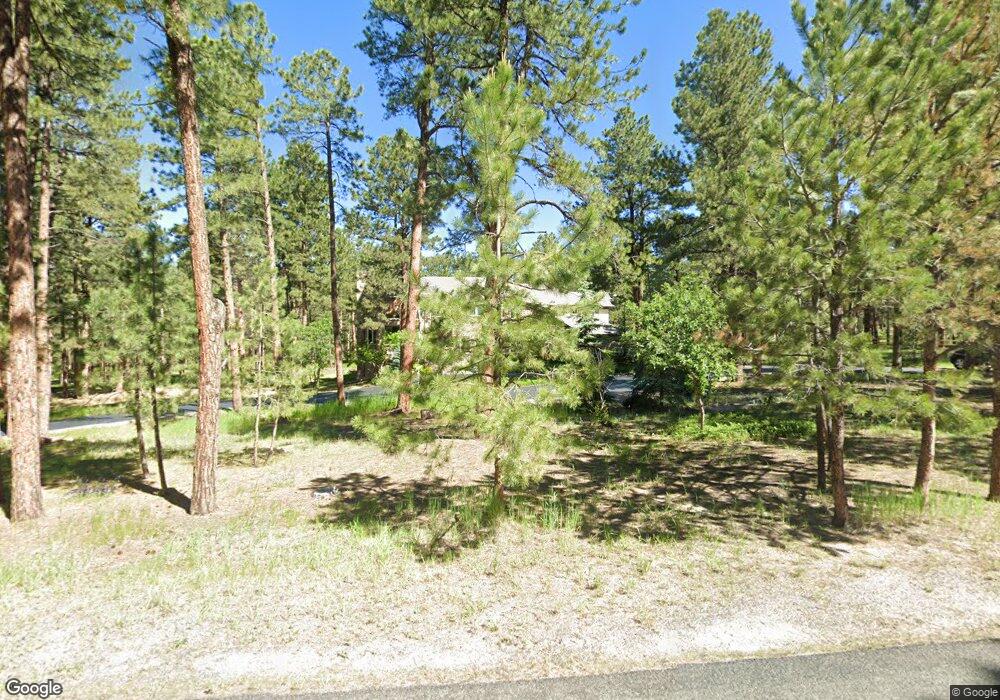
10281 Fawn Cir Unit 1 Franktown, CO 80116
Estimated Value: $1,652,000 - $1,978,000
4
Beds
6
Baths
7,940
Sq Ft
$225/Sq Ft
Est. Value
About This Home
This home is located at 10281 Fawn Cir Unit 1, Franktown, CO 80116 and is currently estimated at $1,783,178, approximately $224 per square foot. 10281 Fawn Cir Unit 1 is a home located in Douglas County with nearby schools including Franktown Elementary School, Sagewood Middle School, and Ponderosa High School.
Ownership History
Date
Name
Owned For
Owner Type
Purchase Details
Closed on
Apr 23, 2021
Sold by
Postlewate Mark and Postlewate Cathleen
Bought by
The Hound Living Trust
Current Estimated Value
Purchase Details
Closed on
Aug 29, 2011
Sold by
10281 Fawn Llc
Bought by
Postlewate Mark and Postlewate Cathleen
Purchase Details
Closed on
Mar 14, 2011
Sold by
303 Investments Inc
Bought by
10281 Fawn Llc
Purchase Details
Closed on
Dec 13, 2010
Sold by
Ankenbauer Theodore R and Ankenbauer Kathleen S
Bought by
Alliant Credit Union
Purchase Details
Closed on
Oct 29, 1993
Sold by
Ford Alan C and Ford Maureen E
Bought by
Ankenbauer Theodore R and Ankenbauer Kathleen S
Purchase Details
Closed on
May 24, 1984
Sold by
Deerfield Land Co
Bought by
Ford Alan C and Ford Maureen E
Create a Home Valuation Report for This Property
The Home Valuation Report is an in-depth analysis detailing your home's value as well as a comparison with similar homes in the area
Home Values in the Area
Average Home Value in this Area
Purchase History
| Date | Buyer | Sale Price | Title Company |
|---|---|---|---|
| The Hound Living Trust | -- | None Available | |
| Postlewate Mark | $680,000 | Heritage Title | |
| 10281 Fawn Llc | -- | Fidelity National Title Insu | |
| 303 Investments Inc | $400,000 | Fidelity National Title Insu | |
| Alliant Credit Union | -- | None Available | |
| Ankenbauer Theodore R | $76,500 | -- | |
| Ford Alan C | $44,900 | -- |
Source: Public Records
Tax History Compared to Growth
Tax History
| Year | Tax Paid | Tax Assessment Tax Assessment Total Assessment is a certain percentage of the fair market value that is determined by local assessors to be the total taxable value of land and additions on the property. | Land | Improvement |
|---|---|---|---|---|
| 2024 | $8,739 | $111,780 | $35,840 | $75,940 |
| 2023 | $9,420 | $111,780 | $35,840 | $75,940 |
| 2022 | $6,922 | $82,680 | $24,380 | $58,300 |
| 2021 | $7,173 | $82,680 | $24,380 | $58,300 |
| 2020 | $6,602 | $77,860 | $20,320 | $57,540 |
| 2019 | $6,634 | $77,860 | $20,320 | $57,540 |
| 2018 | $6,094 | $70,270 | $16,670 | $53,600 |
| 2017 | $5,674 | $67,030 | $16,670 | $50,360 |
| 2016 | $5,531 | $67,170 | $15,200 | $51,970 |
| 2015 | $5,657 | $67,170 | $15,200 | $51,970 |
| 2014 | $5,202 | $57,730 | $9,150 | $48,580 |
Source: Public Records
Map
Nearby Homes
- 10525 Wild Fox Place
- 230 S Big Meadow Trail
- 720 N Bluff Dr
- 11008 Sunset Oaks Place
- 11011 Sunset Oaks
- 9142 Warriors Mark Dr
- 11044 Conestoga Place
- 9162 Warriors Mark Dr
- 11584 E State Highway 86
- 104 Bill Davis Rd
- 1750 Arrowpoint Ct
- 1721 Arrowpoint Ct
- 1724 Arrowpoint Ct
- 1579 Deerpath Rd
- 1730 Ward Cir
- 856 Woodridge Rd
- 8987 Village Pines Cir
- 8788 E Tanglewood Rd
- 1559 Apex Rd
- 1571 Arrowpoint Ct
- 10327 Fawn Cir
- 10290 Fawn Cir
- 155 S White Tail Dr
- 194 S White Tail Dr
- 380 Doe Cir
- 10340 Fawn Cir
- 138 S White Tail Dr
- 263 S White Tail Dr
- 123 S White Tail Dr
- 369 Doe Cir
- 437 S White Tail Dr
- 417 Doe Cir
- 230 S White Tail Dr
- 457 S White Tail Dr
- 305 S White Tail Dr
- 468 Doe Cir
- 479 S White Tail Dr
- 256 S White Tail Dr
- 106 S White Tail Dr
- 288 S White Tail Dr