Estimated Value: $160,279 - $480,000
--
Bed
2
Baths
2,033
Sq Ft
$156/Sq Ft
Est. Value
About This Home
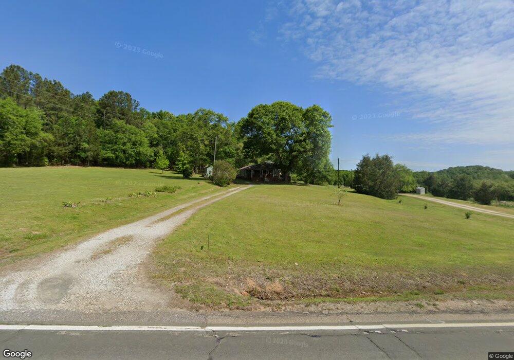
This home is located at 10281 Highway 172, Comer, GA 30629 and is currently estimated at $316,570, approximately $155 per square foot. 10281 Highway 172 is a home located in Madison County with nearby schools including Madison County High School.
Ownership History
Date
Name
Owned For
Owner Type
Purchase Details
Closed on
May 20, 2009
Sold by
Bruce Steve
Bought by
Bruce Keely Hix
Current Estimated Value
Purchase Details
Closed on
Oct 6, 2006
Sold by
Hix Velton
Bought by
Bruce Keely Hix and Bruce Steve
Home Financials for this Owner
Home Financials are based on the most recent Mortgage that was taken out on this home.
Original Mortgage
$110,000
Interest Rate
6.45%
Mortgage Type
New Conventional
Purchase Details
Closed on
Jan 1, 1984
Bought by
Hix Velton
Create a Home Valuation Report for This Property
The Home Valuation Report is an in-depth analysis detailing your home's value as well as a comparison with similar homes in the area
Home Values in the Area
Average Home Value in this Area
Purchase History
| Date | Buyer | Sale Price | Title Company |
|---|---|---|---|
| Bruce Keely Hix | -- | -- | |
| Bruce Keely Hix | $110,000 | -- | |
| Hix Velton | -- | -- |
Source: Public Records
Mortgage History
| Date | Status | Borrower | Loan Amount |
|---|---|---|---|
| Previous Owner | Bruce Keely Hix | $110,000 |
Source: Public Records
Tax History Compared to Growth
Tax History
| Year | Tax Paid | Tax Assessment Tax Assessment Total Assessment is a certain percentage of the fair market value that is determined by local assessors to be the total taxable value of land and additions on the property. | Land | Improvement |
|---|---|---|---|---|
| 2024 | $948 | $38,436 | $13,838 | $24,598 |
| 2023 | $1,062 | $34,786 | $11,531 | $23,255 |
| 2022 | $743 | $28,940 | $7,929 | $21,011 |
| 2021 | $666 | $23,805 | $7,929 | $15,876 |
| 2020 | $635 | $22,652 | $6,776 | $15,876 |
| 2019 | $633 | $22,365 | $6,776 | $15,589 |
| 2018 | $605 | $21,401 | $6,199 | $15,202 |
| 2017 | $607 | $21,071 | $5,766 | $15,305 |
| 2016 | $470 | $18,362 | $5,025 | $13,337 |
| 2015 | $470 | $18,362 | $5,025 | $13,337 |
| 2014 | $448 | $17,511 | $4,111 | $13,400 |
| 2013 | -- | $17,511 | $4,111 | $13,400 |
Source: Public Records
Map
Nearby Homes
- 2970 Davids Home Church Rd
- 288 Katie Beth Rd
- 1458 & 1463 Parham Town Rd
- 2660 Parham Town Rd
- 1825 Seymour Rd
- 0 Dusty Rd Unit 10569563
- 0 Dusty Rd Unit 7619983
- 3334 Cherokee Rd
- 1348 Barwick Hill Rd
- 1255 Seymour Rd
- 01 Cherokee Rd
- 1257 Seymour Rd
- 3272 Horace Rd
- 0 Sand Hill Rd Unit 10595328
- 1683 Dove-Drake Rd
- 0 Paoli Rd Unit 23882833
- 375 S Broad St
- 0 Hwy 191 Unit CL339505
- 2784 Stanley Maxwell Rd
- 1963 Rehoboth Rd Unit EXTENSION
- 10282 Highway 172
- 10282 Highway 172
- 10171 Highway 172
- 10059 Highway 172
- 10034 Highway 172
- 10368 Highway 172
- 0 Roy Woods Rd Unit CM304193
- 0 Roy Woods Rd Unit 8549640
- 0 Roy Woods Rd Unit 2816677
- 0 Roy Woods Rd Unit 8255167
- 0 Roy Woods Rd Unit 7470406
- 3797 Davids Home Church Rd
- 9851 Highway 172
- 9901 Highway 172
- 468 Chambers Rd
- 3645 Davids Home Church Rd
- 10614 Highway 172
- 0 E Highway 172
- 3555 Davids Home Church Rd
- 3644 Davids Home Church Rd
