Estimated Value: $75,489 - $178,000
Studio
1
Bath
896
Sq Ft
$145/Sq Ft
Est. Value
About This Home
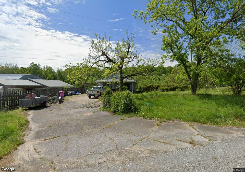
This home is located at 10282 Highway 172, Comer, GA 30629 and is currently estimated at $129,830, approximately $144 per square foot. 10282 Highway 172 is a home located in Madison County with nearby schools including Madison County High School.
Ownership History
Date
Name
Owned For
Owner Type
Purchase Details
Closed on
Apr 28, 2021
Sold by
Hix Brenda
Bought by
Hix Velton
Current Estimated Value
Purchase Details
Closed on
Jun 25, 2004
Sold by
Adriano Joyce H
Bought by
Young Teresa H
Purchase Details
Closed on
Apr 15, 2004
Sold by
Young Teresa H
Bought by
Adriano Joyce H
Purchase Details
Closed on
May 13, 2003
Sold by
Hix George T
Bought by
Hix Velton
Purchase Details
Closed on
Oct 23, 2000
Sold by
Floyd Rachel C
Bought by
Hix Velton Jr Etal
Purchase Details
Closed on
Aug 25, 1998
Sold by
Hix Velton
Bought by
Floyd Rachel C
Create a Home Valuation Report for This Property
The Home Valuation Report is an in-depth analysis detailing your home's value as well as a comparison with similar homes in the area
Purchase History
| Date | Buyer | Sale Price | Title Company |
|---|---|---|---|
| Hix Velton | $45,000 | -- | |
| Hix Velton | $45,000 | -- | |
| Young Teresa H | -- | -- | |
| Adriano Joyce H | $5,000 | -- | |
| Hix Velton | -- | -- | |
| Hix Velton Jr Etal | -- | -- | |
| Floyd Rachel C | -- | -- |
Source: Public Records
Tax History
| Year | Tax Paid | Tax Assessment Tax Assessment Total Assessment is a certain percentage of the fair market value that is determined by local assessors to be the total taxable value of land and additions on the property. | Land | Improvement |
|---|---|---|---|---|
| 2025 | $604 | $23,769 | $12,787 | $10,982 |
| 2024 | $6 | $23,431 | $12,787 | $10,644 |
| 2023 | $536 | $20,589 | $10,656 | $9,933 |
| 2022 | $444 | $16,098 | $7,326 | $8,772 |
| 2021 | $423 | $13,843 | $7,326 | $6,517 |
| 2020 | $393 | $12,777 | $6,260 | $6,517 |
| 2019 | $393 | $12,636 | $6,260 | $6,376 |
| 2018 | $369 | $11,828 | $5,728 | $6,100 |
| 2017 | $334 | $11,586 | $5,328 | $6,258 |
| 2016 | $277 | $9,658 | $4,408 | $5,250 |
| 2015 | $277 | $9,658 | $4,408 | $5,250 |
| 2014 | $257 | $8,888 | $3,607 | $5,281 |
| 2013 | -- | $8,888 | $3,607 | $5,281 |
Source: Public Records
Map
Nearby Homes
- 1271 Della Slaton Rd
- 2660 Parham Town Rd
- 2115 Dusty Rd
- 0 Dusty Rd Unit 10569563
- 0 Dusty Rd Unit 7619983
- 8714 Georgia 172
- 2285 Cherokee Rd
- 1257 Seymour Rd
- 3272 Horace Rd
- 1211 Parham Town Rd
- 0 Sand Hill Rd Unit 10595328
- 787 Parham Town Rd
- 494 S Broad St
- 0 Paoli Rd Unit 23882833
- 4115 Georgia 191
- 0 Hwy 191 Unit CL350619
- 1366 Dove Drake Rd
- 0 Osley Mill Rd Unit 10671196
- 0 Osley Mill Rd Unit CL346762
- 417 Cheek Pulliam Rd
- 10282 Highway 172
- 10281 Highway 172
- 10171 Highway 172
- 10034 Highway 172
- 10059 Highway 172
- 10368 Highway 172
- 3797 Davids Home Church Rd
- 468 Chambers Rd
- 9851 Highway 172
- 0 Roy Woods Rd Unit CM304193
- 0 Roy Woods Rd Unit 2816677
- 9901 Highway 172
- 3645 Davids Home Church Rd
- 10614 Highway 172
- 3555 Davids Home Church Rd
- 3644 Davids Home Church Rd
- 3644 Davids Home Church Rd
- 9585 Highway 172
- 3615 Parhamtown Rd
- 3414 Davids Home Church Rd
Your Personal Tour Guide
Ask me questions while you tour the home.