10285 Anthonies Estate Dr Bourbon, MO 65441
Estimated Value: $285,456 - $573,000
Studio
--
Bath
1,012
Sq Ft
$446/Sq Ft
Est. Value
About This Home
This home is located at 10285 Anthonies Estate Dr, Bourbon, MO 65441 and is currently estimated at $451,114, approximately $445 per square foot. 10285 Anthonies Estate Dr is a home with nearby schools including Bourbon Elementary School, Bourbon Middle School, and Bourbon High School.
Ownership History
Date
Name
Owned For
Owner Type
Purchase Details
Closed on
Mar 7, 2014
Sold by
Timothy D and Timothy D
Bought by
Benoist Timothy D and Benoist Melvin B
Current Estimated Value
Purchase Details
Closed on
Jul 30, 2012
Sold by
Benoist Melvin
Bought by
Benoist Timothy D
Purchase Details
Closed on
Feb 8, 2008
Sold by
Abernathy Donald E and Abernathy Genevieve L
Bought by
Benoist Melvin B and Benoist Mary A
Purchase Details
Closed on
Feb 1, 2008
Sold by
Abernathy Rex
Bought by
Abernathy Donald E and Abernathy Genevieve L
Create a Home Valuation Report for This Property
The Home Valuation Report is an in-depth analysis detailing your home's value as well as a comparison with similar homes in the area
Purchase History
| Date | Buyer | Sale Price | Title Company |
|---|---|---|---|
| Benoist Timothy D | -- | -- | |
| Benoist Timothy D | -- | -- | |
| Benoist Melvin B | -- | -- | |
| Abernathy Donald E | -- | -- | |
| Abernathy Donald E | -- | -- |
Source: Public Records
Tax History
| Year | Tax Paid | Tax Assessment Tax Assessment Total Assessment is a certain percentage of the fair market value that is determined by local assessors to be the total taxable value of land and additions on the property. | Land | Improvement |
|---|---|---|---|---|
| 2025 | $2,142 | $35,860 | $3,880 | $31,980 |
| 2024 | $18 | $31,690 | $3,880 | $27,810 |
| 2023 | $1,831 | $31,690 | $3,880 | $27,810 |
| 2022 | $1,831 | $31,690 | $3,880 | $27,810 |
| 2021 | $1,838 | $31,690 | $3,880 | $27,810 |
| 2020 | $1,874 | $31,690 | $3,880 | $27,810 |
| 2019 | $1,529 | $25,970 | $2,170 | $23,800 |
| 2018 | $128 | $2,170 | $0 | $0 |
| 2017 | $128 | $2,170 | $2,170 | $0 |
| 2016 | $128 | $2,170 | $2,170 | $0 |
| 2014 | -- | $2,170 | $0 | $0 |
| 2013 | -- | $2,170 | $0 | $0 |
| 2012 | -- | $2,170 | $0 | $0 |
Source: Public Records
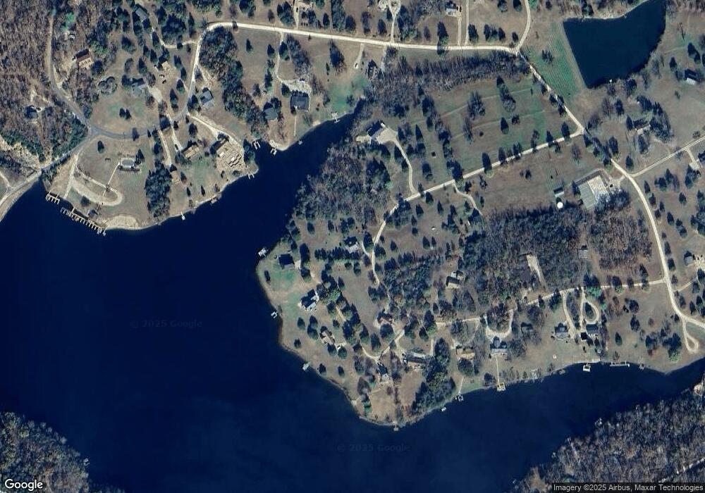
Map
Nearby Homes
- 226 Anthonies Mill Rd
- Lot #8 Anthonies Mill Rd
- 31 Anthonies Mill Rd
- 11562 Anthonies Mill Rd
- 8 Woodland Lakes
- 10115 Lakeside Dr
- 10283 Green Bottom Dr
- TBB State Hwy N
- 0 Flaming Leaf Dr Unit MIS25082007
- 0 Lodge Tract 4 Rd Unit MIS26001888
- 0 Rd Unit MIS26015406
- 0 Lodge Tract 6 Rd Unit MIS26015410
- 10756 Hamilton Hollow Rd
- 10030 Plum Rd
- 5767 Highway N
- 000 Forest Service Road 2284
- 0 Floyd Tower Rd
- 10857 High Top Rd
- 10123 Happy Trail
- 10138 Short Cut Trail
- 10329 Anthonies Estate Dr
- 10329 Anthonies Estate Dr Unit 90
- 10045 Lake Point Rd
- 10015 Lake Point Rd Unit 156C
- 10015 Lake Point Rd
- 10015 Lake Point Rd
- 10046 Lake Point Rd
- 10202 Anthonies Estate Dr
- 10113 Lake Point Rd
- 10380 Anthonies Estate Dr
- 10380 Anthonies Estate Dr
- 10915 Anthonies Estates Dr
- 10195 Anthonies Mill Rd
- 10161 Anthonies Estate Dr
- 100950 Log Cabin Rd
- 94 Anthonie's Estates Dr
- 99 Anthonie's Estates Dr
- 140 Anthonies Mill Rd
- 10041 Toumayn Ln
- 10376 Anthonies Mill Rd
Your Personal Tour Guide
Ask me questions while you tour the home.