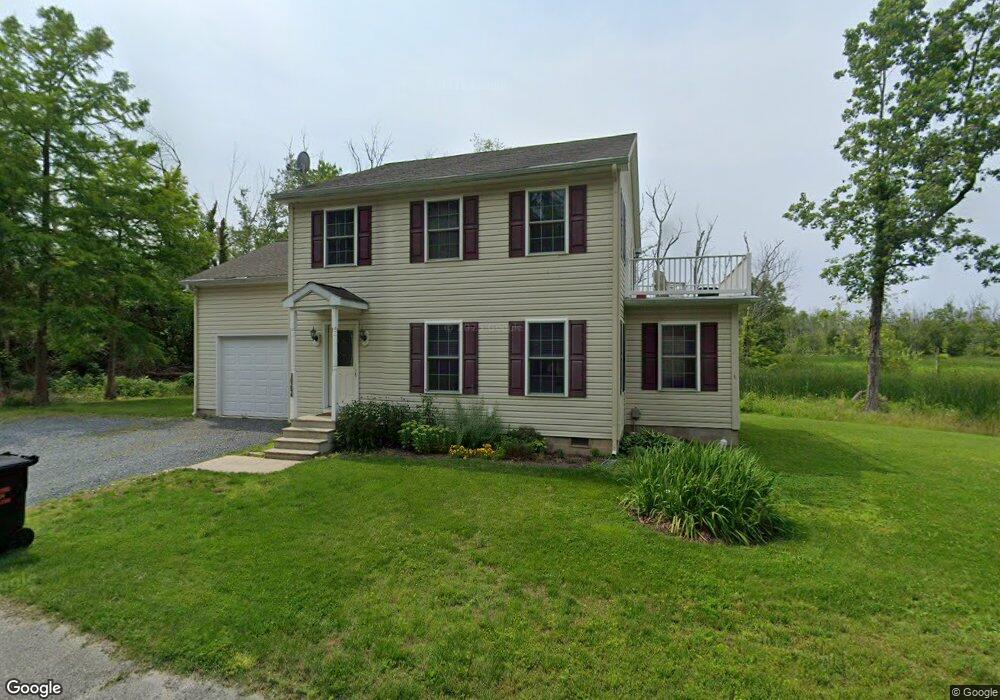
10286 Tuckahoe Landing Rd Cordova, MD 21625
Estimated Value: $405,000 - $571,000
--
Bed
--
Bath
1,888
Sq Ft
$247/Sq Ft
Est. Value
About This Home
This home is located at 10286 Tuckahoe Landing Rd, Cordova, MD 21625 and is currently estimated at $466,333, approximately $246 per square foot. 10286 Tuckahoe Landing Rd is a home with nearby schools including Chapel District Elementary School, Easton Middle School, and Easton High School.
Ownership History
Date
Name
Owned For
Owner Type
Purchase Details
Closed on
Sep 17, 2003
Sold by
Secrist C Kenneth
Bought by
New Bridge Llc
Current Estimated Value
Purchase Details
Closed on
Nov 13, 1987
Sold by
Thomas Ollie J
Bought by
Secrist C Kenneth
Home Financials for this Owner
Home Financials are based on the most recent Mortgage that was taken out on this home.
Original Mortgage
$35,000
Interest Rate
10.66%
Create a Home Valuation Report for This Property
The Home Valuation Report is an in-depth analysis detailing your home's value as well as a comparison with similar homes in the area
Home Values in the Area
Average Home Value in this Area
Purchase History
| Date | Buyer | Sale Price | Title Company |
|---|---|---|---|
| New Bridge Llc | $15,000 | -- | |
| Secrist C Kenneth | $24,000 | -- |
Source: Public Records
Mortgage History
| Date | Status | Borrower | Loan Amount |
|---|---|---|---|
| Previous Owner | Secrist C Kenneth | $35,000 |
Source: Public Records
Tax History Compared to Growth
Tax History
| Year | Tax Paid | Tax Assessment Tax Assessment Total Assessment is a certain percentage of the fair market value that is determined by local assessors to be the total taxable value of land and additions on the property. | Land | Improvement |
|---|---|---|---|---|
| 2025 | $2,277 | $264,967 | $0 | $0 |
| 2024 | $2,277 | $247,733 | $0 | $0 |
| 2023 | $2,015 | $230,500 | $66,200 | $164,300 |
| 2022 | $1,848 | $227,200 | $0 | $0 |
| 2021 | $1,766 | $223,900 | $0 | $0 |
| 2020 | $1,699 | $220,600 | $65,600 | $155,000 |
| 2019 | $1,644 | $213,233 | $0 | $0 |
| 2018 | $1,538 | $205,867 | $0 | $0 |
| 2017 | $1,415 | $198,500 | $0 | $0 |
| 2016 | $1,336 | $198,500 | $0 | $0 |
| 2015 | $1,386 | $198,500 | $0 | $0 |
| 2014 | $1,386 | $212,400 | $0 | $0 |
Source: Public Records
Map
Nearby Homes
- 33293 Matthewstown Rd
- 8259 Haven St
- 0 Laurel Ln
- 7929 Laurel Ln
- 23296 Wilder Way
- 8578 Tuckahoe Rd
- LOT #6 High Banks Dr
- 0 High Banks Dr
- 9059 High Banks Dr
- 0 Quail Ct Unit MDCM2006644
- 6561 Bell Creek Rd
- 24383 Robins Creek Rd
- 0 Asbury Dr
- 31570 Miller Rd
- 24276 Asbury Dr
- 24324 Asbury Dr
- 10640 Kittys Corner Rd
- 8548 Dogwood Blossom Ln
- 24749 Woods Dr
- 24800 Pealiquor Rd
- 33342 Matthewstown Rd
- 33359 Matthewstown Rd
- 33380 Tuckahoe River Rd
- 33327 Matthewstown Rd
- 33392 Tuckahoe River Rd
- 33311 Matthewstown Rd
- 2 New Bridge Rd
- 33281 Matthewstown Rd
- 10238 Highfield Rd
- 33444 Tuckahoe River Rd
- 33431 Tuckahoe River Rd
- 8172 New Bridge Rd
- 10262 Highfield Rd
- 33478 Tuckahoe River Rd
- 8174 New Bridge Rd
- 8190 New Bridge Rd
- 33210 Matthewstown Rd
- 33498 Tuckahoe River Rd
- 33500 Tuckahoe River Rd
- 33182 Matthewstown Rd