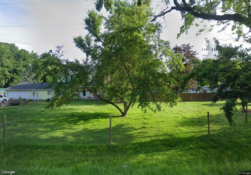
10289 E Stanley Rd Davison, MI 48423
Estimated Value: $179,000 - $235,442
3
Beds
1
Bath
1,020
Sq Ft
$200/Sq Ft
Est. Value
About This Home
This home is located at 10289 E Stanley Rd, Davison, MI 48423 and is currently estimated at $203,611, approximately $199 per square foot. 10289 E Stanley Rd is a home located in Genesee County with nearby schools including Columbiaville Elementary School, Otisville Elementary School, and Lakeville Middle School.
Ownership History
Date
Name
Owned For
Owner Type
Purchase Details
Closed on
Jun 21, 2024
Sold by
Jacobs Jeremy
Bought by
Lalonde Edward and Lalonde Shelly
Current Estimated Value
Purchase Details
Closed on
Sep 8, 2015
Sold by
Jacobs John
Bought by
Jacobs Jeremy
Purchase Details
Closed on
Jul 30, 2015
Sold by
Roseberry Scott A and Roseberry Joni L
Bought by
Jacobs John
Purchase Details
Closed on
Sep 15, 2004
Sold by
Estate Of Mickey C Higgins
Bought by
Roseberry Scott A and Roseberry Joni L
Purchase Details
Closed on
May 4, 1999
Sold by
Higgins Mickey C and Higgins Yvonne J
Bought by
Higgins Mickey C
Create a Home Valuation Report for This Property
The Home Valuation Report is an in-depth analysis detailing your home's value as well as a comparison with similar homes in the area
Home Values in the Area
Average Home Value in this Area
Purchase History
| Date | Buyer | Sale Price | Title Company |
|---|---|---|---|
| Lalonde Edward | $80,000 | None Listed On Document | |
| Jacobs Jeremy | -- | Attorney | |
| Jacobs John | $87,000 | Sargents Title Company | |
| Roseberry Scott A | $87,000 | First American Title | |
| Higgins Mickey C | -- | -- |
Source: Public Records
Tax History
| Year | Tax Paid | Tax Assessment Tax Assessment Total Assessment is a certain percentage of the fair market value that is determined by local assessors to be the total taxable value of land and additions on the property. | Land | Improvement |
|---|---|---|---|---|
| 2025 | $2,734 | $82,400 | $0 | $0 |
| 2024 | $570 | $77,400 | $0 | $0 |
| 2023 | $544 | $69,400 | $0 | $0 |
| 2022 | $2,401 | $60,700 | $0 | $0 |
| 2021 | $2,386 | $52,300 | $0 | $0 |
| 2020 | $498 | $48,700 | $0 | $0 |
| 2019 | $490 | $50,200 | $0 | $0 |
| 2018 | $1,698 | $47,200 | $0 | $0 |
| 2017 | $1,420 | $47,200 | $0 | $0 |
| 2016 | $1,440 | $48,000 | $0 | $0 |
Source: Public Records
Map
Nearby Homes
- 11033 Carr Rd
- 9465 Hubbard Rd
- 9377 Hubbard Rd
- 2444 E Stanley Rd
- 5346 N Oak Rd
- 6152 N Gale Rd
- 9110 E Coldwater Rd
- 8054 N Gale Rd
- 10287 Frances Rd
- 5383 N Henderson Rd
- 5438 N Henderson Rd
- 8353 Gale Rd
- 8460 Gale Rd
- 11392 E Carpenter Rd
- 12429 Mt Morris Rd
- 255 Roosevelt Dr
- 490 Harrison Dr
- 9508 Orchard Lake Dr
- 5727 Stanley Rd
- 9805 E Richfield Rd
- 10241 E Stanley Rd
- 10315 E Stanley Rd
- 10273 E Stanley Rd
- 10353 E Stanley Rd
- 10211 E Stanley Rd
- 10195 E Stanley Rd
- 10179 E Stanley Rd
- 10296 E Stanley Rd
- 10316 E Stanley Rd
- 10163 E Stanley Rd
- 10340 E Stanley Rd
- 10157 E E Stanley Rd Rd
- 10157 E Stanley Rd
- 10350 E Stanley Rd
- 10143 E Stanley Rd
- 10143 E Stanley Rd
- 10326 E Stanley Rd
- 10212 E Stanley Rd
- 10425 E Stanley Rd
- 10144 E Stanley Rd
Your Personal Tour Guide
Ask me questions while you tour the home.