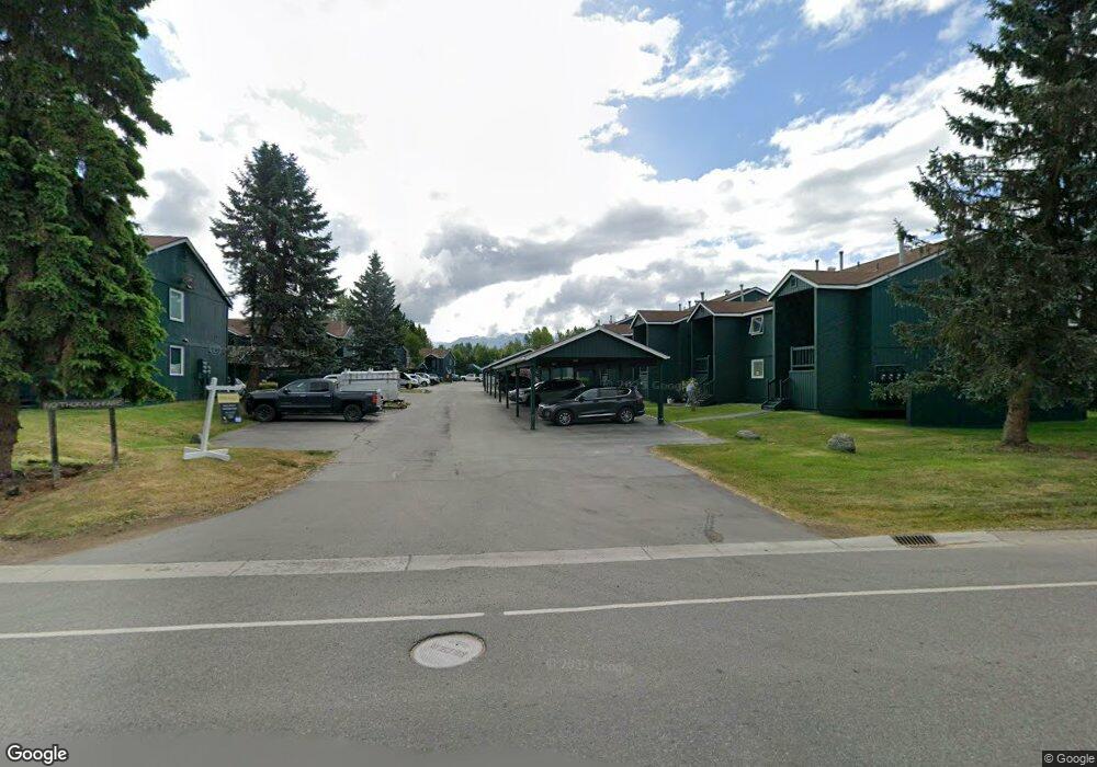
10289 Jamestown Dr Anchorage, AK 99507
Abbott Loop NeighborhoodEstimated Value: $84,000 - $171,000
1
Bed
1
Bath
531
Sq Ft
$265/Sq Ft
Est. Value
About This Home
This home is located at 10289 Jamestown Dr, Anchorage, AK 99507 and is currently estimated at $140,576, approximately $264 per square foot. 10289 Jamestown Dr is a home located in Anchorage Municipality with nearby schools including Bowman Elementary School, Hanshew Middle School, and Service High School.
Ownership History
Date
Name
Owned For
Owner Type
Purchase Details
Closed on
Jul 27, 2010
Sold by
Oshima Minoru
Bought by
Silva Rodolfo
Current Estimated Value
Home Financials for this Owner
Home Financials are based on the most recent Mortgage that was taken out on this home.
Original Mortgage
$97,042
Outstanding Balance
$64,703
Interest Rate
4.71%
Mortgage Type
VA
Estimated Equity
$75,873
Create a Home Valuation Report for This Property
The Home Valuation Report is an in-depth analysis detailing your home's value as well as a comparison with similar homes in the area
Home Values in the Area
Average Home Value in this Area
Purchase History
| Date | Buyer | Sale Price | Title Company |
|---|---|---|---|
| Silva Rodolfo | -- | Atga |
Source: Public Records
Mortgage History
| Date | Status | Borrower | Loan Amount |
|---|---|---|---|
| Open | Silva Rodolfo | $97,042 |
Source: Public Records
Tax History Compared to Growth
Tax History
| Year | Tax Paid | Tax Assessment Tax Assessment Total Assessment is a certain percentage of the fair market value that is determined by local assessors to be the total taxable value of land and additions on the property. | Land | Improvement |
|---|---|---|---|---|
| 2025 | $1,189 | $158,100 | -- | $158,100 |
| 2024 | $1,189 | $122,700 | $0 | $122,700 |
| 2023 | $1,860 | $109,200 | $0 | $109,200 |
| 2022 | $1,483 | $110,100 | $0 | $110,100 |
| 2021 | $1,910 | $106,000 | $0 | $106,000 |
| 2020 | $1,517 | $111,700 | $0 | $111,700 |
| 2019 | $1,347 | $102,900 | $0 | $102,900 |
| 2018 | $1,257 | $95,800 | $0 | $95,800 |
| 2017 | $1,397 | $99,100 | $0 | $99,100 |
| 2016 | $1,355 | $106,800 | $0 | $106,800 |
| 2015 | $1,355 | $99,800 | $0 | $99,800 |
| 2014 | $1,355 | $94,900 | $0 | $94,900 |
Source: Public Records
Map
Nearby Homes
- 1900-1941 Marthas Vineyard Cir
- 10260 Jamestown Dr Unit A8
- 10250 Jamestown Dr Unit B09
- 8000 Independence Park Dr
- 1914 Sturbridge Ct Unit 3
- 10261 Arborvitae Dr
- 2060 Sturbridge Cir
- 1917 Colony Place Unit 33
- 10359 Valley Park Dr
- 1611 Betula Cir
- 9623 Newhaven Loop
- 10690 Commodore Dr
- 9730 Vanguard Dr Unit 12
- 1510 Elcadore Dr Unit 134
- 9599 Brayton Dr Unit 422
- 1500 Elcadore Cir Unit 1
- 9830 Reliance Dr
- 1250 Golden Berry Ave
- 10009 Thimble Berry Dr
- 10412 Thimble Berry Dr
- 10291 Jamestown Dr
- 10287 Jamestown Dr
- 10285 Jamestown Dr
- 10283 Jamestown Dr
- 10281 Jamestown Dr
- 10291 Jamestown Dr
- 10289 Jamestown Dr
- 10287 Jamestown Dr
- 10285 Jamestown Dr
- 10283 Jamestown Dr
- 10281 Jamestown Dr
- 10289 Jamestown Dr Unit 809
- 10287 Jamestown Dr Unit 808
- 10285 Jamestown Dr Unit 806
- 10281 Jamestown Dr Unit 801
- 10291 Jamestown Dr Unit 812
- 10287 Jamestown Dr Unit I807
- 10289 Jamestown Dr Unit I810
- 10291 Jamestown Dr Unit I811
- 10285 Jamestown Dr Unit 805