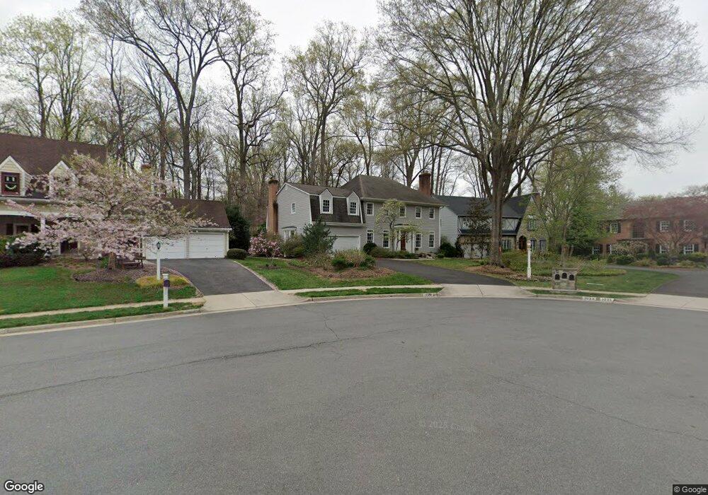
1029 Broad Branch Ct McLean, VA 22101
Estimated Value: $1,952,959 - $2,326,000
4
Beds
5
Baths
3,678
Sq Ft
$569/Sq Ft
Est. Value
About This Home
This home is located at 1029 Broad Branch Ct, McLean, VA 22101 and is currently estimated at $2,094,240, approximately $569 per square foot. 1029 Broad Branch Ct is a home located in Fairfax County with nearby schools including Churchill Road Elementary School, Cooper Middle School, and Langley High School.
Ownership History
Date
Name
Owned For
Owner Type
Purchase Details
Closed on
Nov 20, 2020
Sold by
Sullivan Mary Lou and Sullivan Mary G
Bought by
Sullivan Mary Lou and Mary Lou Sullivan Revocable Trust
Current Estimated Value
Create a Home Valuation Report for This Property
The Home Valuation Report is an in-depth analysis detailing your home's value as well as a comparison with similar homes in the area
Home Values in the Area
Average Home Value in this Area
Purchase History
| Date | Buyer | Sale Price | Title Company |
|---|---|---|---|
| Sullivan Mary Lou | -- | Accommodation |
Source: Public Records
Tax History
| Year | Tax Paid | Tax Assessment Tax Assessment Total Assessment is a certain percentage of the fair market value that is determined by local assessors to be the total taxable value of land and additions on the property. | Land | Improvement |
|---|---|---|---|---|
| 2025 | $19,492 | $1,779,160 | $725,000 | $1,054,160 |
| 2024 | $19,492 | $1,602,760 | $615,000 | $987,760 |
| 2023 | $16,811 | $1,417,390 | $570,000 | $847,390 |
| 2022 | $16,701 | $1,391,040 | $557,000 | $834,040 |
| 2021 | $16,085 | $1,310,870 | $541,000 | $769,870 |
| 2020 | $15,926 | $1,289,360 | $541,000 | $748,360 |
| 2019 | $15,748 | $1,273,390 | $541,000 | $732,390 |
| 2018 | $14,402 | $1,252,390 | $520,000 | $732,390 |
| 2017 | $14,676 | $1,210,400 | $517,000 | $693,400 |
| 2016 | $14,094 | $1,163,730 | $497,000 | $666,730 |
Source: Public Records
Map
Nearby Homes
- 1146 Wimbledon Dr
- 1109 Ingleside Ave
- 1101 Dead Run Dr
- 6723 Georgetown Pike
- 1201 Allendale Rd
- 1104 Sharon Ct
- 6910 Bright Ave
- 1060 Harvey Rd
- 6634 Madison Mclean Dr
- 6625 Weatheford Ct
- 7000 Hector Rd
- 7011 Elizabeth Dr
- 913 Whann Ave
- 1105 Carper St
- 6800 Fleetwood Rd Unit 705
- 909 Douglass Dr
- 6804 Benjamin St
- 1316 Calder Rd
- 6900 Fleetwood Rd Unit 600
- 6911 Elm St
- 1033 Broad Branch Ct
- 1027 Broad Branch Ct
- 1035 Broad Branch Ct
- 1034 Broad Branch Ct
- 1030 Broad Branch Ct
- 1025 Broad Branch Ct
- 1028 Broad Branch Ct
- 1026 Broad Branch Ct
- 6756 Baron Rd
- 6760 Baron Rd
- 6754 Baron Rd
- 6752 Baron Rd
- 6748 Baron Rd
- 6762 Baron Rd
- 6764 Baron Rd
- 1023 Broad Branch Ct
- 6766 Baron Rd
- 6768 Baron Rd
- 6744 Baron Rd
- 6746 Baron Rd