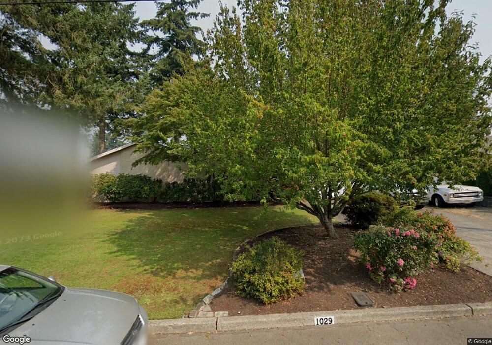
1029 Broadview Dr Fircrest, WA 98466
Estimated Value: $704,190 - $762,000
3
Beds
3
Baths
2,202
Sq Ft
$337/Sq Ft
Est. Value
About This Home
This home is located at 1029 Broadview Dr, Fircrest, WA 98466 and is currently estimated at $742,298, approximately $337 per square foot. 1029 Broadview Dr is a home located in Pierce County with nearby schools including Whittier Elementary School, Wainwright Intermediate School, and Foss High School.
Ownership History
Date
Name
Owned For
Owner Type
Purchase Details
Closed on
Jun 12, 1995
Sold by
Corrington James Stanley and Corrington Beverly Jean
Bought by
Burns David G and Burns Bridget M
Current Estimated Value
Home Financials for this Owner
Home Financials are based on the most recent Mortgage that was taken out on this home.
Original Mortgage
$151,900
Interest Rate
8.37%
Create a Home Valuation Report for This Property
The Home Valuation Report is an in-depth analysis detailing your home's value as well as a comparison with similar homes in the area
Home Values in the Area
Average Home Value in this Area
Purchase History
| Date | Buyer | Sale Price | Title Company |
|---|---|---|---|
| Burns David G | $186,027 | Chicago Title Insurance Co |
Source: Public Records
Mortgage History
| Date | Status | Borrower | Loan Amount |
|---|---|---|---|
| Closed | Burns David G | $151,900 |
Source: Public Records
Tax History Compared to Growth
Tax History
| Year | Tax Paid | Tax Assessment Tax Assessment Total Assessment is a certain percentage of the fair market value that is determined by local assessors to be the total taxable value of land and additions on the property. | Land | Improvement |
|---|---|---|---|---|
| 2025 | $6,304 | $661,400 | $308,600 | $352,800 |
| 2024 | $6,304 | $652,000 | $290,400 | $361,600 |
| 2023 | $6,304 | $661,200 | $299,300 | $361,900 |
| 2022 | $5,799 | $659,800 | $307,800 | $352,000 |
| 2021 | $5,544 | $477,500 | $206,100 | $271,400 |
| 2019 | $4,650 | $443,100 | $176,500 | $266,600 |
| 2018 | $5,143 | $432,000 | $157,600 | $274,400 |
| 2017 | $4,684 | $387,100 | $127,900 | $259,200 |
| 2016 | $4,399 | $312,100 | $92,900 | $219,200 |
| 2014 | $4,040 | $297,700 | $89,200 | $208,500 |
| 2013 | $4,040 | $264,200 | $80,300 | $183,900 |
Source: Public Records
Map
Nearby Homes
- 6320 Gregory St W
- 1203 Contra Costa Ave
- 1322 W Mount Dr
- 3619 67th Ave W
- 3529 67th Ave W
- 1340 Coral Dr
- 1310 Boise St Unit 2
- 1327 1333 Contra Costa Ave
- 1324 Boise St
- 1450 Alameda Ave Unit 1
- 3827 67th Avenue Ct W
- 4003 Flora Dr
- 4211 Shoshone St W
- 106 Holly Ct
- 4311 67th Ave W Unit B
- 1407 Cherry Ave
- 142 Spruce St
- 445 Buena Vista Ave
- 6423 47th Street Ct W
- 4641 67th Avenue Ct W Unit 4643
- 1031 Broadview Dr
- 1025 Broadview Dr
- 1014 Crestwood Ln
- 1016 Crestwood Ln
- 1012 Crestwood Ln
- 1030 Broadview Dr
- 1017 Corona Dr
- 1032 Broadview Dr
- 1021 Broadview Dr
- 1028 Broadview Dr
- 1013 Corona Dr
- 1034 Broadview Dr
- 1026 Broadview Dr
- 1008 Crestwood Ln
- 1037 Broadview Dr
- 1036 Broadview Dr
- 1037 Sunrise Ln
- 1009 Corona Dr
- 1041 Sunrise Ln
- 1033 Sunrise Ln