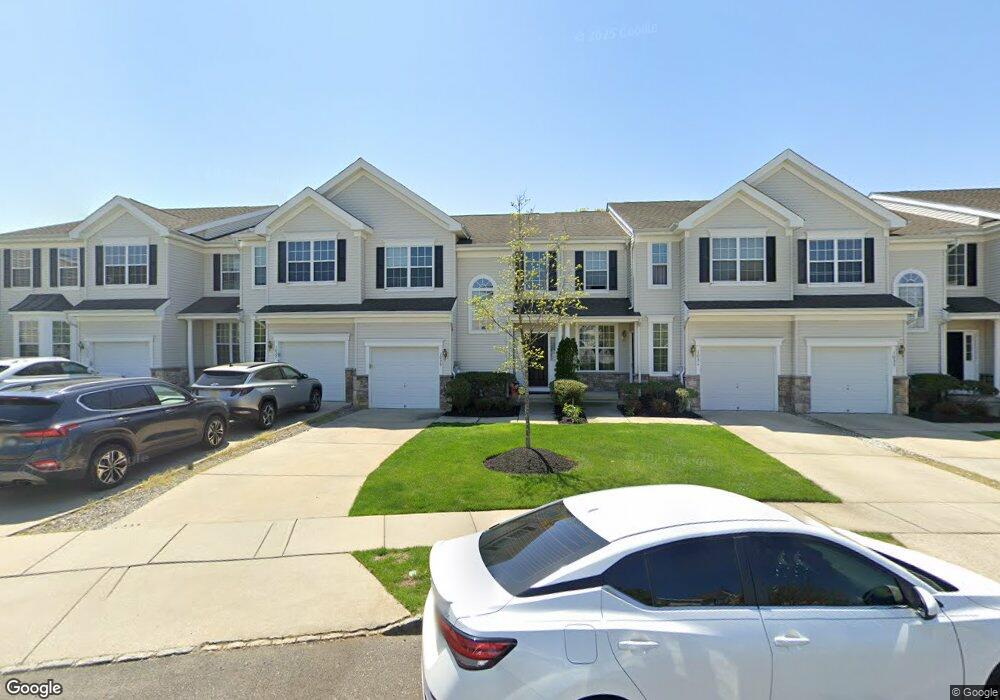
1029 Buckingham Dr Unit 15 West Deptford, NJ 08086
West Deptford Township NeighborhoodEstimated Value: $322,678 - $394,000
--
Bed
--
Bath
1,839
Sq Ft
$194/Sq Ft
Est. Value
About This Home
This home is located at 1029 Buckingham Dr Unit 15, West Deptford, NJ 08086 and is currently estimated at $357,170, approximately $194 per square foot. 1029 Buckingham Dr Unit 15 is a home located in Gloucester County with nearby schools including Green-Fields Elementary School, Oakview Elementary School, and Red Bank Elementary School.
Ownership History
Date
Name
Owned For
Owner Type
Purchase Details
Closed on
Apr 25, 2007
Sold by
D R Horton Inc
Bought by
Degraff Rebecca
Current Estimated Value
Home Financials for this Owner
Home Financials are based on the most recent Mortgage that was taken out on this home.
Original Mortgage
$235,674
Outstanding Balance
$143,121
Interest Rate
6.23%
Mortgage Type
Purchase Money Mortgage
Estimated Equity
$214,049
Create a Home Valuation Report for This Property
The Home Valuation Report is an in-depth analysis detailing your home's value as well as a comparison with similar homes in the area
Home Values in the Area
Average Home Value in this Area
Purchase History
| Date | Buyer | Sale Price | Title Company |
|---|---|---|---|
| Degraff Rebecca | $261,860 | Grande Title Agency Llc |
Source: Public Records
Mortgage History
| Date | Status | Borrower | Loan Amount |
|---|---|---|---|
| Open | Degraff Rebecca | $235,674 |
Source: Public Records
Tax History Compared to Growth
Tax History
| Year | Tax Paid | Tax Assessment Tax Assessment Total Assessment is a certain percentage of the fair market value that is determined by local assessors to be the total taxable value of land and additions on the property. | Land | Improvement |
|---|---|---|---|---|
| 2025 | $7,166 | $205,200 | $40,000 | $165,200 |
| 2024 | $7,073 | $205,200 | $40,000 | $165,200 |
| 2023 | $7,073 | $205,200 | $40,000 | $165,200 |
| 2022 | $7,040 | $205,200 | $40,000 | $165,200 |
| 2021 | $7,016 | $205,200 | $40,000 | $165,200 |
| 2020 | $6,999 | $205,200 | $40,000 | $165,200 |
| 2019 | $6,804 | $205,200 | $40,000 | $165,200 |
| 2018 | $6,620 | $205,200 | $40,000 | $165,200 |
| 2017 | $6,466 | $205,200 | $40,000 | $165,200 |
| 2016 | $6,285 | $205,200 | $40,000 | $165,200 |
| 2015 | $5,988 | $205,200 | $40,000 | $165,200 |
| 2014 | $5,690 | $205,200 | $40,000 | $165,200 |
Source: Public Records
Map
Nearby Homes
- 1066 Buckingham Dr
- 1012 Moore Rd Unit 6
- 1091 Buckingham Dr Unit 45
- 12 Highbridge Ln Unit I2
- 125 Lionheart Ln Unit C125
- 87 Woodway Dr Unit 87
- 640 Worcester Dr
- 94 Aviary Rd
- 863 Doncaster Dr
- 14 Aviary Rd
- 1220 Royal Ln
- 90 Ginger Dr
- 1054 Kings Hwy
- 1102 Barnesdale Rd
- 296 Ogden Station Rd
- 10 Meadow Ln
- 740 Carter Hill Dr
- 51 Holly Dr
- 1311 Barnesdale Rd
- 15 Ash Ave
- 1027 Buckingham Dr Unit 14
- 1031 Buckingham Dr
- 1025 Buckingham Dr Unit 13
- 1033 Buckingham Dr
- 1035 Buckingham Dr Unit 18
- 1023 Buckingham Dr Unit 12
- 1021 Buckingham Dr
- 1019 Buckingham Dr
- 1019 Buckingham Dr Unit 10
- 1017 Buckingham Dr
- 981 Kings Hwy
- 1036 Buckingham Dr
- 1015 Buckingham Dr
- 1010 Buckingham Dr Unit 25
- 1012 Buckingham Dr
- 1039 Buckingham Dr
- 1038 Buckingham Dr
- 1013 Buckingham Dr
- 1041 Buckingham Dr
- 1008 Buckingham Dr Unit 24