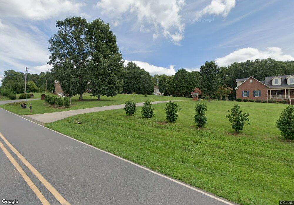
1029 Charleston Dr Morganton, NC 28655
Estimated Value: $293,358 - $421,000
3
Beds
2
Baths
1,459
Sq Ft
$232/Sq Ft
Est. Value
About This Home
This home is located at 1029 Charleston Dr, Morganton, NC 28655 and is currently estimated at $339,090, approximately $232 per square foot. 1029 Charleston Dr is a home located in Burke County with nearby schools including Oak Hill Elementary School, Walter R. Johnson Middle School, and Freedom High School.
Ownership History
Date
Name
Owned For
Owner Type
Purchase Details
Closed on
Jan 31, 2005
Sold by
Hoyle William C and Hoyleh Donna Lynne
Bought by
Burrell Michael E and Burrell Claire Michelle B
Current Estimated Value
Home Financials for this Owner
Home Financials are based on the most recent Mortgage that was taken out on this home.
Original Mortgage
$135,792
Outstanding Balance
$68,430
Interest Rate
5.62%
Mortgage Type
Purchase Money Mortgage
Estimated Equity
$270,660
Create a Home Valuation Report for This Property
The Home Valuation Report is an in-depth analysis detailing your home's value as well as a comparison with similar homes in the area
Home Values in the Area
Average Home Value in this Area
Purchase History
| Date | Buyer | Sale Price | Title Company |
|---|---|---|---|
| Burrell Michael E | $150,000 | None Available |
Source: Public Records
Mortgage History
| Date | Status | Borrower | Loan Amount |
|---|---|---|---|
| Open | Burrell Michael E | $135,792 |
Source: Public Records
Tax History Compared to Growth
Tax History
| Year | Tax Paid | Tax Assessment Tax Assessment Total Assessment is a certain percentage of the fair market value that is determined by local assessors to be the total taxable value of land and additions on the property. | Land | Improvement |
|---|---|---|---|---|
| 2025 | $1,426 | $210,095 | $21,235 | $188,860 |
| 2024 | $1,433 | $210,095 | $21,235 | $188,860 |
| 2023 | $1,433 | $210,095 | $21,235 | $188,860 |
| 2022 | $1,358 | $162,495 | $21,235 | $141,260 |
| 2021 | $1,352 | $162,495 | $21,235 | $141,260 |
| 2020 | $1,348 | $162,495 | $21,235 | $141,260 |
| 2019 | $1,348 | $162,495 | $21,235 | $141,260 |
| 2018 | $1,310 | $157,758 | $21,235 | $136,523 |
| 2017 | $1,308 | $157,758 | $21,235 | $136,523 |
| 2016 | $1,280 | $157,758 | $21,235 | $136,523 |
| 2015 | $1,277 | $157,758 | $21,235 | $136,523 |
| 2014 | $1,275 | $157,758 | $21,235 | $136,523 |
| 2013 | $1,260 | $157,758 | $21,235 | $136,523 |
Source: Public Records
Map
Nearby Homes
- 0 Little John Dr Unit CAR3906836
- 1739 Plantation Loop
- 1710 Plantation Loop
- 1847 Ford Ln Unit 17
- 2423 Warrior Fork Trail
- 211 Shuffler Rd
- 1364 Oak Hill Dr
- 0 School House Ct
- 0 Oak Forest Dr
- 307 Maplewood Dr
- 1245 Harrison Loop
- 204 Vfw Rd
- 428 Bost Rd
- 2576 Henderson Mill Rd
- 958 Nc 18 Us 64 None
- 420 Bost Rd
- 2616 Carl Freeman Ave Unit 20
- 2616 Carl Freeman Ave Unit 3
- 2777 Pax Hill Rd
- 104 Belvedere Dr
- 1009 Charleston Dr
- 1762 Bost Rd
- 1786 Bost Rd
- 1079 Charleston Dr
- 1746 Bost Rd
- 1086 Charleston Dr
- 1089 Charleston Dr
- 1826 Bost Rd
- 1720 Bost Rd
- 1050 Charleston Dr
- 1104 Charleston Dr
- 1708 Bost Rd
- 1140 Charleston Dr
- 1464 Robinhood Dr
- 1442 Robinhood Dr
- 1480 Robinhood Dr
- 1500 Robinhood Dr
- 1432 Robinhood Dr
- 1520 Robinhood Dr
- 2397 Piedmont Rd
