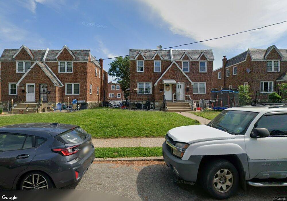
1029 Disston St Philadelphia, PA 19111
Castor Gardens NeighborhoodEstimated Value: $291,922 - $304,000
3
Beds
1
Bath
1,188
Sq Ft
$249/Sq Ft
Est. Value
About This Home
This home is located at 1029 Disston St, Philadelphia, PA 19111 and is currently estimated at $295,981, approximately $249 per square foot. 1029 Disston St is a home with nearby schools including J. Hampton Moore School, Castor Gardens Middle School, and Northeast High School.
Ownership History
Date
Name
Owned For
Owner Type
Purchase Details
Closed on
Jul 30, 2003
Sold by
Zuckerman Barry P and Zuckerman Beverly H
Bought by
Levy Michael S
Current Estimated Value
Home Financials for this Owner
Home Financials are based on the most recent Mortgage that was taken out on this home.
Original Mortgage
$101,753
Outstanding Balance
$46,110
Interest Rate
6.02%
Mortgage Type
Purchase Money Mortgage
Estimated Equity
$249,871
Create a Home Valuation Report for This Property
The Home Valuation Report is an in-depth analysis detailing your home's value as well as a comparison with similar homes in the area
Home Values in the Area
Average Home Value in this Area
Purchase History
| Date | Buyer | Sale Price | Title Company |
|---|---|---|---|
| Levy Michael S | $104,900 | Lawyers Title Insurance Co |
Source: Public Records
Mortgage History
| Date | Status | Borrower | Loan Amount |
|---|---|---|---|
| Open | Levy Michael S | $101,753 |
Source: Public Records
Tax History Compared to Growth
Tax History
| Year | Tax Paid | Tax Assessment Tax Assessment Total Assessment is a certain percentage of the fair market value that is determined by local assessors to be the total taxable value of land and additions on the property. | Land | Improvement |
|---|---|---|---|---|
| 2025 | $2,863 | $246,400 | $49,280 | $197,120 |
| 2024 | $2,863 | $246,400 | $49,280 | $197,120 |
| 2023 | $2,863 | $204,500 | $40,900 | $163,600 |
| 2022 | $1,467 | $159,500 | $40,900 | $118,600 |
| 2021 | $2,097 | $0 | $0 | $0 |
| 2020 | $2,097 | $0 | $0 | $0 |
| 2019 | $2,012 | $0 | $0 | $0 |
| 2018 | $1,946 | $0 | $0 | $0 |
| 2017 | $1,946 | $0 | $0 | $0 |
| 2016 | $1,526 | $0 | $0 | $0 |
| 2015 | $1,461 | $0 | $0 | $0 |
| 2014 | -- | $139,000 | $39,065 | $99,935 |
| 2012 | -- | $18,976 | $3,356 | $15,620 |
Source: Public Records
Map
Nearby Homes
- 1019 Disston St
- 1055 Tyson Ave
- 1114 Brighton St
- 1202 Disston St
- 829 Disston St
- 1133 Knorr St
- 1116 Friendship St
- 6839 Summerdale Ave
- 1012 Saint Vincent St
- 832 Knorr St
- 1117 Unruh Ave
- 1024 Unruh Ave
- 1216 Knorr St
- 811 Knorr St
- 1116 Unruh Ave
- 1103 Fanshawe St
- 1238 Glenview St
- 1305 Glenview St
- 1300 Glenview St
- 1131 Fanshawe St