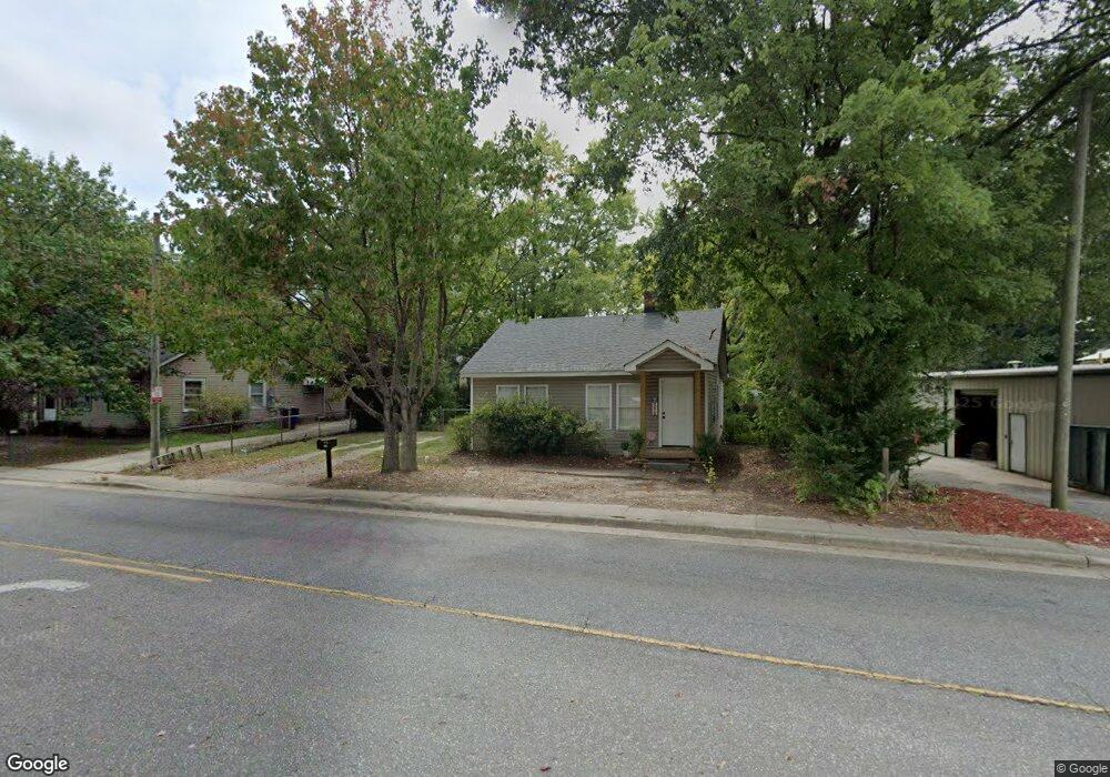
1029 Gaston Ave Gastonia, NC 28052
Estimated Value: $110,000 - $172,000
2
Beds
1
Bath
899
Sq Ft
$156/Sq Ft
Est. Value
About This Home
This home is located at 1029 Gaston Ave, Gastonia, NC 28052 and is currently estimated at $140,531, approximately $156 per square foot. 1029 Gaston Ave is a home located in Gaston County with nearby schools including Bessemer City Primary School, York Chester Middle School, and Hunter Huss High School.
Ownership History
Date
Name
Owned For
Owner Type
Purchase Details
Closed on
Jun 26, 2015
Sold by
Taylor Jonathan James and Mozeik Carrie
Bought by
Walters Michael Christopher and Walters Kimberly A
Current Estimated Value
Purchase Details
Closed on
Oct 31, 2002
Sold by
Bailey John A and Bailey Alison Y
Bought by
Taylor Jonathan J
Home Financials for this Owner
Home Financials are based on the most recent Mortgage that was taken out on this home.
Original Mortgage
$60,500
Interest Rate
6.01%
Purchase Details
Closed on
Apr 24, 2002
Sold by
Kerr Carroll A and Kerr Cathy H
Bought by
Bailey John A
Home Financials for this Owner
Home Financials are based on the most recent Mortgage that was taken out on this home.
Original Mortgage
$45,500
Interest Rate
7.07%
Create a Home Valuation Report for This Property
The Home Valuation Report is an in-depth analysis detailing your home's value as well as a comparison with similar homes in the area
Home Values in the Area
Average Home Value in this Area
Purchase History
| Date | Buyer | Sale Price | Title Company |
|---|---|---|---|
| Walters Michael Christopher | $20,000 | Attorney | |
| Taylor Jonathan J | $60,000 | -- | |
| Bailey John A | $30,000 | -- |
Source: Public Records
Mortgage History
| Date | Status | Borrower | Loan Amount |
|---|---|---|---|
| Previous Owner | Taylor Jonathan J | $60,500 | |
| Previous Owner | Bailey John A | $45,500 |
Source: Public Records
Tax History Compared to Growth
Tax History
| Year | Tax Paid | Tax Assessment Tax Assessment Total Assessment is a certain percentage of the fair market value that is determined by local assessors to be the total taxable value of land and additions on the property. | Land | Improvement |
|---|---|---|---|---|
| 2025 | $1,076 | $101,340 | $7,840 | $93,500 |
| 2024 | $1,076 | $100,670 | $7,840 | $92,830 |
| 2023 | $1,087 | $100,670 | $7,840 | $92,830 |
| 2022 | $541 | $40,710 | $7,840 | $32,870 |
| 2021 | $550 | $40,710 | $7,840 | $32,870 |
| 2019 | $554 | $40,710 | $7,840 | $32,870 |
| 2018 | $520 | $37,178 | $7,841 | $29,337 |
| 2017 | $520 | $37,178 | $7,841 | $29,337 |
| 2016 | $520 | $37,178 | $0 | $0 |
| 2014 | -- | $41,611 | $15,682 | $25,929 |
Source: Public Records
Map
Nearby Homes
- 209 S Ransom St
- 208 S Ransom St
- 1002 W 2nd Ave
- 215 S King St
- 307 S Ransom St
- 907 W Mauney Ave
- 309 S Ransom St
- 406 N Boyd St
- 0 Linwood Rd
- 217 S Highland St
- 809 W Mauney Ave
- 412 N Scruggs St
- 1205 W Mauney Ave
- 318 S Liberty St
- 1406 W Walnut Ave
- 913 W 3rd Ave
- 1426 Beechwood Dr
- 322 S Hill St
- 309 Riley Ct
- 1112 W 5th Ave
- 1025 Gaston Ave
- 1032 W Airline Ave
- 1030 W Airline Ave
- 1034 W Airline Ave
- 1012 Gaston Ave
- 204 N Firestone St
- 206 N Firestone St
- 1036 Gaston Ave
- 1027 Little Ave Unit B
- 1027 Little Ave Unit C
- 1027 Little Ave Unit D
- 1027 Little Ave
- 0 Firestone St Unit 2111758
- 1031 Little Ave
- 1101 Gaston Ave
- 0 W Airline Ave
- 104 N Dalton St
- 1104 W Airline Ave
- 1030 Little Ave
- 1008 Gaston Ave