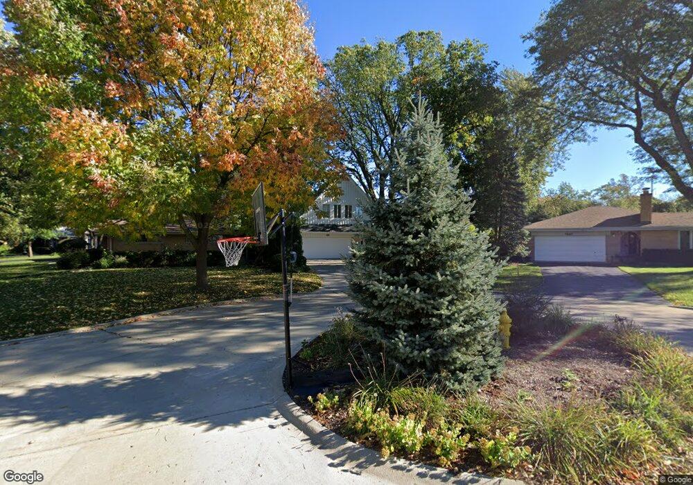
1029 Hunter Rd Glenview, IL 60025
Estimated Value: $1,035,111 - $1,332,000
5
Beds
3
Baths
3,208
Sq Ft
$354/Sq Ft
Est. Value
About This Home
This home is located at 1029 Hunter Rd, Glenview, IL 60025 and is currently estimated at $1,135,528, approximately $353 per square foot. 1029 Hunter Rd is a home located in Cook County with nearby schools including Marie Murphy School, Avoca West Elementary School, and New Trier Township High School - Northfield.
Ownership History
Date
Name
Owned For
Owner Type
Purchase Details
Closed on
Oct 11, 1997
Sold by
Carlson Arthur B and Carlson Nancy M
Bought by
Bradshaw John and Bradshaw Theodore Irene
Current Estimated Value
Home Financials for this Owner
Home Financials are based on the most recent Mortgage that was taken out on this home.
Original Mortgage
$300,000
Interest Rate
7.43%
Create a Home Valuation Report for This Property
The Home Valuation Report is an in-depth analysis detailing your home's value as well as a comparison with similar homes in the area
Home Values in the Area
Average Home Value in this Area
Purchase History
| Date | Buyer | Sale Price | Title Company |
|---|---|---|---|
| Bradshaw John | $445,000 | Attorneys Natl Title Network |
Source: Public Records
Mortgage History
| Date | Status | Borrower | Loan Amount |
|---|---|---|---|
| Closed | Bradshaw John | $300,000 |
Source: Public Records
Tax History
| Year | Tax Paid | Tax Assessment Tax Assessment Total Assessment is a certain percentage of the fair market value that is determined by local assessors to be the total taxable value of land and additions on the property. | Land | Improvement |
|---|---|---|---|---|
| 2025 | $15,143 | $112,000 | $23,046 | $88,954 |
| 2024 | $15,143 | $72,417 | $23,046 | $49,371 |
| 2023 | $15,411 | $72,417 | $23,046 | $49,371 |
| 2022 | $15,411 | $76,845 | $23,046 | $53,799 |
| 2021 | $20,876 | $89,289 | $16,564 | $72,725 |
| 2020 | $20,405 | $89,289 | $16,564 | $72,725 |
| 2019 | $19,938 | $98,120 | $16,564 | $81,556 |
| 2018 | $14,248 | $67,038 | $13,683 | $53,355 |
| 2017 | $13,848 | $67,038 | $13,683 | $53,355 |
| 2016 | $13,269 | $67,038 | $13,683 | $53,355 |
| 2015 | $12,549 | $57,381 | $11,163 | $46,218 |
| 2014 | $12,297 | $57,381 | $11,163 | $46,218 |
| 2013 | $11,749 | $57,381 | $11,163 | $46,218 |
Source: Public Records
Map
Nearby Homes
- 808 Indian Rd
- 718 Lawler Ave
- 408 Lavergne Ave
- 623 Echo Ln
- 639 Harms Rd
- 700 Lamon Ave
- 3031 Indianwood Rd
- 846 Wagner Rd
- 3226 Sprucewood Rd
- 2931 Greenleaf Ave
- 10059 Frontage Rd Unit F
- 33 Longmeadow Rd
- 2938 Indianwood Rd
- 201 Valley View Dr
- 711 Becker Rd
- 809 Lenox Rd
- 1431 Meadow Ln
- 9725 Woods Dr Unit 305
- 9725 Woods Dr Unit 1913
- 9725 Woods Dr Unit 309
Your Personal Tour Guide
Ask me questions while you tour the home.