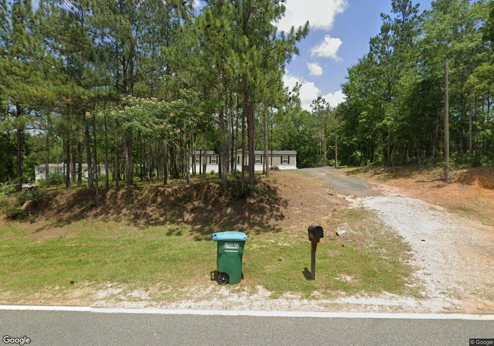
1029 Joe Adams Rd Quincy, FL 32351
Estimated Value: $143,000 - $409,000
3
Beds
2
Baths
2,128
Sq Ft
$125/Sq Ft
Est. Value
About This Home
This home is located at 1029 Joe Adams Rd, Quincy, FL 32351 and is currently estimated at $264,940, approximately $124 per square foot. 1029 Joe Adams Rd is a home with nearby schools including Crossroad Academy.
Ownership History
Date
Name
Owned For
Owner Type
Purchase Details
Closed on
Oct 29, 2020
Sold by
Box Randy E
Bought by
Woods Viella Lewis
Current Estimated Value
Home Financials for this Owner
Home Financials are based on the most recent Mortgage that was taken out on this home.
Original Mortgage
$133,424
Outstanding Balance
$112,143
Interest Rate
2.9%
Mortgage Type
New Conventional
Estimated Equity
$152,797
Purchase Details
Closed on
Feb 3, 2020
Sold by
Ebcf Llc
Bought by
Box Randy E
Home Financials for this Owner
Home Financials are based on the most recent Mortgage that was taken out on this home.
Original Mortgage
$33,000
Interest Rate
3.6%
Mortgage Type
Commercial
Create a Home Valuation Report for This Property
The Home Valuation Report is an in-depth analysis detailing your home's value as well as a comparison with similar homes in the area
Home Values in the Area
Average Home Value in this Area
Purchase History
| Date | Buyer | Sale Price | Title Company |
|---|---|---|---|
| Woods Viella Lewis | $29,500 | Advantage Title Services Inc | |
| Box Randy E | $37,000 | Attorney |
Source: Public Records
Mortgage History
| Date | Status | Borrower | Loan Amount |
|---|---|---|---|
| Open | Woods Viella Lewis | $133,424 | |
| Previous Owner | Box Randy E | $33,000 |
Source: Public Records
Tax History Compared to Growth
Tax History
| Year | Tax Paid | Tax Assessment Tax Assessment Total Assessment is a certain percentage of the fair market value that is determined by local assessors to be the total taxable value of land and additions on the property. | Land | Improvement |
|---|---|---|---|---|
| 2024 | $1,648 | $114,384 | $8,625 | $105,759 |
| 2023 | $1,621 | $111,912 | $8,625 | $103,287 |
| 2022 | $1,574 | $108,295 | $5,750 | $102,545 |
| 2021 | $1,633 | $109,592 | $5,750 | $103,842 |
| 2020 | $56 | $3,795 | $3,795 | $0 |
| 2019 | $58 | $3,795 | $3,795 | $0 |
| 2018 | $58 | $3,795 | $0 | $0 |
Source: Public Records
Map
Nearby Homes
- XX Pat Thomas Pkwy
- TBD Pat Thomas Pkwy
- XXXX Strong Rd
- 762 Strong Rd
- 944 Strong Rd
- 0 Cooper Blvd Unit LotWP001 24911800
- 0 Cooper Blvd Unit 779416
- 799 S Pat Thomas Pkwy
- xxx Cleveland St
- 1204 Canal St
- 000 Circle Dr
- 1127 Hill St
- 332 S Shadow St
- 00 Blue Star Hwy
- 1165 Selman Rd
- 3-12-2N-4W-1100-0000 Station St
- 531 Williams St
- 244 Shiloh Rd
- 1738 Martin Luther King Blvd
- 210 Marshall St
- 981 Joe Adams Rd
- 1042 Joe Adams Rd
- 1026 Joe Adams Rd
- 1012 Joe Adams Rd
- 1054 Joe Adams Rd
- 1096 Joe Adams Rd
- 330 Ray Rd
- 0 Joe Adams Rd Unit 222024336
- 0 Joe Adams Rd
- 47 Betsey Ln
- 1000 Joe Adams Rd
- 988 Joe Adams Rd
- 912 Joe Adams Rd
- 1176 Joe Adams Rd
- 898 Joe Adams Rd
- 926 Joe Adams Rd
- 232 Ray Rd
- 1195 Joe Adams Rd Unit QU
- 60 Harper Ln
- 315 Ray Rd