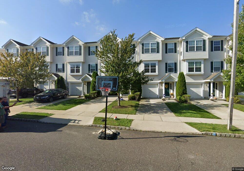
1029 Moore Rd West Deptford, NJ 08086
West Deptford Township NeighborhoodEstimated Value: $342,000 - $397,000
3
Beds
3
Baths
2,342
Sq Ft
$161/Sq Ft
Est. Value
About This Home
This home is located at 1029 Moore Rd, West Deptford, NJ 08086 and is currently estimated at $377,592, approximately $161 per square foot. 1029 Moore Rd is a home located in Gloucester County with nearby schools including Green-Fields Elementary School, Oakview Elementary School, and Red Bank Elementary School.
Ownership History
Date
Name
Owned For
Owner Type
Purchase Details
Closed on
Dec 3, 2018
Sold by
Blossom Sarah A
Bought by
Sandau Frank
Current Estimated Value
Purchase Details
Closed on
Mar 25, 2006
Sold by
Inc-Nj D R Horton
Bought by
Sandau Frank W and Sandau Sarah A
Home Financials for this Owner
Home Financials are based on the most recent Mortgage that was taken out on this home.
Original Mortgage
$214,200
Interest Rate
6.26%
Mortgage Type
Purchase Money Mortgage
Create a Home Valuation Report for This Property
The Home Valuation Report is an in-depth analysis detailing your home's value as well as a comparison with similar homes in the area
Home Values in the Area
Average Home Value in this Area
Purchase History
| Date | Buyer | Sale Price | Title Company |
|---|---|---|---|
| Sandau Frank | -- | -- | |
| Sandau Frank W | $238,000 | -- |
Source: Public Records
Mortgage History
| Date | Status | Borrower | Loan Amount |
|---|---|---|---|
| Previous Owner | Sandau Frank W | $214,200 |
Source: Public Records
Tax History Compared to Growth
Tax History
| Year | Tax Paid | Tax Assessment Tax Assessment Total Assessment is a certain percentage of the fair market value that is determined by local assessors to be the total taxable value of land and additions on the property. | Land | Improvement |
|---|---|---|---|---|
| 2025 | $7,124 | $204,000 | $40,000 | $164,000 |
| 2024 | $7,032 | $204,000 | $40,000 | $164,000 |
| 2023 | $7,032 | $204,000 | $40,000 | $164,000 |
| 2022 | $6,999 | $204,000 | $40,000 | $164,000 |
| 2021 | $6,975 | $204,000 | $40,000 | $164,000 |
| 2020 | $6,958 | $204,000 | $40,000 | $164,000 |
| 2019 | $6,765 | $204,000 | $40,000 | $164,000 |
| 2018 | $6,581 | $204,000 | $40,000 | $164,000 |
| 2017 | $6,428 | $204,000 | $40,000 | $164,000 |
| 2016 | $6,249 | $204,000 | $40,000 | $164,000 |
| 2015 | $5,953 | $204,000 | $40,000 | $164,000 |
| 2014 | $5,657 | $204,000 | $40,000 | $164,000 |
Source: Public Records
Map
Nearby Homes
- 1066 Buckingham Dr
- 1012 Moore Rd Unit 6
- 1091 Buckingham Dr Unit 45
- 12 Highbridge Ln Unit I2
- 125 Lionheart Ln Unit C125
- 87 Woodway Dr Unit 87
- 640 Worcester Dr
- 863 Doncaster Dr
- 1220 Royal Ln
- 94 Aviary Rd
- 14 Aviary Rd
- 1102 Barnesdale Rd
- 1054 Kings Hwy
- 90 Ginger Dr
- 740 Carter Hill Dr
- 296 Ogden Station Rd
- 10 Meadow Ln
- 51 Holly Dr
- 1311 Barnesdale Rd
- 4 Saint Emilion Ct
- 1031 Moore Rd Unit 4
- 1033 Moore Rd
- 1037 Moore Rd
- 1035 Moore Rd
- 1018 Moore Rd Unit 9
- 1025 Moore Rd
- 1022 Moore Rd
- 1074 Buckingham Dr
- 1072 Buckingham Dr
- 1076 Buckingham Dr
- 1070 Buckingham Dr Unit 45
- 1078 Buckingham Dr
- 1068 Buckingham Dr Unit 44
- 1026 Moore Rd
- 1082 Buckingham Dr
- 1080 Buckingham Dr
- 1021 Moore Rd
- 1019 Moore Rd Unit 10
- 1030 Moore Rd
- 1032 Moore Rd