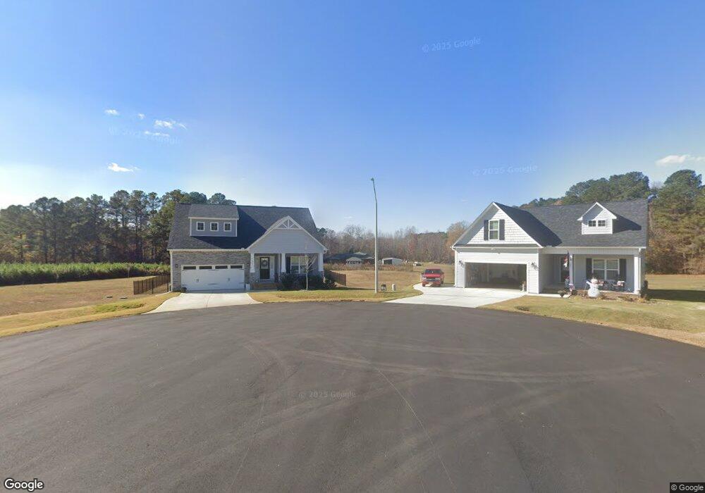
1029 Mudham Rd Wendell, NC 27591
Estimated Value: $480,000 - $620,000
3
Beds
2
Baths
2,320
Sq Ft
$237/Sq Ft
Est. Value
About This Home
This home is located at 1029 Mudham Rd, Wendell, NC 27591 and is currently estimated at $550,000, approximately $237 per square foot. 1029 Mudham Rd is a home located in Johnston County with nearby schools including Corinth Holders Elementary School, Archer Lodge Middle School, and Corinth Holders High School.
Ownership History
Date
Name
Owned For
Owner Type
Purchase Details
Closed on
Aug 31, 2006
Sold by
Fuller William Ray and Fuller Cheryl
Bought by
Fuller Rose T and William Ray Fuller Jr Trust Ag
Current Estimated Value
Purchase Details
Closed on
Sep 23, 2005
Sold by
Covington Robert E and Covington Barbara B
Bought by
Fuller William Ray and Fuller Rose Thorne
Home Financials for this Owner
Home Financials are based on the most recent Mortgage that was taken out on this home.
Original Mortgage
$250,000
Interest Rate
5.66%
Mortgage Type
Purchase Money Mortgage
Create a Home Valuation Report for This Property
The Home Valuation Report is an in-depth analysis detailing your home's value as well as a comparison with similar homes in the area
Home Values in the Area
Average Home Value in this Area
Purchase History
| Date | Buyer | Sale Price | Title Company |
|---|---|---|---|
| Fuller Rose T | -- | None Available | |
| Fuller William Ray | -- | None Available | |
| Fuller William Ray | $295,000 | None Available |
Source: Public Records
Mortgage History
| Date | Status | Borrower | Loan Amount |
|---|---|---|---|
| Previous Owner | Fuller William Ray | $250,000 |
Source: Public Records
Tax History
| Year | Tax Paid | Tax Assessment Tax Assessment Total Assessment is a certain percentage of the fair market value that is determined by local assessors to be the total taxable value of land and additions on the property. | Land | Improvement |
|---|---|---|---|---|
| 2025 | $4,746 | $746,960 | $525,400 | $221,560 |
| 2024 | $2,479 | $305,580 | $136,150 | $169,430 |
| 2023 | $2,449 | $305,580 | $136,150 | $169,430 |
| 2022 | $2,571 | $305,580 | $136,150 | $169,430 |
| 2021 | $2,571 | $305,580 | $136,150 | $169,430 |
| 2020 | $2,632 | $305,580 | $136,150 | $169,430 |
| 2019 | $2,637 | $305,580 | $136,150 | $169,430 |
| 2018 | $2,869 | $326,050 | $137,180 | $188,870 |
| 2017 | $2,869 | $326,050 | $137,180 | $188,870 |
| 2016 | $2,869 | $326,050 | $137,180 | $188,870 |
| 2015 | $2,869 | $326,050 | $137,180 | $188,870 |
| 2014 | $2,869 | $326,050 | $137,180 | $188,870 |
Source: Public Records
Map
Nearby Homes
- 272 Andrews Landing Dr
- 242 Andrews Landing Dr
- 1043 Mudham Rd
- 1051 Mudham Rd
- 208 Andrews Landing Dr
- 1115 Mudham Rd
- 1127 Mudham Rd
- 172 Andrews Landing Dr
- 1079 Mudham Rd
- 163 Andrews Landing Dr
- 209 Andrews Landing Dr
- 933 Mudham Rd
- 1157 Mudham Rd
- 1167 Mudham Rd
- 1143 Mudham Rd
- 1106 Mudham Rd
- 1189 Mudham Rd
- 960 Mudham Rd
- 1128 Mudham Rd
- 56.41 Acres Mudham Rd
Your Personal Tour Guide
Ask me questions while you tour the home.