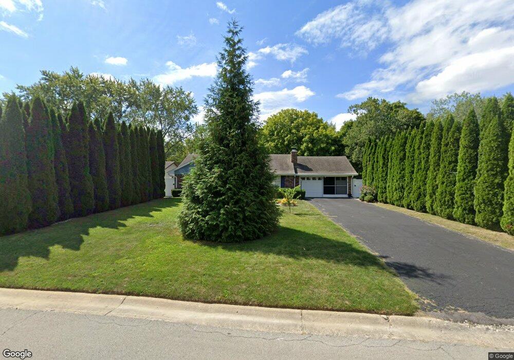
1029 Nantucket Dr Cicero, IN 46034
Estimated Value: $260,000 - $306,246
3
Beds
2
Baths
1,090
Sq Ft
$263/Sq Ft
Est. Value
About This Home
This home is located at 1029 Nantucket Dr, Cicero, IN 46034 and is currently estimated at $287,062, approximately $263 per square foot. 1029 Nantucket Dr is a home located in Hamilton County with nearby schools including Hamilton Heights Primary School, Hamilton Heights Elementary School, and Hamilton Heights Middle School.
Ownership History
Date
Name
Owned For
Owner Type
Purchase Details
Closed on
May 27, 2005
Sold by
Murphy Michael P and Murphy Susan J
Bought by
Joyce Christina M
Current Estimated Value
Home Financials for this Owner
Home Financials are based on the most recent Mortgage that was taken out on this home.
Original Mortgage
$122,865
Outstanding Balance
$64,761
Interest Rate
5.91%
Mortgage Type
FHA
Estimated Equity
$222,301
Purchase Details
Closed on
Jun 13, 2001
Sold by
Story Jason C
Bought by
Murphy Michael P and Murphy Susan J
Home Financials for this Owner
Home Financials are based on the most recent Mortgage that was taken out on this home.
Original Mortgage
$81,000
Interest Rate
7.16%
Create a Home Valuation Report for This Property
The Home Valuation Report is an in-depth analysis detailing your home's value as well as a comparison with similar homes in the area
Home Values in the Area
Average Home Value in this Area
Purchase History
| Date | Buyer | Sale Price | Title Company |
|---|---|---|---|
| Joyce Christina M | -- | Pinnacle Land Title Co Inc | |
| Murphy Michael P | -- | Pinnacle Land Title Co Inc |
Source: Public Records
Mortgage History
| Date | Status | Borrower | Loan Amount |
|---|---|---|---|
| Open | Joyce Christina M | $122,865 | |
| Previous Owner | Murphy Michael P | $81,000 |
Source: Public Records
Tax History Compared to Growth
Tax History
| Year | Tax Paid | Tax Assessment Tax Assessment Total Assessment is a certain percentage of the fair market value that is determined by local assessors to be the total taxable value of land and additions on the property. | Land | Improvement |
|---|---|---|---|---|
| 2024 | $1,896 | $213,800 | $117,100 | $96,700 |
| 2023 | $1,896 | $213,200 | $117,100 | $96,100 |
| 2022 | $1,815 | $193,400 | $69,600 | $123,800 |
| 2021 | $1,504 | $165,100 | $69,600 | $95,500 |
| 2020 | $1,323 | $150,500 | $69,600 | $80,900 |
| 2019 | $966 | $122,200 | $30,400 | $91,800 |
| 2018 | $1,019 | $124,800 | $30,400 | $94,400 |
| 2017 | $858 | $112,500 | $30,400 | $82,100 |
| 2016 | $780 | $107,400 | $30,400 | $77,000 |
| 2014 | $701 | $100,100 | $32,700 | $67,400 |
| 2013 | $701 | $101,900 | $32,700 | $69,200 |
Source: Public Records
Map
Nearby Homes
- 949 Nantucket Dr
- 1940 Stringtown Pike
- 1209 Half Moon Ln
- 2029 Seven Peaks Dr
- 100 Confidential Dr
- 1180 Shoreline Cir
- 826 N Lanyard Dr
- 815 Morse Landing Dr
- 130 Overston Ct
- 1306 N Catamaran Cir
- 221 Common Loon Blvd
- 1055 Spinner Ct
- 73 Forest Hollow Dr
- 34 Hovden Dr
- 2390 Lincoln Dr
- 140 Wiley St
- 70 Armitage St
- 131 Batteese Dr
- 1367 Sherman Cir
- 14 Morse Ct
- 989 Nantucket Dr
- 1049 Nantucket Dr
- 969 Nantucket Dr
- 1069 Nantucket Dr
- 1020 Beacon Ln
- 1040 Beacon Ln
- 1089 Nantucket Dr
- 980 Beacon Ln
- 1129 Nantucket Dr
- 1020 Nantucket Dr
- 980 Nantucket Dr
- 929 Nantucket Dr
- 1040 Nantucket Dr
- 960 Beacon Ln
- 1549 Nantucket Dr
- 1529 Nantucket Dr
- 1060 Nantucket Dr
- 1569 Nantucket Dr
- 889 Nantucket Dr
- 960 Nantucket Dr