1029 Normandy Trace Rd Tampa, FL 33602
Harbour Island NeighborhoodEstimated Value: $441,951 - $528,000
2
Beds
2
Baths
1,183
Sq Ft
$398/Sq Ft
Est. Value
About This Home
This home is located at 1029 Normandy Trace Rd, Tampa, FL 33602 and is currently estimated at $470,738, approximately $397 per square foot. 1029 Normandy Trace Rd is a home located in Hillsborough County with nearby schools including Gorrie Elementary School, Wilson Middle School, and Plant High School.
Ownership History
Date
Name
Owned For
Owner Type
Purchase Details
Closed on
Dec 22, 2016
Sold by
Debartolo Nicole and Heldfond Nicole
Bought by
Clare Tian Keisha
Current Estimated Value
Home Financials for this Owner
Home Financials are based on the most recent Mortgage that was taken out on this home.
Original Mortgage
$228,000
Outstanding Balance
$184,570
Interest Rate
3.94%
Mortgage Type
New Conventional
Estimated Equity
$286,168
Purchase Details
Closed on
Jun 10, 2008
Sold by
Heldfond Benjamin and Heldfond Nicole Debartolo
Bought by
Debartolo Nicole and Heldfond Nicole
Purchase Details
Closed on
Mar 1, 2005
Sold by
Gimpl Florida Properties Llc
Bought by
Heldfon Ben and Heldfond Nicole Debartolo
Purchase Details
Closed on
Mar 12, 2002
Sold by
Harbour Place Dev Ltd
Bought by
Gimpl Mark and Gimpl Elizabeth
Create a Home Valuation Report for This Property
The Home Valuation Report is an in-depth analysis detailing your home's value as well as a comparison with similar homes in the area
Home Values in the Area
Average Home Value in this Area
Purchase History
| Date | Buyer | Sale Price | Title Company |
|---|---|---|---|
| Clare Tian Keisha | $285,000 | Bay To Bay Title Llc | |
| Debartolo Nicole | -- | Attorney | |
| Heldfon Ben | $248,500 | Enterprise Title Partners Of | |
| Gimpl Mark | -- | -- |
Source: Public Records
Mortgage History
| Date | Status | Borrower | Loan Amount |
|---|---|---|---|
| Open | Clare Tian Keisha | $228,000 |
Source: Public Records
Tax History
| Year | Tax Paid | Tax Assessment Tax Assessment Total Assessment is a certain percentage of the fair market value that is determined by local assessors to be the total taxable value of land and additions on the property. | Land | Improvement |
|---|---|---|---|---|
| 2025 | $4,382 | $280,951 | -- | -- |
| 2024 | $4,382 | $273,033 | -- | -- |
| 2023 | $4,264 | $265,081 | $0 | $0 |
| 2022 | $4,142 | $257,360 | $0 | $0 |
| 2021 | $4,086 | $249,864 | $0 | $0 |
| 2020 | $4,048 | $246,414 | $0 | $0 |
| 2019 | $3,976 | $240,874 | $0 | $0 |
| 2018 | $3,951 | $236,383 | $0 | $0 |
| 2017 | $3,971 | $231,521 | $0 | $0 |
| 2016 | $3,786 | $171,044 | $0 | $0 |
| 2015 | $3,179 | $155,495 | $0 | $0 |
| 2014 | $3,179 | $141,359 | $0 | $0 |
| 2013 | -- | $128,508 | $0 | $0 |
Source: Public Records
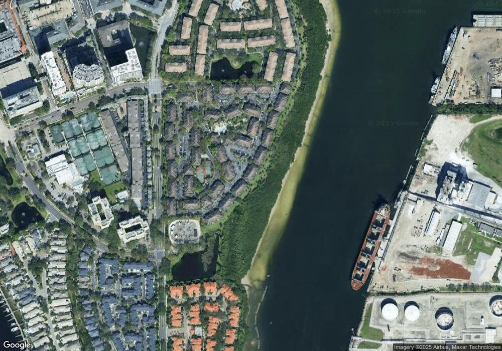
Map
Nearby Homes
- 1037 Normandy Trace Rd
- 601 Arbor Lake Ln
- 636 Arbor Lake Ln
- 1123 Shipwatch Cir
- 1000 S Harbour Island Blvd Unit 2306
- 602 Seabreeze Ct
- 1119 Shipwatch Cir
- 775 Mainsail Dr Unit 775
- 501 Knights Run Ave Unit 2119
- 501 Knights Run Ave Unit 2109
- 501 Knights Run Ave Unit 2106
- 501 Knights Run Ave Unit 1215
- 501 Knights Run Ave Unit 1117
- 501 Knights Run Ave Unit 4105
- 501 Knights Run Ave Unit 5101
- 501 Knights Run Ave Unit 2206
- 305 Inner Harbour Cir
- 328 Inner Harbour Cir
- 625 Tropical Breeze Way
- 904 Harbour Bay Dr
- 1029 Normandy Trace Rd
- 1031 Normandy Trace Rd
- 1019 Normandy Trace Rd
- 1021 Normandy Trace Rd
- 1021 Normandy Trace Rd Unit 1021
- 1017 Normandy Trace Rd
- 1025 Normandy Trace Rd
- 1023 Normandy Trace Rd
- 1016 Normandy Trace Rd Unit 1016
- 1016 Normandy Trace Rd
- 1001 Normandy Trace Rd Unit 1001
- 1003 Normandy Trace Rd
- 1001 Normandy Trace Rd
- 1001 Normandy Trace Rd
- 1011 Normandy Trace Rd
- 1000 Normandy Trace Rd
- 1013 Normandy Trace Rd
- 1009 Normandy Trace Rd
- 1009 Normandy Trace Rd
- 1009 Normandy Trace Rd Unit 1009
Your Personal Tour Guide
Ask me questions while you tour the home.