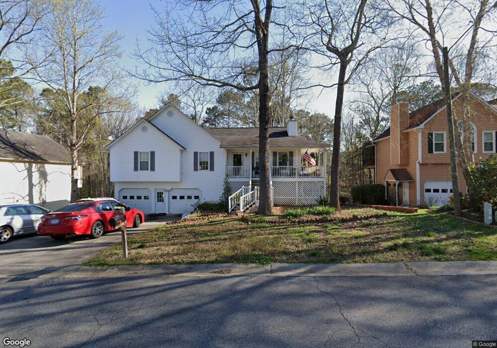
1029 Queensbury Run Unit 1 Acworth, GA 30102
Oak Grove NeighborhoodEstimated Value: $370,000 - $381,364
3
Beds
3
Baths
1,976
Sq Ft
$190/Sq Ft
Est. Value
About This Home
This home is located at 1029 Queensbury Run Unit 1, Acworth, GA 30102 and is currently estimated at $375,682, approximately $190 per square foot. 1029 Queensbury Run Unit 1 is a home located in Cherokee County with nearby schools including Oak Grove Elementary School, E. T. Booth Middle School, and Etowah High School.
Ownership History
Date
Name
Owned For
Owner Type
Purchase Details
Closed on
Apr 5, 1996
Sold by
Threewitt Robbie
Bought by
Munroe Barbara A
Current Estimated Value
Create a Home Valuation Report for This Property
The Home Valuation Report is an in-depth analysis detailing your home's value as well as a comparison with similar homes in the area
Home Values in the Area
Average Home Value in this Area
Purchase History
| Date | Buyer | Sale Price | Title Company |
|---|---|---|---|
| Munroe Barbara A | $113,900 | -- |
Source: Public Records
Mortgage History
| Date | Status | Borrower | Loan Amount |
|---|---|---|---|
| Closed | Munroe Barbara A | $0 |
Source: Public Records
Tax History Compared to Growth
Tax History
| Year | Tax Paid | Tax Assessment Tax Assessment Total Assessment is a certain percentage of the fair market value that is determined by local assessors to be the total taxable value of land and additions on the property. | Land | Improvement |
|---|---|---|---|---|
| 2025 | $3,874 | $147,528 | $32,000 | $115,528 |
| 2024 | $3,623 | $139,404 | $28,000 | $111,404 |
| 2023 | $3,641 | $140,124 | $28,000 | $112,124 |
| 2022 | $2,744 | $104,400 | $18,800 | $85,600 |
| 2021 | $2,573 | $90,640 | $18,800 | $71,840 |
| 2020 | $619 | $85,160 | $17,600 | $67,560 |
| 2019 | $597 | $79,320 | $17,600 | $61,720 |
| 2018 | $562 | $67,520 | $14,400 | $53,120 |
| 2017 | $573 | $166,700 | $14,400 | $52,280 |
| 2016 | $556 | $151,200 | $14,400 | $46,080 |
| 2015 | $579 | $152,800 | $14,400 | $46,720 |
| 2014 | $562 | $147,500 | $13,760 | $45,240 |
Source: Public Records
Map
Nearby Homes
- 307 Queensbury Walk
- 304 Queensbury Walk
- 756 Coventry Cove Way
- 752 Coventry Cove Way
- 341 Brighton Bend Ln
- 337 Brighton Bend Ln
- 6390 Woodstock Rd
- 222 Gallant Fox Way
- 145 Winner St
- 302 Victory Commons Overlook
- 148 Sable Trace Trail
- 585 Lee Dr
- 6312 Woodstock Rd
- The Fenton Plan at Buice Lake - Madison
- The Davis Plan at Buice Lake - Madison
- 400 Sable Trace Cove
- 6375 Caladium Dr
- 167 Sable Trace Trail
- 302 Bennett Farms Ct Unit 3
- 1216 Marlo Way
- 1027 Queensbury Run Unit 1
- 1031 Queensbury Run Unit 1
- 1035 Queensbury Run Unit 1
- 1025 Queensbury Run
- 300 Queensbury Walk
- 301 Queensbury Walk Unit 1
- 0 Queensbury Walk Unit 8881864
- 0 Queensbury Walk Unit 8905915
- 1034 Queensbury Run Unit 1
- 1037 Queensbury Run
- 1023 Queensbury Run
- 303 Queensbury Walk
- 2018 Queensbury Dr
- 1032 Queensbury Run Unit 1
- 2020 Queensbury Dr
- 1039 Queensbury Run Unit 2
- 302 Queensbury Walk
- 1040 Queensbury Run Unit 2
- 1021 Queensbury Run
- 2022 Queensbury Dr