1029 Railway Dr Mansfield, AR 72944
Estimated Value: $290,000 - $417,000
--
Bed
2
Baths
2,575
Sq Ft
$138/Sq Ft
Est. Value
About This Home
This home is located at 1029 Railway Dr, Mansfield, AR 72944 and is currently estimated at $356,159, approximately $138 per square foot. 1029 Railway Dr is a home located in Sebastian County with nearby schools including Mansfield Elementary School, Mansfield Middle School, and Mansfield High School.
Ownership History
Date
Name
Owned For
Owner Type
Purchase Details
Closed on
Jun 1, 2015
Sold by
Dorrough Douglas W
Bought by
Bolton Todd and Bolton Betty Sue
Current Estimated Value
Home Financials for this Owner
Home Financials are based on the most recent Mortgage that was taken out on this home.
Original Mortgage
$216,326
Outstanding Balance
$170,324
Interest Rate
3.82%
Mortgage Type
New Conventional
Estimated Equity
$185,835
Purchase Details
Closed on
Dec 12, 1996
Bought by
Hammons
Create a Home Valuation Report for This Property
The Home Valuation Report is an in-depth analysis detailing your home's value as well as a comparison with similar homes in the area
Home Values in the Area
Average Home Value in this Area
Purchase History
| Date | Buyer | Sale Price | Title Company |
|---|---|---|---|
| Bolton Todd | $211,500 | Land Title & Closing Inc | |
| Hammons | -- | -- |
Source: Public Records
Mortgage History
| Date | Status | Borrower | Loan Amount |
|---|---|---|---|
| Open | Bolton Todd | $216,326 | |
| Previous Owner | Dorrough Douglas W | $190,240 | |
| Previous Owner | Dorrough Douglas W | $206,400 |
Source: Public Records
Tax History Compared to Growth
Tax History
| Year | Tax Paid | Tax Assessment Tax Assessment Total Assessment is a certain percentage of the fair market value that is determined by local assessors to be the total taxable value of land and additions on the property. | Land | Improvement |
|---|---|---|---|---|
| 2024 | $2,258 | $46,550 | $5,060 | $41,490 |
| 2023 | $1,833 | $46,550 | $5,060 | $41,490 |
| 2022 | $1,883 | $46,550 | $5,060 | $41,490 |
| 2021 | $1,883 | $46,550 | $5,060 | $41,490 |
| 2020 | $1,883 | $46,550 | $5,060 | $41,490 |
| 2019 | $1,804 | $44,910 | $5,060 | $39,850 |
| 2018 | $1,829 | $44,910 | $5,060 | $39,850 |
| 2017 | $1,829 | $44,910 | $5,060 | $39,850 |
| 2016 | $1,829 | $0 | $0 | $0 |
| 2015 | $1,765 | $44,910 | $5,060 | $39,850 |
| 2014 | $1,664 | $41,510 | $4,450 | $37,060 |
Source: Public Records
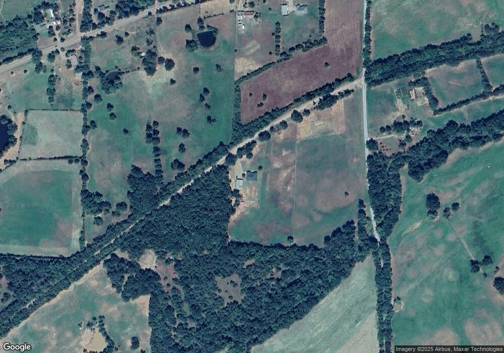
Map
Nearby Homes
- 1706 Lana Rd
- 101 N Main Ave
- 001 Frazier Rd
- TBD S Division Ave
- 510 Darlene Dr
- 513 Park Ave
- 324 Park Ave
- 411 S 7th Ave
- 901 E Center St
- 800 Broadway St
- 1000 E Center St
- 001 Broadway St
- 2825 Arkansas 96
- 00 Arkansas 252
- 11917 Highway 378
- 515 Bear Fry Loop
- TBD Douglas Rd
- 503 E Broadway St
- TBD U S Highway 71
- Tbd Broadway St
- 1021 W Highway 96
- 1121 W Highway 96
- 11616 Chocoville Rd
- 1034 W Highway 96
- 1217 W Highway 96
- 1202 W Highway 96
- . Railway Dr
- 0 Railway Dr
- TBD Railway Dr
- 1037 W Highway 96
- 1220 W Highway 96
- 1401 W Highway 96
- 1004 W Highway 96
- W Highway 96
- 12017 Chocoville Rd
- 1415 W Hartford Mansfield Rd
- 12066 Ranz Dr
- 12020 Chocoville Rd
- 940 W Highway 96
- 933 W Highway 96