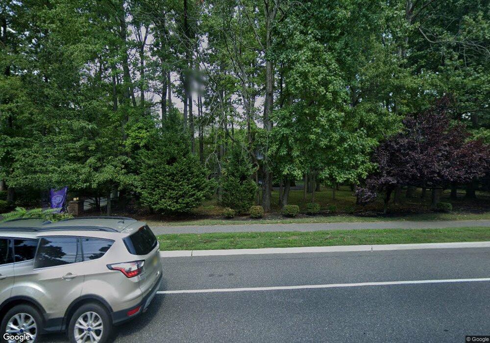
1029 Riverton Rd Moorestown, NJ 08057
Estimated Value: $946,000 - $1,034,000
5
Beds
5
Baths
3,414
Sq Ft
$290/Sq Ft
Est. Value
About This Home
This home is located at 1029 Riverton Rd, Moorestown, NJ 08057 and is currently estimated at $990,596, approximately $290 per square foot. 1029 Riverton Rd is a home located in Burlington County with nearby schools including George C. Baker Elementary School, Moorestown Upper Elementary School, and William Allen Middle School.
Ownership History
Date
Name
Owned For
Owner Type
Purchase Details
Closed on
Jul 18, 2003
Sold by
Kotwal Neville H
Bought by
Saint Cyr Spencer Carl and Saint Cyr Stephanie P
Current Estimated Value
Home Financials for this Owner
Home Financials are based on the most recent Mortgage that was taken out on this home.
Original Mortgage
$4,400
Outstanding Balance
$1,923
Interest Rate
5.52%
Mortgage Type
Credit Line Revolving
Estimated Equity
$988,673
Purchase Details
Closed on
Sep 29, 2000
Sold by
Hooper John H and Hooper Victoria M
Bought by
Kotwal Neville H
Create a Home Valuation Report for This Property
The Home Valuation Report is an in-depth analysis detailing your home's value as well as a comparison with similar homes in the area
Home Values in the Area
Average Home Value in this Area
Purchase History
| Date | Buyer | Sale Price | Title Company |
|---|---|---|---|
| Saint Cyr Spencer Carl | $544,000 | Affiliated Title Of South Je | |
| Kotwal Neville H | $400,000 | Beneficial Land Title Abstra |
Source: Public Records
Mortgage History
| Date | Status | Borrower | Loan Amount |
|---|---|---|---|
| Open | Saint Cyr Spencer Carl | $4,400 | |
| Open | Saint Cyr Spencer Carl | $435,200 |
Source: Public Records
Tax History Compared to Growth
Tax History
| Year | Tax Paid | Tax Assessment Tax Assessment Total Assessment is a certain percentage of the fair market value that is determined by local assessors to be the total taxable value of land and additions on the property. | Land | Improvement |
|---|---|---|---|---|
| 2025 | $16,279 | $573,800 | $162,800 | $411,000 |
| 2024 | $15,785 | $573,800 | $162,800 | $411,000 |
| 2023 | $15,785 | $573,800 | $162,800 | $411,000 |
| 2022 | $15,625 | $573,800 | $162,800 | $411,000 |
| 2021 | $15,418 | $573,800 | $162,800 | $411,000 |
| 2020 | $15,005 | $562,000 | $162,800 | $399,200 |
| 2019 | $14,657 | $558,800 | $162,800 | $396,000 |
| 2018 | $14,261 | $558,800 | $162,800 | $396,000 |
| 2017 | $13,907 | $540,300 | $162,800 | $377,500 |
| 2016 | $13,859 | $540,300 | $162,800 | $377,500 |
| 2015 | $13,691 | $540,300 | $162,800 | $377,500 |
| 2014 | $13,000 | $540,300 | $162,800 | $377,500 |
Source: Public Records
Map
Nearby Homes
- 2801 Riverton Rd
- 2611 Barton Ct
- 2807 Hunterdon Dr
- 2716 Branch Pike
- 310 Devon Rd
- 62 Sussex Dr
- 213 Wayne Dr
- 343 Tom Brown Rd
- 116 Wayne Dr
- 347 Tom Brown Rd
- 2408 New Albany Rd
- 322 Boxwood Ln
- 502 Pomona Rd
- 142 Fox Chase Dr
- 2209 New Albany Rd
- 228 Aqua Ln
- 831 Windsor Dr
- 2204 New Albany Rd
- 543 Bethel Ave
- 205 Crider Ave Unit 205
- 1033 Riverton Rd
- 1004 Riverton Rd
- 1021 Riverton Rd
- 16 Jersey Belle Dr
- 18 Jersey Belle Dr
- 1008 Riverton Rd
- 1000 Riverton Rd
- 1 Cardinal Dr
- 1041 Riverton Rd
- 821 New Albany Rd
- 14 Jersey Belle Dr
- 5 Cardinal Dr
- 11 Armstrong Dr
- 1017 Riverton Rd
- 21 Jersey Belle Dr
- 2 Robin Rd
- 15 Armstrong Dr
- 9 Armstrong Dr
- 1 Robin Rd
- 17 Armstrong Dr
