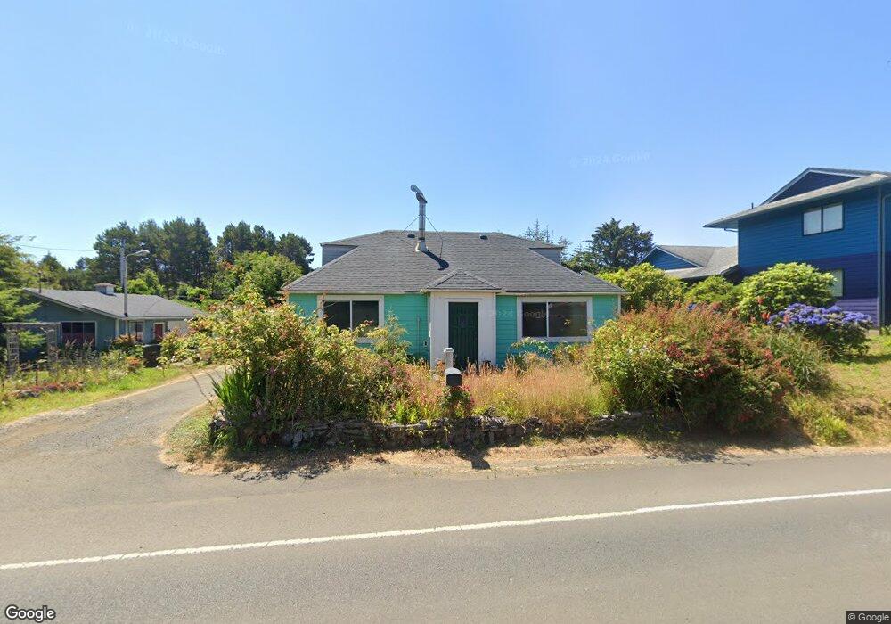
1029 SW Wakonda Beach Rd Waldport, OR 97394
Estimated Value: $332,424 - $487,000
2
Beds
1
Bath
1,570
Sq Ft
$260/Sq Ft
Est. Value
About This Home
This home is located at 1029 SW Wakonda Beach Rd, Waldport, OR 97394 and is currently estimated at $408,856, approximately $260 per square foot. 1029 SW Wakonda Beach Rd is a home located in Lincoln County with nearby schools including Crestview Heights School, Waldport High and Middle School, and Angell JCC.
Ownership History
Date
Name
Owned For
Owner Type
Purchase Details
Closed on
Jun 25, 2010
Sold by
Federal National Mortgage Association
Bought by
Pinkerton Martha Marie
Current Estimated Value
Purchase Details
Closed on
May 7, 2010
Sold by
Dasilva David P and Dasilva Shirely J
Bought by
Federal National Mortgage Association
Purchase Details
Closed on
Jan 6, 2009
Sold by
Dasilva David P
Bought by
Avila Nancy and Dasilva Shirley J
Create a Home Valuation Report for This Property
The Home Valuation Report is an in-depth analysis detailing your home's value as well as a comparison with similar homes in the area
Home Values in the Area
Average Home Value in this Area
Purchase History
| Date | Buyer | Sale Price | Title Company |
|---|---|---|---|
| Pinkerton Martha Marie | $77,500 | Ticor Title Company Oregon | |
| Federal National Mortgage Association | $141,788 | First American Title Ins Co | |
| Avila Nancy | -- | Western Title & Escrow |
Source: Public Records
Tax History Compared to Growth
Tax History
| Year | Tax Paid | Tax Assessment Tax Assessment Total Assessment is a certain percentage of the fair market value that is determined by local assessors to be the total taxable value of land and additions on the property. | Land | Improvement |
|---|---|---|---|---|
| 2024 | $2,141 | $153,060 | -- | -- |
| 2023 | $2,071 | $148,610 | $0 | $0 |
| 2022 | $1,866 | $144,290 | $0 | $0 |
| 2021 | $1,831 | $140,090 | $0 | $0 |
| 2020 | $1,799 | $136,010 | $0 | $0 |
| 2019 | $1,730 | $132,050 | $0 | $0 |
| 2018 | $1,705 | $128,210 | $0 | $0 |
| 2017 | $1,638 | $124,480 | $0 | $0 |
| 2016 | $1,515 | $120,860 | $0 | $0 |
| 2015 | $1,370 | $117,340 | $0 | $0 |
| 2014 | $1,332 | $113,930 | $0 | $0 |
| 2013 | -- | $110,620 | $0 | $0 |
Source: Public Records
Map
Nearby Homes
- 5272 SW Field Ave
- 1208 SW Division St
- 5220 SW Neal Ave
- 5194 SW Field Ave
- 809 SW Wakonda Beach Rd
- TL1200 SW Pacific Coast Hwy
- 4711 SW Pacific Coast Hwy
- 805 SW Wakeetum St
- 4605 SW Pacific Coast Hwy
- 4699 SW Eriksen Ave
- 0 SW Flansberg Ave
- 4470 SW Flansberg Ave
- 3877 SW Dahlia Ln
- 3692 SW Pacific Coast Hwy
- 3531 SW Fernwood Ln
- 7304 SW Pacific Coast Hwy
- 128 SW Wakonda Beach Rd
- 1115 SW Whitecap Dr
- 1155 SW Sailfish Loop
- 2220 SW Green Ln
- 1041 SW Wakonda Beach Rd
- 5431 SW Field Ave
- 5386 SW Stormwatch Ave
- 5371 SW Field Ave
- 1200 SW Wakonda Beach Rd
- 1300 SW Wakonda Beach Rd
- 1400 SW Wakonda Beach Rd
- 5329 SW Field Ave
- 5424 SW Field Ave
- 5340 SW Stormwatch Ave
- 5384 SW Field Ave
- 5287 Field SW
- 5458 SW Field Ave
- 5517 SW Field Ave
- 5350 SW Field Ave
- 5313 SW Field Ave
- 5421 SW Neal Ave
- 956 SW Wakonda Beach Rd
- 1160 SW Wakonda Beach Rd
- 5565 SW Field Ave