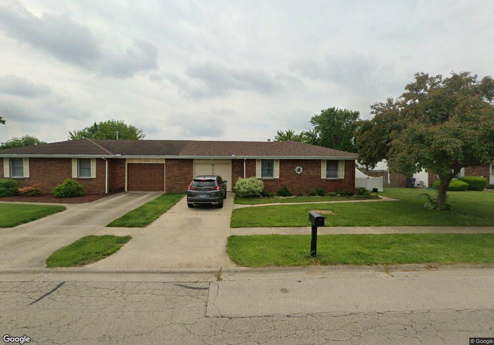
1029 W Dresden Dr Morris, IL 60450
Estimated Value: $189,000 - $219,000
3
Beds
2
Baths
1,188
Sq Ft
$177/Sq Ft
Est. Value
About This Home
This home is located at 1029 W Dresden Dr, Morris, IL 60450 and is currently estimated at $210,072, approximately $176 per square foot. 1029 W Dresden Dr is a home located in Grundy County with nearby schools including White Oak Elementary School, Shabbona Middle School, and Morris Community High School.
Ownership History
Date
Name
Owned For
Owner Type
Purchase Details
Closed on
Jul 7, 2016
Sold by
Charled D Fitzgerald Revocable Trust
Bought by
Minsey Heidi M
Current Estimated Value
Home Financials for this Owner
Home Financials are based on the most recent Mortgage that was taken out on this home.
Original Mortgage
$119,310
Outstanding Balance
$95,122
Interest Rate
3.54%
Mortgage Type
New Conventional
Estimated Equity
$114,950
Create a Home Valuation Report for This Property
The Home Valuation Report is an in-depth analysis detailing your home's value as well as a comparison with similar homes in the area
Home Values in the Area
Average Home Value in this Area
Purchase History
| Date | Buyer | Sale Price | Title Company |
|---|---|---|---|
| Minsey Heidi M | $123,000 | Fidelity National Title Insu |
Source: Public Records
Mortgage History
| Date | Status | Borrower | Loan Amount |
|---|---|---|---|
| Open | Minsey Heidi M | $119,310 |
Source: Public Records
Tax History Compared to Growth
Tax History
| Year | Tax Paid | Tax Assessment Tax Assessment Total Assessment is a certain percentage of the fair market value that is determined by local assessors to be the total taxable value of land and additions on the property. | Land | Improvement |
|---|---|---|---|---|
| 2024 | $4,314 | $55,119 | $8,851 | $46,268 |
| 2023 | $4,063 | $51,911 | $8,336 | $43,575 |
| 2022 | $3,278 | $47,880 | $7,689 | $40,191 |
| 2021 | $3,117 | $45,281 | $7,272 | $38,009 |
| 2020 | $3,070 | $44,125 | $7,086 | $37,039 |
| 2019 | $2,869 | $41,825 | $6,717 | $35,108 |
| 2018 | $2,815 | $41,014 | $6,587 | $34,427 |
| 2017 | $2,624 | $38,858 | $6,241 | $32,617 |
| 2016 | $2,596 | $38,553 | $6,192 | $32,361 |
| 2015 | $2,410 | $37,010 | $5,944 | $31,066 |
| 2014 | $2,339 | $36,044 | $5,789 | $30,255 |
| 2013 | $2,396 | $37,480 | $6,020 | $31,460 |
Source: Public Records
Map
Nearby Homes
- 1209 Lakewood Dr Unit D
- 0000 Lakewood Dr
- 1180 Lakewood Dr
- 1009-1011 Dupont Ave
- 374 Edgewater Dr
- Lot 3,4,5,7,8 Edgewater Dr
- 1375 Lakeside Ln
- 1455 Lake Dr
- 1466 Mollie Dr
- 1665 Schubert Dr
- 1301 Union St
- 1445 Scott Cir
- 523 Bedford Rd
- 1539 W Us Route 6
- 936 Thomas Dr
- 957 Thomas Dr
- 1020 Gladys Ave
- 00 U S 6
- 1873 Sunflower Ct
- 2099 Kingtree Dr
- 1027 W Dresden Dr
- 1033 W Dresden Dr
- 1035 W Dresden Dr
- 104 Doe Cir
- 108 Doe Cir
- 108 Doe Cir Unit 108
- 1278 Deerpath Dr
- 1276 Deerpath Dr
- 110 Doe Cir
- 1309 Dresden Dr Unit A
- 1309 Dresden Dr Unit B
- 1309 Dresden Dr Unit C
- 1309 Dresden Dr
- 1270 Deerpath Dr
- 1036 W Dresden Dr
- 1034 W Dresden Dr
- 1268 Deerpath Dr
- 1038 W Dresden Dr
- 1028 W Dresden Dr
- 1040 W Dresden Dr