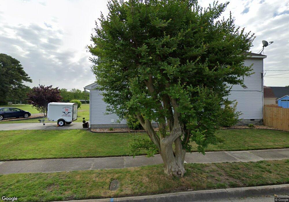
1029 Wolcott Ave Norfolk, VA 23513
Coronado NeighborhoodEstimated Value: $296,000 - $337,000
3
Beds
3
Baths
1,633
Sq Ft
$195/Sq Ft
Est. Value
About This Home
This home is located at 1029 Wolcott Ave, Norfolk, VA 23513 and is currently estimated at $319,023, approximately $195 per square foot. 1029 Wolcott Ave is a home located in Norfolk City with nearby schools including Frances E. Willard Model Elementary School, Norview Middle School, and Norview High School.
Ownership History
Date
Name
Owned For
Owner Type
Purchase Details
Closed on
Jul 20, 2018
Sold by
Bobick David A
Bought by
Erwin Daniel B
Current Estimated Value
Home Financials for this Owner
Home Financials are based on the most recent Mortgage that was taken out on this home.
Original Mortgage
$192,060
Outstanding Balance
$166,449
Interest Rate
4.5%
Mortgage Type
New Conventional
Estimated Equity
$152,574
Purchase Details
Closed on
Jun 14, 2011
Sold by
The 1029 Wolcott Ave Shirley A Cummings
Bought by
Bobick David A
Home Financials for this Owner
Home Financials are based on the most recent Mortgage that was taken out on this home.
Original Mortgage
$199,090
Interest Rate
4.62%
Mortgage Type
VA
Purchase Details
Closed on
Mar 14, 2011
Sold by
Cummings Shirley A
Bought by
The 1029 Wolcott Ave Shirley Cummings Fa
Create a Home Valuation Report for This Property
The Home Valuation Report is an in-depth analysis detailing your home's value as well as a comparison with similar homes in the area
Home Values in the Area
Average Home Value in this Area
Purchase History
| Date | Buyer | Sale Price | Title Company |
|---|---|---|---|
| Erwin Daniel B | $198,000 | Priority Title & Escrow | |
| Bobick David A | $194,900 | Old Republic National Title | |
| The 1029 Wolcott Ave Shirley Cummings Fa | -- | None Available |
Source: Public Records
Mortgage History
| Date | Status | Borrower | Loan Amount |
|---|---|---|---|
| Open | Erwin Daniel B | $192,060 | |
| Previous Owner | Bobick David A | $199,090 |
Source: Public Records
Tax History Compared to Growth
Tax History
| Year | Tax Paid | Tax Assessment Tax Assessment Total Assessment is a certain percentage of the fair market value that is determined by local assessors to be the total taxable value of land and additions on the property. | Land | Improvement |
|---|---|---|---|---|
| 2025 | $3,874 | $309,900 | $75,600 | $234,300 |
| 2024 | $3,523 | $286,400 | $75,600 | $210,800 |
| 2023 | $3,335 | $266,800 | $75,600 | $191,200 |
| 2022 | $3,089 | $247,100 | $55,900 | $191,200 |
| 2021 | $2,891 | $231,300 | $53,300 | $178,000 |
| 2020 | $2,693 | $215,400 | $44,000 | $171,400 |
| 2019 | $2,540 | $203,200 | $40,000 | $163,200 |
| 2018 | $2,268 | $181,400 | $40,000 | $141,400 |
| 2017 | $2,070 | $180,000 | $40,000 | $140,000 |
| 2016 | $2,070 | $202,200 | $32,500 | $169,700 |
| 2015 | $2,325 | $202,200 | $32,500 | $169,700 |
| 2014 | $2,325 | $202,200 | $32,500 | $169,700 |
Source: Public Records
Map
Nearby Homes
- 1038 Philpotts Rd
- 1037 Philpotts Rd
- 985 Wolcott Ave
- 977 Wolcott Ave
- 983 Widgeon Rd
- 6459 Clare Rd
- 974 Philpotts Rd
- 6416 Palem Rd
- 955 Marietta Ave
- 6400 Clare Rd
- 1041 Tifton St
- 943 Philpotts Rd
- 936 Widgeon Rd
- 1203 Curie Ct
- 1200 Underwood Ave
- 1221 Curie Ct
- 7021 University Dr
- 1044 Kane St
- 6433 Faraday Ct
- 1072 Kane St
- 1031 Wolcott Ave
- 6706 Palem Rd
- 6719 Palem Rd
- 1033 Wolcott Ave
- 6707 Palem Rd
- 1028 Albert Ave
- 6801 Sewells Point Rd
- 1017 Wolcott Ave
- 6703 Palem Rd
- 1034 Albert Ave
- 1018 Albert Ave
- 1018 Wolcott Ave Unit A
- 1018 Wolcott Ave
- 1015 Wolcott Ave
- 6618 Palem Rd
- 6809 Sewells Point Rd
- 1016 Albert Ave
- 1013 Wolcott Ave
- 1025 Widgeon Rd
- 6614 Palem Rd