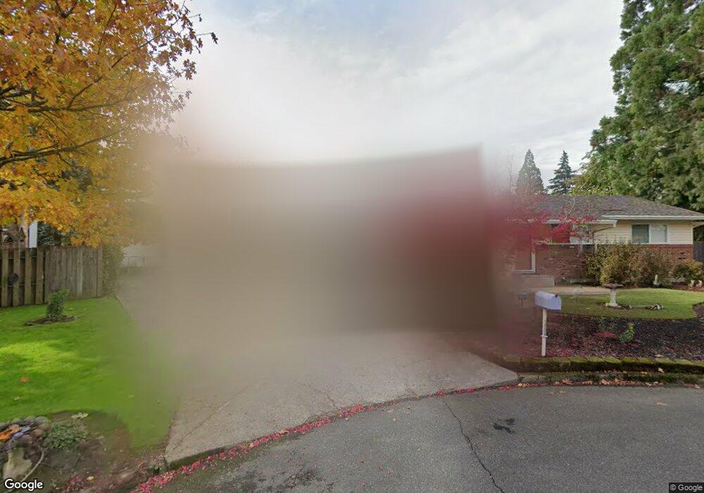
10290 SW Brookside Ct Portland, OR 97223
Greenburg Road NeighborhoodEstimated Value: $484,000 - $537,000
3
Beds
1
Bath
960
Sq Ft
$534/Sq Ft
Est. Value
About This Home
This home is located at 10290 SW Brookside Ct, Portland, OR 97223 and is currently estimated at $512,519, approximately $533 per square foot. 10290 SW Brookside Ct is a home located in Washington County with nearby schools including Charles F. Tigard Elementary School, Thomas R. Fowler Middle School, and Tigard High School.
Create a Home Valuation Report for This Property
The Home Valuation Report is an in-depth analysis detailing your home's value as well as a comparison with similar homes in the area
Home Values in the Area
Average Home Value in this Area
Tax History Compared to Growth
Tax History
| Year | Tax Paid | Tax Assessment Tax Assessment Total Assessment is a certain percentage of the fair market value that is determined by local assessors to be the total taxable value of land and additions on the property. | Land | Improvement |
|---|---|---|---|---|
| 2025 | $3,479 | $204,070 | -- | -- |
| 2024 | $3,386 | $198,130 | -- | -- |
| 2023 | $3,386 | $203,740 | $0 | $0 |
| 2022 | $3,289 | $203,740 | $0 | $0 |
| 2021 | $3,206 | $181,330 | $0 | $0 |
| 2020 | $3,110 | $176,050 | $0 | $0 |
| 2019 | $2,975 | $170,930 | $0 | $0 |
| 2018 | $2,855 | $165,960 | $0 | $0 |
| 2017 | $2,752 | $161,130 | $0 | $0 |
| 2016 | $2,628 | $156,440 | $0 | $0 |
| 2015 | $2,526 | $151,890 | $0 | $0 |
| 2014 | $2,451 | $147,470 | $0 | $0 |
Source: Public Records
Map
Nearby Homes
- 10097 SW Woodard Ln
- 10060 SW Molly Ct
- 12065 SW Karol Ct
- 12230 SW 106th Dr
- 10635 SW Watkins Place
- 10455 SW Meadow St
- 11010 SW Fonner St
- 13235 SW Ash Dr
- 10200 SW Tigard St
- 10985 SW Mira Ct
- 13465 SW 107th Ave
- 12393 SW 114th Terrace
- 11220 SW Buffalo Place
- 11355 SW 97th Ct
- 12557 SW 115th Ave
- 11464 SW 96th Ave
- 11790 SW 90th Ave
- 11044 SW Greenburg Rd Unit 321
- 11287 SW 112th Ave
- 9270 SW Edgewood St
- 10260 SW Brookside Ct
- 10295 SW Brookside Ct
- 12555 SW Brookside Ct
- 12555 SW Brookside Ave
- 10265 SW Brookside Ct
- 10270 SW Brookside Place
- 12525 SW Brookside Ave
- 10300 SW Brookside Place
- 12575 SW Brookside Ave
- 10240 SW Brookside Place
- 10340 SW Johnson St
- 10210 SW Brookside Place
- 12595 SW Brookside Ave
- 12505 SW Brookside Ave
- 10130 SW Brookside Place
- 10355 SW Walnut St
- 10450 SW Johnson St
- 12550 SW Brookside Ave
- 12485 SW Brookside Ave
- 10315 SW Brookside Place