10290 W State Highway Tt Republic, MO 65738
Estimated Value: $355,064 - $532,000
3
Beds
1
Bath
1,804
Sq Ft
$234/Sq Ft
Est. Value
About This Home
This home is located at 10290 W State Highway Tt, Republic, MO 65738 and is currently estimated at $422,688, approximately $234 per square foot. 10290 W State Highway Tt is a home located in Greene County with nearby schools including Schofield Elementary School, Republic Middle School, and Republic High School.
Ownership History
Date
Name
Owned For
Owner Type
Purchase Details
Closed on
Jul 31, 2014
Sold by
Propst Terry L
Bought by
Propst Terry L and Gay Larry G
Current Estimated Value
Home Financials for this Owner
Home Financials are based on the most recent Mortgage that was taken out on this home.
Original Mortgage
$128,000
Outstanding Balance
$97,534
Interest Rate
4.17%
Mortgage Type
New Conventional
Estimated Equity
$325,154
Create a Home Valuation Report for This Property
The Home Valuation Report is an in-depth analysis detailing your home's value as well as a comparison with similar homes in the area
Home Values in the Area
Average Home Value in this Area
Purchase History
| Date | Buyer | Sale Price | Title Company |
|---|---|---|---|
| Propst Terry L | -- | None Available |
Source: Public Records
Mortgage History
| Date | Status | Borrower | Loan Amount |
|---|---|---|---|
| Open | Propst Terry L | $128,000 |
Source: Public Records
Tax History Compared to Growth
Tax History
| Year | Tax Paid | Tax Assessment Tax Assessment Total Assessment is a certain percentage of the fair market value that is determined by local assessors to be the total taxable value of land and additions on the property. | Land | Improvement |
|---|---|---|---|---|
| 2025 | $1,050 | $22,350 | $8,140 | $14,210 |
| 2024 | $1,050 | $20,070 | $7,190 | $12,880 |
| 2023 | $1,028 | $20,070 | $7,190 | $12,880 |
| 2022 | $993 | $19,310 | $7,190 | $12,120 |
| 2021 | $993 | $19,310 | $7,190 | $12,120 |
| 2020 | $1,010 | $19,310 | $7,190 | $12,120 |
| 2019 | $1,005 | $19,310 | $7,190 | $12,120 |
| 2018 | $1,023 | $19,020 | $7,220 | $11,800 |
| 2017 | $1,015 | $18,940 | $7,220 | $11,720 |
| 2016 | $1,019 | $18,940 | $7,220 | $11,720 |
| 2015 | $1,019 | $18,940 | $7,220 | $11,720 |
| 2014 | $1,031 | $18,980 | $7,200 | $11,780 |
Source: Public Records
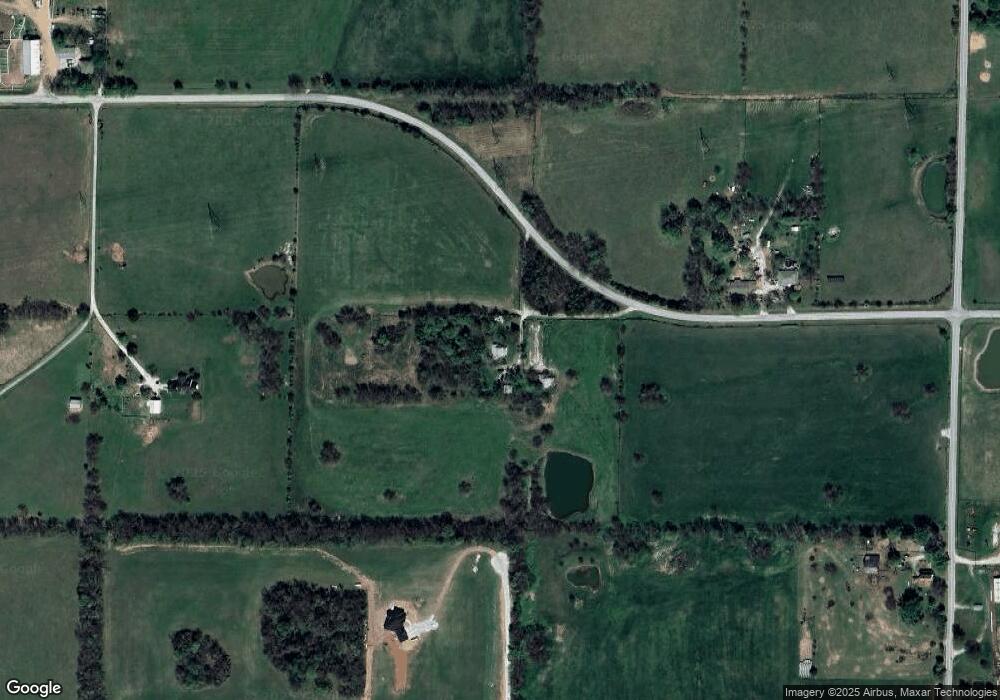
Map
Nearby Homes
- 11414 Benjamin
- Lot 23 The Woods
- 141 E Kelce Ln
- Willow Plan at Harper Ridge
- Sycamore 3 Plan at Harper Ridge
- Sycamore 2 Plan at Harper Ridge
- Sycamore 4 Plan at Harper Ridge
- Aspen 3 Plan at Harper Ridge
- 188 E Kelce Ln
- 1367 N Harper Ridge Dr
- 205 E Kelce Ln
- 174 E Kelce Ln
- 127 E Kelce Ln
- 193 E Kelce Ln
- 162 E Kelce Ln
- 167 E Kelce Ln
- 119 E Clayton Ln
- 185 E Clayton Ln
- 184 E Clayton Ln
- 196 E Clayton Ln
- 10141 W State Highway Tt
- 3412 S Pond Willow Ln
- 14.62 W Acres State Highway Tt
- 3681 S Farm Road 69
- O W State Hwy Tt
- 3615 S Farm Road 69
- 10525 W State Highway Tt
- 35 Acres S Farm Road 69
- 3415 S Pond Willow Ln
- 3642 S Farm Road 69
- 3346 S Farm Road 69
- 26 Acres S Farm Road 69
- 10051 W State Highway Tt
- 10554 W State Highway Tt
- 10670 W State Highway Tt
- 10726 W State Highway Tt
- 10802 W Arnalls Ln
- 10345 W Farm Road 168
- 10776 W State Highway Tt
- 10816 W Arnalls Ln