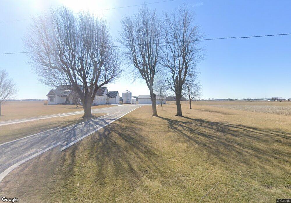
10298 State Route 701 Kenton, OH 43326
Estimated Value: $384,000
4
Beds
1
Bath
2,188
Sq Ft
$176/Sq Ft
Est. Value
About This Home
This home is located at 10298 State Route 701, Kenton, OH 43326 and is currently estimated at $384,000, approximately $175 per square foot. 10298 State Route 701 is a home located in Hardin County with nearby schools including Hardin Northern Elementary School and Hardin Northern High School.
Ownership History
Date
Name
Owned For
Owner Type
Purchase Details
Closed on
Dec 15, 2020
Sold by
Wilson Jeffrey D and Musselman Nancy J
Bought by
Fritz Aaron and Fritz Brianne
Current Estimated Value
Purchase Details
Closed on
Nov 12, 2020
Sold by
Wilson Mildred R
Bought by
Wilson Jeffrey D
Purchase Details
Closed on
Feb 15, 2019
Sold by
Estate Of Ted A Wilson
Bought by
Curlis Wilson Dawn M
Purchase Details
Closed on
Nov 20, 2001
Sold by
Wilson Mildred R
Bought by
Musselman Nancy J and Bahr Beverly K
Purchase Details
Closed on
Nov 6, 1998
Bought by
Wilson Family Trust
Purchase Details
Closed on
Oct 13, 1998
Sold by
Wilson Mildred R
Bought by
Wilson Mildred R
Purchase Details
Closed on
Apr 18, 1994
Bought by
Wilson Mildred R
Create a Home Valuation Report for This Property
The Home Valuation Report is an in-depth analysis detailing your home's value as well as a comparison with similar homes in the area
Home Values in the Area
Average Home Value in this Area
Purchase History
| Date | Buyer | Sale Price | Title Company |
|---|---|---|---|
| Fritz Aaron | -- | None Available | |
| Wilson Jeffrey D | -- | None Available | |
| Curlis Wilson Dawn M | -- | None Available | |
| Musselman Nancy J | -- | None Available | |
| Wilson Family Trust | -- | -- | |
| Wilson Mildred R | -- | None Available | |
| Wilson Mildred R | -- | -- |
Source: Public Records
Tax History Compared to Growth
Tax History
| Year | Tax Paid | Tax Assessment Tax Assessment Total Assessment is a certain percentage of the fair market value that is determined by local assessors to be the total taxable value of land and additions on the property. | Land | Improvement |
|---|---|---|---|---|
| 2024 | $1,829 | $48,020 | $48,020 | $0 |
| 2023 | $1,829 | $48,020 | $48,020 | $0 |
| 2022 | $1,103 | $24,570 | $24,570 | $0 |
| 2021 | $1,109 | $24,570 | $24,570 | $0 |
| 2020 | $1,113 | $66,850 | $29,740 | $37,110 |
| 2019 | $2,871 | $79,680 | $47,160 | $32,520 |
| 2018 | $2,878 | $79,680 | $47,160 | $32,520 |
| 2017 | $2,860 | $79,680 | $47,160 | $32,520 |
| 2016 | $2,850 | $85,760 | $60,480 | $25,280 |
| 2015 | $3,100 | $85,760 | $60,480 | $25,280 |
| 2014 | $2,896 | $86,790 | $60,480 | $26,310 |
| 2013 | $1,936 | $57,100 | $28,400 | $28,700 |
Source: Public Records
Map
Nearby Homes
- 8187 Township Road 90
- 2375 Wayne St
- 1568 State Route 68
- 9224 County Road 14
- 5091 County Road 175
- 0 Township Road 64
- 501 Elm St
- 407 Marion St Unit 403
- 700 N Ida St
- 3931 County Road 80
- 368 N Ida St
- 406 Terry St
- 723 W Lima St Unit 1
- 602 N Wayne St
- 0 Ohio 309
- 618 N High St
- 777 Maydoll Dr
- 702 W Franklin St Unit 702 1/2
- 458 W Columbus St
- 328 N Detroit St
- 10458 State Route 701
- 10459 State Route 701
- 10103 State Route 701
- 10581 State Route 701
- 6120 County Road 115
- 6207 County Road 115
- 10736 State Route 701
- 9852 State Route 701
- 6412 County Road 115
- 10817 State Route 701
- 5803 County Road 115
- 000 Co Rd
- 6597 County Road 115
- 6403 Township Road 125
- 6229 Township Road 125
- 6678 County Road 115
- 5523 Township Road 125
- 5701 Tr 125
- 9409 State Route 701
- 11184 State Route 701