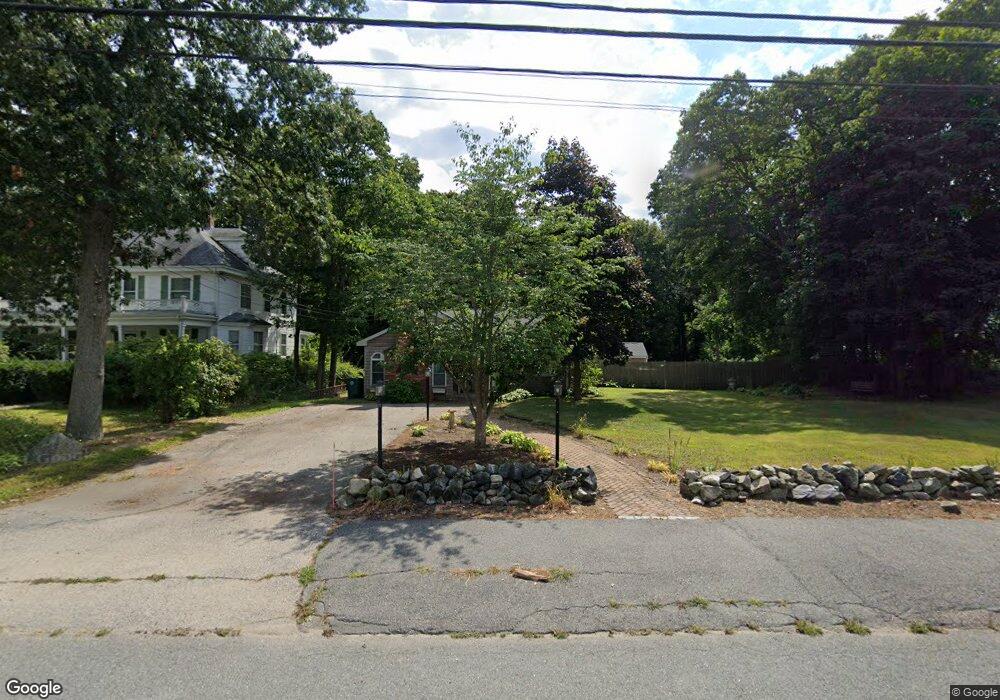
103 Adams St Abington, MA 02351
Estimated Value: $564,000 - $605,000
3
Beds
2
Baths
1,822
Sq Ft
$318/Sq Ft
Est. Value
About This Home
This home is located at 103 Adams St, Abington, MA 02351 and is currently estimated at $580,203, approximately $318 per square foot. 103 Adams St is a home located in Plymouth County with nearby schools including Beaver Brook Elementary School, Abington Middle School, and Woodsdale School.
Ownership History
Date
Name
Owned For
Owner Type
Purchase Details
Closed on
Nov 21, 2008
Sold by
Ford Linda S
Bought by
Consalvi Dennis L
Current Estimated Value
Home Financials for this Owner
Home Financials are based on the most recent Mortgage that was taken out on this home.
Original Mortgage
$242,203
Interest Rate
6.03%
Mortgage Type
Purchase Money Mortgage
Purchase Details
Closed on
Dec 27, 2004
Sold by
Sullivan Ret
Bought by
Ford Linda S
Create a Home Valuation Report for This Property
The Home Valuation Report is an in-depth analysis detailing your home's value as well as a comparison with similar homes in the area
Home Values in the Area
Average Home Value in this Area
Purchase History
| Date | Buyer | Sale Price | Title Company |
|---|---|---|---|
| Consalvi Dennis L | $245,400 | -- | |
| Ford Linda S | $340,000 | -- |
Source: Public Records
Mortgage History
| Date | Status | Borrower | Loan Amount |
|---|---|---|---|
| Open | Ford Linda S | $245,473 | |
| Closed | Ford Linda S | $242,203 | |
| Previous Owner | Ford Linda S | $125,000 |
Source: Public Records
Tax History Compared to Growth
Tax History
| Year | Tax Paid | Tax Assessment Tax Assessment Total Assessment is a certain percentage of the fair market value that is determined by local assessors to be the total taxable value of land and additions on the property. | Land | Improvement |
|---|---|---|---|---|
| 2025 | $6,166 | $472,100 | $228,600 | $243,500 |
| 2024 | $6,032 | $450,800 | $207,900 | $242,900 |
| 2023 | $6,188 | $435,500 | $180,700 | $254,800 |
| 2022 | $6,058 | $398,000 | $158,100 | $239,900 |
| 2021 | $9,079 | $341,400 | $143,400 | $198,000 |
| 2020 | $5,700 | $335,300 | $143,400 | $191,900 |
| 2019 | $5,497 | $303,500 | $136,500 | $167,000 |
| 2018 | $8,907 | $299,000 | $136,500 | $162,500 |
| 2017 | $9,091 | $287,400 | $136,500 | $150,900 |
| 2016 | $4,829 | $269,300 | $130,000 | $139,300 |
| 2015 | $4,381 | $257,700 | $130,000 | $127,700 |
Source: Public Records
Map
Nearby Homes
- 38 Lantern Ln
- 96 Plymouth St
- 0 Bedford St
- 676 Bedford St
- 1353 Washington St
- 1042 Washington St
- 40 Wales St
- 90 Warren St
- 925 Washington St
- 32 Warren St
- 57 Battery St
- 1077 Bedford St
- 10 Mccue Cir
- 46 Wardson Cir
- 715 Thayer St Unit 715
- 5 Clark Rd
- 197 Bedford St
- 33 Birch St Unit 126
- 74 Checkerberry Rd
- 20 Birch St