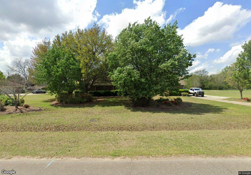
103 Air Park Dr Warner Robins, GA 31088
Estimated Value: $308,000 - $381,205
3
Beds
2
Baths
2,740
Sq Ft
$130/Sq Ft
Est. Value
About This Home
This home is located at 103 Air Park Dr, Warner Robins, GA 31088 and is currently estimated at $356,551, approximately $130 per square foot. 103 Air Park Dr is a home located in Houston County with nearby schools including David A. Perdue Primary School, David A. Perdue Elementary School, and Feagin Mill Middle School.
Ownership History
Date
Name
Owned For
Owner Type
Purchase Details
Closed on
Oct 18, 2010
Sold by
Montano Edward H and Montano Mary Ann
Bought by
Montano Edward H and Montano Mary Ann
Current Estimated Value
Purchase Details
Closed on
Apr 18, 2002
Sold by
Stone John W and Stone Jessie K
Bought by
Montano Edward H and Mary Ann
Purchase Details
Closed on
Mar 18, 1994
Sold by
Goocey Gary and Goocey Debra R
Bought by
Stone John W and Stone Jessie K
Purchase Details
Closed on
Mar 19, 1992
Sold by
Harman Edmond L and Harman Sheila F
Bought by
Goocey Gary and Debra R*
Purchase Details
Closed on
Dec 20, 1985
Sold by
Vansandt Richard L and Patsy Ann
Bought by
Harman Edmond L and Sheila F*
Create a Home Valuation Report for This Property
The Home Valuation Report is an in-depth analysis detailing your home's value as well as a comparison with similar homes in the area
Home Values in the Area
Average Home Value in this Area
Purchase History
| Date | Buyer | Sale Price | Title Company |
|---|---|---|---|
| Montano Edward H | -- | None Available | |
| Montano Edward H | $159,000 | -- | |
| Stone John W | $130,000 | -- | |
| Goocey Gary | $86,000 | -- | |
| Harman Edmond L | $5,500 | -- |
Source: Public Records
Tax History Compared to Growth
Tax History
| Year | Tax Paid | Tax Assessment Tax Assessment Total Assessment is a certain percentage of the fair market value that is determined by local assessors to be the total taxable value of land and additions on the property. | Land | Improvement |
|---|---|---|---|---|
| 2024 | $2,994 | $125,160 | $9,800 | $115,360 |
| 2023 | $2,542 | $105,168 | $9,800 | $95,368 |
| 2022 | $2,338 | $96,728 | $9,800 | $86,928 |
| 2021 | $2,083 | $85,720 | $8,800 | $76,920 |
| 2020 | $1,844 | $75,560 | $8,800 | $66,760 |
| 2019 | $1,844 | $75,560 | $8,800 | $66,760 |
| 2018 | $1,667 | $68,280 | $8,800 | $59,480 |
| 2017 | $1,668 | $68,280 | $8,800 | $59,480 |
| 2016 | $1,671 | $68,280 | $8,800 | $59,480 |
| 2015 | $1,674 | $68,280 | $8,800 | $59,480 |
| 2014 | -- | $68,280 | $8,800 | $59,480 |
| 2013 | -- | $68,280 | $8,800 | $59,480 |
Source: Public Records
Map
Nearby Homes
- 207 Courthouse Ln
- 110 Mayberry Ln
- 108 Mayberry Ln
- 104 Mayberry Ln
- 1148 Thornblade Dr
- 102 Mayberry Ln
- 102 Mayberry Ln Unit LOT 1 MB
- 112 Ballyhara
- 404 Minter Dr
- 401 Bella Notte Cir Unit 5D
- 401 Bella Notte Cir
- 414 Bella Notte Cir
- 414 Bella Notte Cir Unit 23A
- 416 Bella Notte Cir
- 416 Bella Notte Cir Unit 22A
- 418 Bella Notte Cir Unit 21A
- 409 Bella Notte Cir Unit 1D
- 409 Bella Notte Cir
- 131 Ben Edwards Rd
- 500 Bella Notte Cir Unit 16A
- 101 Air Park Dr
- 907 Ga Highway 96
- 907 Ga Highway 96
- 107 Air Park Dr
- 102 Air Park Dr
- 100 Air Park Dr
- 104 Air Park Dr
- 109 Air Park Dr
- 108 Air Park Dr
- 905 Ga Highway 96
- 111 Air Park Dr
- 907 State Route 96
- 110 Air Park Dr
- 113 Air Park Dr
- 112 Air Park Dr
- 109 Latham Dr
- 114 Air Park Dr
- 921 Ga Highway 96
- 921 State Route 96
- 921 Georgia 96