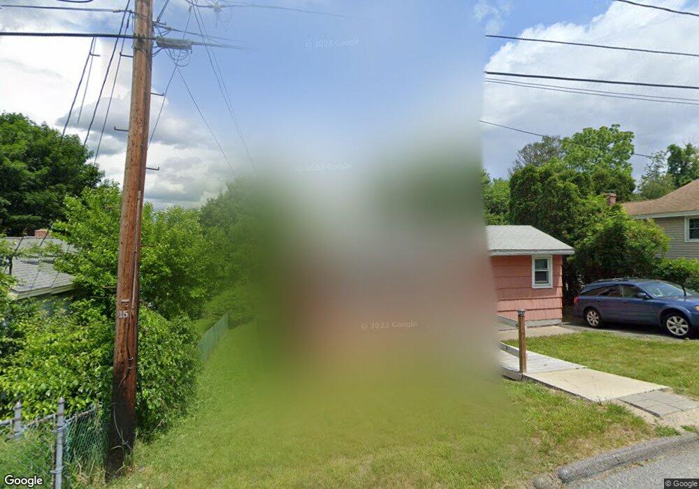
103 Andrews Ave Worcester, MA 01605
Estimated Value: $348,219 - $396,000
3
Beds
1
Bath
936
Sq Ft
$395/Sq Ft
Est. Value
About This Home
This home is located at 103 Andrews Ave, Worcester, MA 01605 and is currently estimated at $369,805, approximately $395 per square foot. 103 Andrews Ave is a home located in Worcester County with nearby schools including Jacob Hiatt Magnet School, Chandler Magnet, and Lincoln Street School.
Ownership History
Date
Name
Owned For
Owner Type
Purchase Details
Closed on
Dec 7, 2020
Sold by
Lamoureux Robert
Bought by
Lamoureux Robert G and Clapper Randall
Current Estimated Value
Purchase Details
Closed on
Feb 19, 1997
Sold by
Cloyd Theresa M and Forbes Carolyn F
Bought by
Buffone Paul J
Home Financials for this Owner
Home Financials are based on the most recent Mortgage that was taken out on this home.
Original Mortgage
$52,000
Interest Rate
7.8%
Mortgage Type
Purchase Money Mortgage
Purchase Details
Closed on
Feb 1, 1994
Sold by
Citicorp Mtg Inc
Bought by
Goldschmidt Andrew and Goldschmidt Dawn
Home Financials for this Owner
Home Financials are based on the most recent Mortgage that was taken out on this home.
Original Mortgage
$70,967
Interest Rate
7.11%
Mortgage Type
Purchase Money Mortgage
Purchase Details
Closed on
Mar 2, 1993
Sold by
Cruz Bobby Joe
Bought by
Citicorp Mtg Co
Purchase Details
Closed on
Dec 3, 1991
Sold by
Lajoie John M
Bought by
Mutual Bldrs Inc
Create a Home Valuation Report for This Property
The Home Valuation Report is an in-depth analysis detailing your home's value as well as a comparison with similar homes in the area
Home Values in the Area
Average Home Value in this Area
Purchase History
| Date | Buyer | Sale Price | Title Company |
|---|---|---|---|
| Lamoureux Robert G | -- | None Available | |
| Buffone Paul J | $48,000 | -- | |
| Goldschmidt Andrew | $72,000 | -- | |
| Citicorp Mtg Co | $63,210 | -- | |
| Mutual Bldrs Inc | $18,000 | -- |
Source: Public Records
Mortgage History
| Date | Status | Borrower | Loan Amount |
|---|---|---|---|
| Previous Owner | Buffone Paul J | $52,000 | |
| Previous Owner | Mutual Bldrs Inc | $70,967 |
Source: Public Records
Tax History Compared to Growth
Tax History
| Year | Tax Paid | Tax Assessment Tax Assessment Total Assessment is a certain percentage of the fair market value that is determined by local assessors to be the total taxable value of land and additions on the property. | Land | Improvement |
|---|---|---|---|---|
| 2025 | $3,589 | $272,100 | $97,900 | $174,200 |
| 2024 | $3,526 | $256,400 | $97,900 | $158,500 |
| 2023 | $3,393 | $236,600 | $85,100 | $151,500 |
| 2022 | $2,995 | $196,900 | $68,100 | $128,800 |
| 2021 | $2,857 | $175,500 | $54,500 | $121,000 |
| 2020 | $2,880 | $169,400 | $54,500 | $114,900 |
| 2019 | $2,704 | $150,200 | $49,000 | $101,200 |
| 2018 | $2,627 | $138,900 | $49,000 | $89,900 |
| 2017 | $2,639 | $137,300 | $49,000 | $88,300 |
| 2016 | $2,556 | $124,000 | $36,400 | $87,600 |
| 2015 | $2,489 | $124,000 | $36,400 | $87,600 |
| 2014 | $2,423 | $124,000 | $36,400 | $87,600 |
Source: Public Records
Map
Nearby Homes
- 9 Green Hill Ave
- 21 Trinity Ave
- 2 Selden St
- 3 Selden St
- 36 Melrose St
- 33 Denmark St
- 23 Viele Ave
- 19 Mckinley Rd
- 29 Tylee Ave
- 23 Ashton St
- 3 Huron Ave
- 5A Wigwam Hill Dr Unit A
- 8 Cherry Blossom Cir Unit 50
- 64 Wauwinet Rd
- 57 Pasadena Pkwy
- 91-93 Natural History Dr
- 10 Boylston St
- 655 Plantation St Unit 17 Bldg B
- 37 Kenwood Ave
- 119 Rodney St