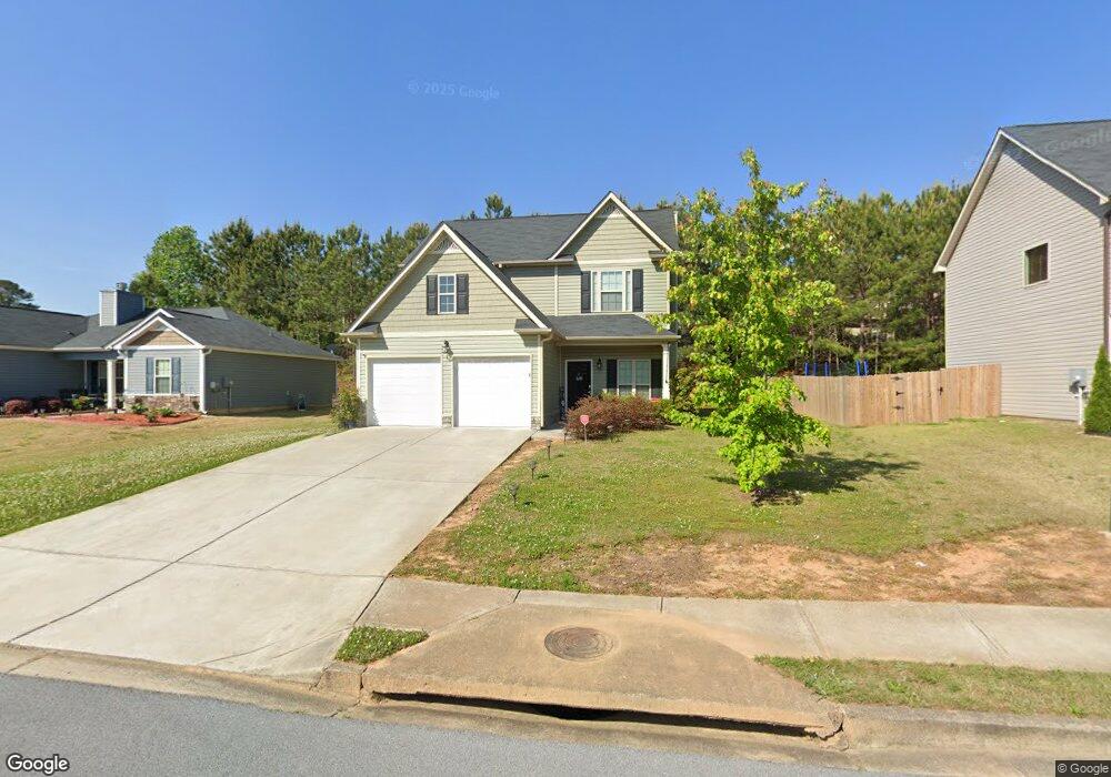
103 Andrews Ct Unit 25 Dallas, GA 30157
Estimated Value: $284,113 - $329,000
3
Beds
3
Baths
1,500
Sq Ft
$201/Sq Ft
Est. Value
About This Home
This home is located at 103 Andrews Ct Unit 25, Dallas, GA 30157 and is currently estimated at $302,028, approximately $201 per square foot. 103 Andrews Ct Unit 25 is a home located in Paulding County with nearby schools including Allgood Elementary School, Herschel Jones Middle School, and Paulding County High School.
Ownership History
Date
Name
Owned For
Owner Type
Purchase Details
Closed on
Sep 26, 2019
Sold by
Sfr Jv 1 Property Llc
Bought by
Sfr Jv 1 2019 1 Borrower Llc
Current Estimated Value
Purchase Details
Closed on
May 10, 2018
Sold by
Corradino Vito Joseph
Bought by
Tah Holding Lp
Purchase Details
Closed on
Nov 23, 2016
Sold by
Brushy Mountain Property Manag
Bought by
Corradino Vito Joseph
Home Financials for this Owner
Home Financials are based on the most recent Mortgage that was taken out on this home.
Original Mortgage
$147,283
Interest Rate
3.75%
Mortgage Type
FHA
Purchase Details
Closed on
Jul 20, 2016
Bought by
Brushy Mountain Property Manag
Home Financials for this Owner
Home Financials are based on the most recent Mortgage that was taken out on this home.
Original Mortgage
$95,950
Interest Rate
3.56%
Mortgage Type
New Conventional
Create a Home Valuation Report for This Property
The Home Valuation Report is an in-depth analysis detailing your home's value as well as a comparison with similar homes in the area
Home Values in the Area
Average Home Value in this Area
Purchase History
| Date | Buyer | Sale Price | Title Company |
|---|---|---|---|
| Sfr Jv 1 2019 1 Borrower Llc | -- | -- | |
| Tah Holding Lp | $168,000 | -- | |
| Corradino Vito Joseph | $150,000 | -- | |
| Brushy Mountain Property Manag | $16,125 | -- |
Source: Public Records
Mortgage History
| Date | Status | Borrower | Loan Amount |
|---|---|---|---|
| Previous Owner | Corradino Vito Joseph | $147,283 | |
| Previous Owner | Brushy Mountain Property Manag | $95,950 |
Source: Public Records
Tax History Compared to Growth
Tax History
| Year | Tax Paid | Tax Assessment Tax Assessment Total Assessment is a certain percentage of the fair market value that is determined by local assessors to be the total taxable value of land and additions on the property. | Land | Improvement |
|---|---|---|---|---|
| 2024 | $3,000 | $96,128 | $12,000 | $84,128 |
| 2023 | $2,907 | $96,128 | $12,000 | $84,128 |
| 2022 | $2,506 | $96,128 | $12,000 | $84,128 |
| 2021 | $2,115 | $72,768 | $8,000 | $64,768 |
| 2020 | $2,236 | $66,004 | $8,000 | $58,004 |
| 2019 | $2,200 | $64,128 | $8,000 | $56,128 |
| 2018 | $1,779 | $60,896 | $8,000 | $52,896 |
| 2017 | $1,942 | $57,576 | $8,000 | $49,576 |
| 2016 | $220 | $6,400 | $6,400 | $0 |
| 2015 | $86 | $2,800 | $2,800 | $0 |
| 2014 | $40 | $1,280 | $1,280 | $0 |
| 2013 | -- | $1,280 | $1,280 | $0 |
Source: Public Records
Map
Nearby Homes
- 306 Station Dr
- 218 Depot Ln
- 512 Oak View Ln
- 510 Oak View Ln
- 59 Santa Cruz Ct Unit 11
- 59 Santa Cruz Ct
- 508 Oak View Ln
- 62 Santa Cruz Ct Unit 12
- 62 Santa Cruz Ct
- 55 Santa Cruz Ct Unit 9
- 55 Santa Cruz Ct
- 309 Shawnee Trail Unit 17
- 309 Shawnee Trail
- 315 Shawnee Trail Unit 18
- 315 Shawnee Trail
- 302 Ivy Brook Dr
- 409 Ivy Terrace Dr
- 0 Santa Cruz Ct Unit LOT 7 10506627
- 0 Santa Cruz Ct Unit 7565435
- 500 Oak View Ln
- 103 Andrews Ct
- 103 Andrews Ct
- 101 Andrews Ct
- 105 Andrews Ct
- 102 Rockefeller Ln
- 100 Rockefeller Ln
- 104 Rockefeller Ln
- 301 Station Dr
- 102 Andrews Ct
- 0 Station Dr Unit 8021697
- 0 Station Dr Unit 8998385
- 0 Station Dr Unit 7304487
- 0 Station Dr Unit 7304473
- 0 Station Dr Unit 7304421
- 107 Andrews Ct
- 104 Andrews Ct Unit 41
- 104 Andrews Ct
- 12 Rockefeller Ln
- 106 Rockefeller Ln
- 0 Andrews Ct Unit 8436072