103 Apache Way Tewksbury, MA 01876
Estimated Value: $360,759 - $473,000
2
Beds
1
Bath
1,000
Sq Ft
$415/Sq Ft
Est. Value
About This Home
This home is located at 103 Apache Way, Tewksbury, MA 01876 and is currently estimated at $414,690, approximately $414 per square foot. 103 Apache Way is a home located in Middlesex County with nearby schools including Heath-Brook Elementary School, John W. Wynn Middle School, and John F. Ryan Elementary School.
Ownership History
Date
Name
Owned For
Owner Type
Purchase Details
Closed on
Jan 31, 2006
Sold by
Eap Rt
Bought by
Reid Linda M
Current Estimated Value
Home Financials for this Owner
Home Financials are based on the most recent Mortgage that was taken out on this home.
Original Mortgage
$120,000
Outstanding Balance
$68,114
Interest Rate
6.34%
Mortgage Type
Purchase Money Mortgage
Estimated Equity
$346,576
Create a Home Valuation Report for This Property
The Home Valuation Report is an in-depth analysis detailing your home's value as well as a comparison with similar homes in the area
Home Values in the Area
Average Home Value in this Area
Purchase History
| Date | Buyer | Sale Price | Title Company |
|---|---|---|---|
| Reid Linda M | $235,000 | -- |
Source: Public Records
Mortgage History
| Date | Status | Borrower | Loan Amount |
|---|---|---|---|
| Open | Reid Linda M | $120,000 |
Source: Public Records
Tax History
| Year | Tax Paid | Tax Assessment Tax Assessment Total Assessment is a certain percentage of the fair market value that is determined by local assessors to be the total taxable value of land and additions on the property. | Land | Improvement |
|---|---|---|---|---|
| 2025 | $4,615 | $349,100 | $0 | $349,100 |
| 2024 | $4,262 | $318,300 | $0 | $318,300 |
| 2023 | $4,099 | $290,700 | $0 | $290,700 |
| 2022 | $3,847 | $253,100 | $0 | $253,100 |
| 2021 | $3,770 | $239,800 | $0 | $239,800 |
| 2020 | $3,745 | $234,500 | $0 | $234,500 |
| 2019 | $3,211 | $202,700 | $0 | $202,700 |
| 2018 | $3,218 | $199,500 | $0 | $199,500 |
| 2017 | $3,024 | $185,400 | $0 | $185,400 |
| 2016 | $2,977 | $182,100 | $0 | $182,100 |
| 2015 | $2,675 | $163,400 | $0 | $163,400 |
| 2014 | $2,602 | $161,500 | $0 | $161,500 |
Source: Public Records
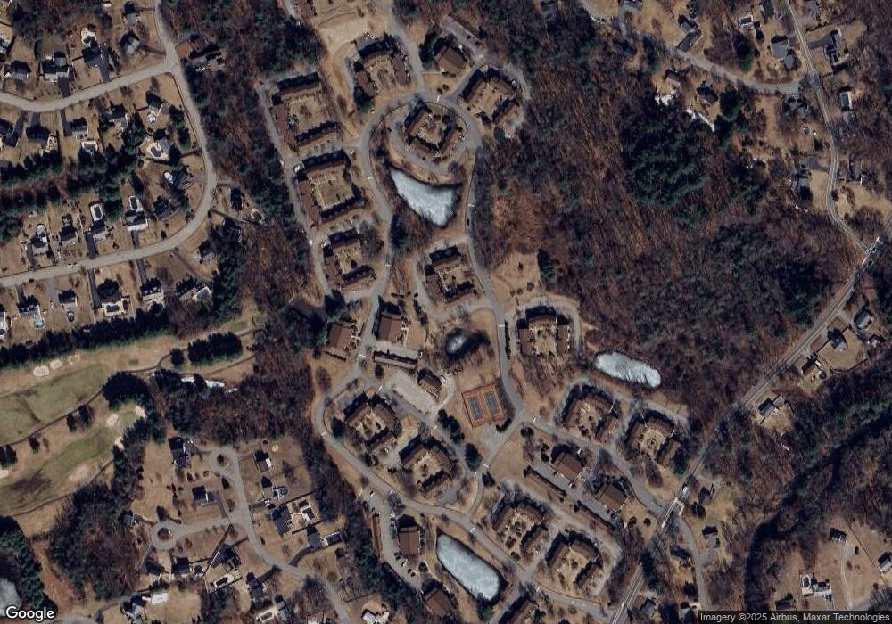
Map
Nearby Homes
- 72 Apache Way
- 258 Apache Way
- 127 Caddy Ct
- 107 Eagle Dr Unit 107
- 1101 South St
- 20 Kensington Way Unit 20
- 16 Eagle Dr
- 26 Ironwood Ln
- 50 Nolan Ct Unit 50
- 14 Jill's Way Unit 14
- 11 Orchard St
- 4 Villa Roma Dr
- 1325 Main
- 18 Knollwood Rd
- 29 Decarolis Dr
- 6 Hillcrest Rd
- 910 Livingston St
- 3 Coburn Ave
- 15 10th St
- 5 S Oliver St
- 108 Apache Way
- 107 Apache Way
- 106 Apache Way
- 105 Apache Way
- 104 Apache Way
- 102 Apache Way
- 101 Apache Way
- 100 Apache Way
- 98 Apache Way
- 97 Apache Way
- 98 Apache Way Unit 98
- 98 Apache Way Unit 98,1
- 83 Apache Way
- 82 Apache Way
- 81 Apache Way
- 112 Apache Way
- 111 Apache Way
- 110 Apache Way
- 111 Apache Way Unit 111
- 110 Apache Way Unit 110
Your Personal Tour Guide
Ask me questions while you tour the home.