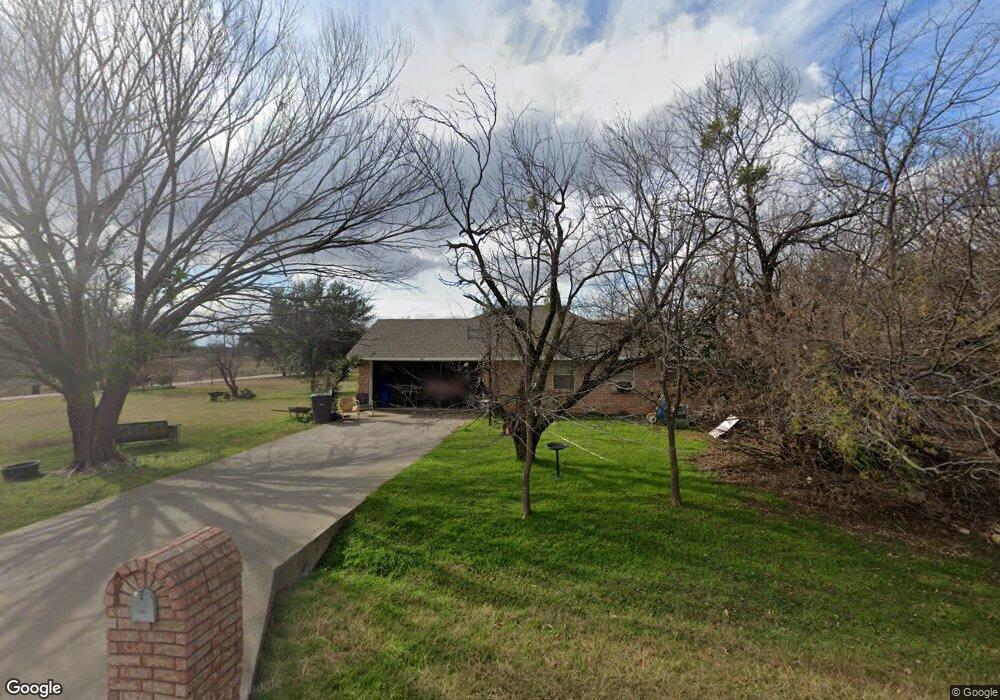
103 Appleton Dr Weatherford, TX 76088
Estimated Value: $362,327 - $551,000
--
Bed
--
Bath
1,321
Sq Ft
$319/Sq Ft
Est. Value
About This Home
This home is located at 103 Appleton Dr, Weatherford, TX 76088 and is currently estimated at $421,582, approximately $319 per square foot. 103 Appleton Dr is a home located in Parker County with nearby schools including Brock Intermediate School, Brock Junior High School, and Brock High School.
Ownership History
Date
Name
Owned For
Owner Type
Purchase Details
Closed on
Aug 7, 2006
Sold by
Miller A Bret and Miller Carolyn R
Bought by
Mccann Jamey B and Mccann Kathryn E
Current Estimated Value
Home Financials for this Owner
Home Financials are based on the most recent Mortgage that was taken out on this home.
Original Mortgage
$50,000
Interest Rate
6.41%
Mortgage Type
New Conventional
Purchase Details
Closed on
Jan 1, 1901
Bought by
Mccann Jamey B and Mccann Kathryn
Create a Home Valuation Report for This Property
The Home Valuation Report is an in-depth analysis detailing your home's value as well as a comparison with similar homes in the area
Home Values in the Area
Average Home Value in this Area
Purchase History
| Date | Buyer | Sale Price | Title Company |
|---|---|---|---|
| Mccann Jamey B | -- | Stnt | |
| Mccann Jamey B | -- | -- |
Source: Public Records
Mortgage History
| Date | Status | Borrower | Loan Amount |
|---|---|---|---|
| Closed | Mccann Jamey B | $50,000 |
Source: Public Records
Tax History Compared to Growth
Tax History
| Year | Tax Paid | Tax Assessment Tax Assessment Total Assessment is a certain percentage of the fair market value that is determined by local assessors to be the total taxable value of land and additions on the property. | Land | Improvement |
|---|---|---|---|---|
| 2025 | $1,133 | $296,232 | -- | -- |
| 2024 | $1,133 | $269,302 | -- | -- |
| 2023 | $1,133 | $244,820 | $0 | $0 |
| 2022 | $4,519 | $259,810 | $56,720 | $203,090 |
| 2021 | $4,320 | $259,810 | $56,720 | $203,090 |
| 2020 | $4,009 | $183,940 | $34,120 | $149,820 |
| 2019 | $4,006 | $183,940 | $34,120 | $149,820 |
| 2018 | $3,651 | $170,350 | $22,860 | $147,490 |
| 2017 | $3,262 | $170,350 | $22,860 | $147,490 |
| 2016 | $2,966 | $128,900 | $18,280 | $110,620 |
| 2015 | $2,124 | $128,900 | $18,280 | $110,620 |
| 2014 | $2,244 | $120,820 | $17,170 | $103,650 |
Source: Public Records
Map
Nearby Homes
- TBD Ellis Dr
- 2066 Ellis Dr
- 788 W Canyon Creek Ln
- 833 N Savage Creek Ln
- 4204 Greenwood Rd
- 673 E Canyon Creek Ln
- 125 Summer Stone Ct
- 101 Trail Ridge
- 112 Tigers Eye Ct
- 873 Canyon Creek Ln
- 120 Trail Ridge
- 2894 Ranger Hwy
- 209 Grace Ct
- 177 Pack Saddle Trail
- 1060 Kessler Rd
- 169 Pack Saddle Trail
- 2800 Ranger Hwy
- 111 Diamond Ridge Ln
- TBD Diamond Ridge Ln
- 234 Trail Ridge
- 7148 Ellis Dr
- 7080 Ellis Dr
- 115 Appleton Dr
- 1021 Llano Rd
- 00 Ellis Road A
- 00 Ellis Road D
- 00 Ellis Rd E
- TBD Ellis Dr Unit 70.446
- 00 Ellis Rd E Unit Tr. 2
- 00 Ellis Rd E Unit Tr. 6
- 00 Ellis Rd E Unit Tr. 5
- 7228 Ellis Dr
- 220 Appleton Dr
- 7010 Ellis Dr
- 7260 Ellis Dr
- 7225 Ellis Dr
- 290 Appleton Dr
- 307 Llano Rd
- 7308 Ellis Dr
- 7344 Ellis Dr