103 Ashborough Cir Dothan, AL 36301
Estimated Value: $322,445 - $367,000
4
Beds
2
Baths
2,023
Sq Ft
$172/Sq Ft
Est. Value
About This Home
This home is located at 103 Ashborough Cir, Dothan, AL 36301 and is currently estimated at $348,111, approximately $172 per square foot. 103 Ashborough Cir is a home located in Houston County with nearby schools including Dothan City Early Education Center, Heard Elementary School, and Dothan Preparatory Academy.
Ownership History
Date
Name
Owned For
Owner Type
Purchase Details
Closed on
May 14, 2020
Sold by
Adams William C and Adams Carmen S
Bought by
Mcclung David Phillips and Mcclung Nancy Field
Current Estimated Value
Purchase Details
Closed on
Nov 21, 2017
Sold by
Pittman Jill A and Pittman Randall Keith
Bought by
Adams Carmen S and Adams William C
Purchase Details
Closed on
Jan 4, 2006
Sold by
M & M Builders Llc
Bought by
Boone John David and Boone Melinda D
Create a Home Valuation Report for This Property
The Home Valuation Report is an in-depth analysis detailing your home's value as well as a comparison with similar homes in the area
Home Values in the Area
Average Home Value in this Area
Purchase History
| Date | Buyer | Sale Price | Title Company |
|---|---|---|---|
| Mcclung David Phillips | $260,000 | None Available | |
| Adams Carmen S | $255,000 | -- | |
| Boone John David | -- | -- |
Source: Public Records
Tax History Compared to Growth
Tax History
| Year | Tax Paid | Tax Assessment Tax Assessment Total Assessment is a certain percentage of the fair market value that is determined by local assessors to be the total taxable value of land and additions on the property. | Land | Improvement |
|---|---|---|---|---|
| 2024 | $1,042 | $28,480 | $0 | $0 |
| 2023 | $970 | $26,740 | $0 | $0 |
| 2022 | $833 | $25,660 | $0 | $0 |
| 2021 | $806 | $27,600 | $0 | $0 |
| 2020 | $1,676 | $48,580 | $0 | $0 |
| 2019 | $1,622 | $47,020 | $0 | $0 |
| 2018 | $755 | $23,380 | $0 | $0 |
| 2017 | $725 | $22,520 | $0 | $0 |
| 2016 | $725 | $0 | $0 | $0 |
| 2015 | $725 | $0 | $0 | $0 |
| 2014 | $725 | $0 | $0 | $0 |
Source: Public Records
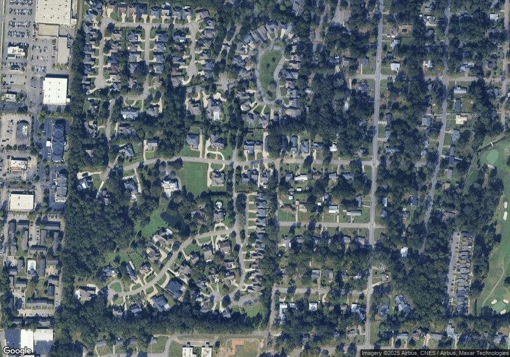
Map
Nearby Homes
- 510 Roosevelt Dr
- 1905 Van Buren St
- 612 Jamestown Blvd
- 115 Roosevelt Dr
- 407 Daniel Cir
- 2753 Ross Clark Cir
- 630 Ridgeland Rd
- 2203 Stonebridge Rd
- 2302 Stonebridge Rd
- 2301 Stonebridge Rd
- 2110 Stonebridge Rd
- 1709 Haisten Dr
- 313 Daniel Cir
- 2105 Stonebridge Rd
- 110 Heights Dr
- 2052 W Main St
- 2 Parkplace Ct
- 207 Kent Dr
- 2511 Stonebridge Rd
- 3208 Tennyson Dr
- 101 Ashborough Cir
- 105 Ashborough Cir
- 503 Jamestown Blvd
- 505 Jamestown Blvd
- 1911 Clark St
- 102 Ashborough Cir
- 104 Ashborough Cir
- 507 Jamestown Blvd
- 201 Ashborough Cir
- 100 Ashborough Cir
- 1912 Van Buren St
- 509 Jamestown Blvd
- 1914 Clark St
- 1909 Clark St
- 2 Middlefield Ln
- 511 Jamestown Blvd
- 1912 Clark St
- 202 Ashborough Cir
- 1910 Van Buren St
- 23 Ballestone Ct