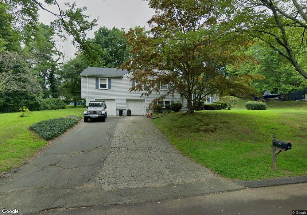
103 Barryscott Dr Fairfield, CT 06825
Fairfield Woods NeighborhoodEstimated Value: $648,000 - $749,000
5
Beds
3
Baths
1,567
Sq Ft
$443/Sq Ft
Est. Value
About This Home
This home is located at 103 Barryscott Dr, Fairfield, CT 06825 and is currently estimated at $694,410, approximately $443 per square foot. 103 Barryscott Dr is a home located in Fairfield County with nearby schools including Jennings Elementary School, Fairfield Woods Middle School, and Fairfield Warde High School.
Ownership History
Date
Name
Owned For
Owner Type
Purchase Details
Closed on
Oct 29, 2021
Sold by
Rubin Richard P
Bought by
Rubin Samuel B and Rubin Ariane A
Current Estimated Value
Home Financials for this Owner
Home Financials are based on the most recent Mortgage that was taken out on this home.
Original Mortgage
$451,250
Outstanding Balance
$411,498
Interest Rate
2.8%
Mortgage Type
Purchase Money Mortgage
Estimated Equity
$282,912
Purchase Details
Closed on
Aug 27, 2012
Sold by
Rubin Carole
Bought by
Rubin Richard
Home Financials for this Owner
Home Financials are based on the most recent Mortgage that was taken out on this home.
Original Mortgage
$417,302
Interest Rate
3.25%
Mortgage Type
FHA
Create a Home Valuation Report for This Property
The Home Valuation Report is an in-depth analysis detailing your home's value as well as a comparison with similar homes in the area
Home Values in the Area
Average Home Value in this Area
Purchase History
| Date | Buyer | Sale Price | Title Company |
|---|---|---|---|
| Rubin Samuel B | $475,000 | None Available | |
| Rubin Samuel B | $475,000 | None Available | |
| Rubin Richard | -- | -- | |
| Rubin Richard | -- | -- |
Source: Public Records
Mortgage History
| Date | Status | Borrower | Loan Amount |
|---|---|---|---|
| Open | Rubin Samuel B | $451,250 | |
| Closed | Rubin Samuel B | $451,250 | |
| Previous Owner | Rubin Richard | $416,000 | |
| Previous Owner | Rubin Richard | $417,302 |
Source: Public Records
Tax History
| Year | Tax Paid | Tax Assessment Tax Assessment Total Assessment is a certain percentage of the fair market value that is determined by local assessors to be the total taxable value of land and additions on the property. | Land | Improvement |
|---|---|---|---|---|
| 2025 | $9,233 | $325,220 | $242,550 | $82,670 |
| 2024 | $9,074 | $325,220 | $242,550 | $82,670 |
| 2023 | $8,947 | $325,220 | $242,550 | $82,670 |
| 2022 | $8,859 | $325,220 | $242,550 | $82,670 |
| 2021 | $8,774 | $325,220 | $242,550 | $82,670 |
| 2020 | $7,874 | $293,930 | $208,390 | $85,540 |
| 2019 | $7,874 | $293,930 | $208,390 | $85,540 |
| 2018 | $7,748 | $293,930 | $208,390 | $85,540 |
| 2017 | $7,589 | $293,930 | $208,390 | $85,540 |
| 2016 | $7,481 | $293,930 | $208,390 | $85,540 |
| 2015 | $7,484 | $301,910 | $219,380 | $82,530 |
| 2014 | $7,367 | $301,910 | $219,380 | $82,530 |
Source: Public Records
Map
Nearby Homes
- 164 Farist Rd
- 106 Stillson Rd
- 217 Fairland Dr
- 109 Katona Dr Unit 18
- 706 Judd St
- 210 Pansy Rd
- 12 Sugar Plum Ln
- 115 Mayfair Rd
- 41 Pepperbush Ln
- 1 Garden Dr
- 54 Ridgedale Rd
- 245 Reid St
- 21 Boroskey Rd
- 774 Fairfield Woods Rd
- 376 Knapps Hwy
- 108 Roseville St
- 100 Tuller Rd
- 28 Country Rd
- 359 Reid St
- 183 Vesper St
- 102 Barryscott Dr
- 132 Barryscott Dr
- 139 Barryscott Dr
- 55 Barryscott Dr
- 148 Barryscott Dr
- 213 Farist Rd
- 76 Barryscott Dr
- 15 Barryscott Dr
- 58 Barryscott Dr
- 167 Barryscott Dr
- 170 Barryscott Dr
- 252 Farist Rd
- 193 Farist Rd
- 46 Barryscott Dr
- 175 Farist Rd
- 192 Barryscott Dr
- 2000 Black Rock Turnpike
- 220 Farist Rd
- 22 Barryscott Dr
- 191 Barryscott Dr
Your Personal Tour Guide
Ask me questions while you tour the home.