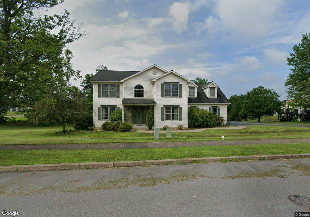
103 Brentwood Cir Bloomsburg, PA 17815
Estimated Value: $395,445 - $469,000
--
Bed
--
Bath
2,210
Sq Ft
$198/Sq Ft
Est. Value
About This Home
This home is located at 103 Brentwood Cir, Bloomsburg, PA 17815 and is currently estimated at $438,111, approximately $198 per square foot. 103 Brentwood Cir is a home located in Columbia County with nearby schools including Central Columbia Elementary School, Central Columbia Middle School, and Central Columbia Senior High School.
Ownership History
Date
Name
Owned For
Owner Type
Purchase Details
Closed on
Aug 31, 2018
Sold by
Chapman Kathleen and Douthat Stephen
Bought by
Rogers Zack and Rogers Megan
Current Estimated Value
Home Financials for this Owner
Home Financials are based on the most recent Mortgage that was taken out on this home.
Original Mortgage
$275,000
Outstanding Balance
$239,322
Interest Rate
4.5%
Mortgage Type
New Conventional
Estimated Equity
$198,789
Create a Home Valuation Report for This Property
The Home Valuation Report is an in-depth analysis detailing your home's value as well as a comparison with similar homes in the area
Home Values in the Area
Average Home Value in this Area
Purchase History
| Date | Buyer | Sale Price | Title Company |
|---|---|---|---|
| Rogers Zack | $315,000 | None Available |
Source: Public Records
Mortgage History
| Date | Status | Borrower | Loan Amount |
|---|---|---|---|
| Open | Rogers Zack | $275,000 |
Source: Public Records
Tax History Compared to Growth
Tax History
| Year | Tax Paid | Tax Assessment Tax Assessment Total Assessment is a certain percentage of the fair market value that is determined by local assessors to be the total taxable value of land and additions on the property. | Land | Improvement |
|---|---|---|---|---|
| 2025 | $4,478 | $64,355 | $0 | $0 |
| 2024 | $4,367 | $64,355 | $10,674 | $53,681 |
| 2023 | $4,174 | $64,355 | $10,674 | $53,681 |
| 2022 | $4,097 | $64,355 | $10,674 | $53,681 |
| 2021 | $4,061 | $64,355 | $10,674 | $53,681 |
| 2020 | $3,922 | $64,355 | $10,674 | $53,681 |
| 2019 | $3,702 | $62,021 | $10,674 | $51,347 |
| 2018 | $3,690 | $62,021 | $10,674 | $51,347 |
| 2017 | $4,228 | $62,021 | $10,674 | $51,347 |
| 2016 | -- | $62,021 | $10,674 | $51,347 |
| 2015 | -- | $62,021 | $10,674 | $51,347 |
| 2014 | -- | $62,021 | $10,674 | $51,347 |
Source: Public Records
Map
Nearby Homes
- 63 Brentwood Cir
- 135 Ash St
- 107 E Pebble Ln
- 34 Fowlersville Rd
- 14 Fowlersville Rd
- 139 Rotary St
- 21 Levi St
- 568 Beilys Rd
- 0 Alliance Park Dr
- 0 Alliance Park Lot 6 Dr
- LOT #3 Sawmill Rd
- 53 Fox Hollow Rd
- 238 Horse Farm Rd
- 9 Crestmont Cir
- 11 Amanda Dr
- 56 Whitmire Rd
- 2882 Lackawanna Ave
- 1251 Chestnut St
- 1246 Cherry St
- 1277 Cherry St
- 101 Brentwood Cir
- 91 Fowlersville Rd
- 96 Brentwood Cir
- 6 Sundale Dr
- 94 Brentwood Cir
- 3 Sundale Dr
- 87 Fowlersville Rd
- 99 Brentwood Cir
- 101 Terrace Dr
- 92 Brentwood Cir
- 49 Brentwood Cir
- 83 Fowlersville Rd
- 90 Brentwood Cir
- 97 Brentwood Cir
- 10 Sundale Dr
- 116 Fowlersville Rd
- 107 Terrace Dr
- 50 Brentwood Cir
- 11 Sundale Dr
- 79 Fowlersville Rd