103 Buchanan Dr Warner Robins, GA 31088
Estimated Value: $289,000 - $335,000
3
Beds
2
Baths
2,390
Sq Ft
$131/Sq Ft
Est. Value
About This Home
This home is located at 103 Buchanan Dr, Warner Robins, GA 31088 and is currently estimated at $312,154, approximately $130 per square foot. 103 Buchanan Dr is a home located in Houston County with nearby schools including David A. Perdue Primary School, David A. Perdue Elementary School, and Feagin Mill Middle School.
Ownership History
Date
Name
Owned For
Owner Type
Purchase Details
Closed on
May 27, 2014
Sold by
Peterson Katherine B
Bought by
Peterson Katherine B and Peterson Charles H
Current Estimated Value
Purchase Details
Closed on
Aug 8, 2000
Sold by
Buckman Charles E Estate
Bought by
Buckman Margaret F
Purchase Details
Closed on
Sep 5, 1997
Sold by
Buckman Charles E and Margaret F*
Bought by
Buckman Margaret and Charles E*
Purchase Details
Closed on
Nov 19, 1974
Sold by
Buchanan Riley and Lily June
Bought by
Buckman Charles E and Margaret F*
Create a Home Valuation Report for This Property
The Home Valuation Report is an in-depth analysis detailing your home's value as well as a comparison with similar homes in the area
Home Values in the Area
Average Home Value in this Area
Purchase History
| Date | Buyer | Sale Price | Title Company |
|---|---|---|---|
| Peterson Katherine B | -- | -- | |
| Peterson Katherine B | $100,000 | -- | |
| Buckman Margaret F | -- | -- | |
| Buckman Margaret | -- | -- | |
| Buckman Charles E | $16,500 | -- |
Source: Public Records
Tax History Compared to Growth
Tax History
| Year | Tax Paid | Tax Assessment Tax Assessment Total Assessment is a certain percentage of the fair market value that is determined by local assessors to be the total taxable value of land and additions on the property. | Land | Improvement |
|---|---|---|---|---|
| 2024 | $2,061 | $88,160 | $12,600 | $75,560 |
| 2023 | $1,701 | $72,360 | $12,600 | $59,760 |
| 2022 | $1,596 | $66,040 | $12,600 | $53,440 |
| 2021 | $1,269 | $52,240 | $11,320 | $40,920 |
| 2020 | $1,229 | $50,240 | $11,320 | $38,920 |
| 2019 | $1,226 | $50,240 | $11,320 | $38,920 |
| 2018 | $1,226 | $50,240 | $11,320 | $38,920 |
| 2017 | $1,227 | $50,240 | $11,320 | $38,920 |
| 2016 | $1,229 | $50,240 | $11,320 | $38,920 |
| 2015 | $1,232 | $50,240 | $11,320 | $38,920 |
| 2014 | -- | $50,240 | $11,320 | $38,920 |
| 2013 | -- | $50,240 | $11,320 | $38,920 |
Source: Public Records
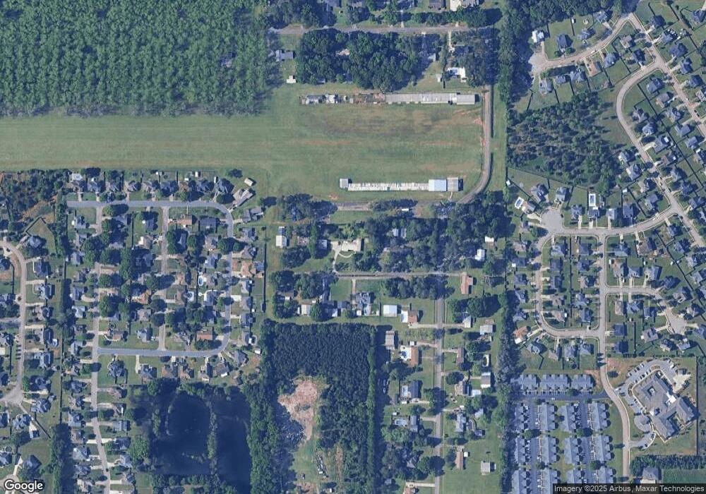
Map
Nearby Homes
- 207 Courthouse Ln
- 110 Mayberry Ln
- 108 Mayberry Ln
- 104 Mayberry Ln
- 1148 Thornblade Dr
- 102 Mayberry Ln
- 102 Mayberry Ln Unit LOT 1 MB
- 404 Minter Dr
- 112 Ballyhara
- 401 Bella Notte Cir Unit 5D
- 401 Bella Notte Cir
- 414 Bella Notte Cir
- 414 Bella Notte Cir Unit 23A
- 416 Bella Notte Cir
- 416 Bella Notte Cir Unit 22A
- 418 Bella Notte Cir Unit 21A
- 409 Bella Notte Cir Unit 1D
- 409 Bella Notte Cir
- 500 Bella Notte Cir Unit 16A
- 500 Bella Notte Cir
- 0 Buchanan Dr Unit 8212993
- 106 Buchanan Dr
- 0 Air Park Dr Unit 8084173
- 0 Air Park Dr
- 102 Buchanan Dr
- 101 Buchanan Dr
- 100 Buchanan Dr
- 108 Buchanan Dr
- 1126 Thornblade Dr
- 1128 Thornblade Dr
- 117 Air Park Dr
- 1124 Thornblade Dr
- 1130 Thornblade Dr
- 1122 Thornblade Dr
- 115 Air Park Dr
- 1120 Thornblade Dr
- 1132 Thornblade Dr
- 1118 Thornblade Dr
- 1116 Thornblade Dr
- 1125 Thornblade Dr