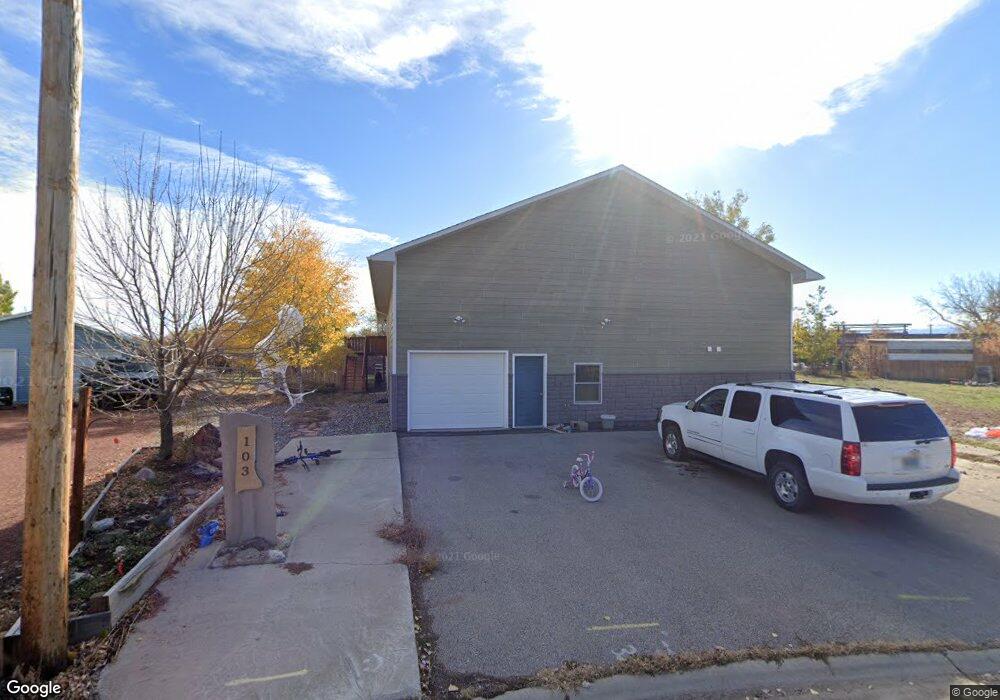
103 Carl St Ranchester, WY 82839
Estimated Value: $587,000 - $638,464
3
Beds
5
Baths
2,940
Sq Ft
$206/Sq Ft
Est. Value
About This Home
This home is located at 103 Carl St, Ranchester, WY 82839 and is currently estimated at $606,821, approximately $206 per square foot. 103 Carl St is a home.
Ownership History
Date
Name
Owned For
Owner Type
Purchase Details
Closed on
Jul 24, 2019
Sold by
Lanka Brad and Lanka Susan
Bought by
George Mark Bruce and George Rebecca Jenae
Current Estimated Value
Home Financials for this Owner
Home Financials are based on the most recent Mortgage that was taken out on this home.
Original Mortgage
$401,000
Outstanding Balance
$350,658
Interest Rate
3.73%
Mortgage Type
VA
Estimated Equity
$256,163
Create a Home Valuation Report for This Property
The Home Valuation Report is an in-depth analysis detailing your home's value as well as a comparison with similar homes in the area
Home Values in the Area
Average Home Value in this Area
Purchase History
| Date | Buyer | Sale Price | Title Company |
|---|---|---|---|
| George Mark Bruce | -- | Sheridan County Ttl Ins Agcy |
Source: Public Records
Mortgage History
| Date | Status | Borrower | Loan Amount |
|---|---|---|---|
| Open | George Mark Bruce | $401,000 |
Source: Public Records
Tax History Compared to Growth
Tax History
| Year | Tax Paid | Tax Assessment Tax Assessment Total Assessment is a certain percentage of the fair market value that is determined by local assessors to be the total taxable value of land and additions on the property. | Land | Improvement |
|---|---|---|---|---|
| 2025 | $4,576 | $47,698 | $13,370 | $34,328 |
| 2024 | $4,358 | $63,113 | $17,969 | $45,144 |
| 2023 | $4,351 | $63,007 | $17,262 | $45,745 |
| 2022 | $3,521 | $51,568 | $11,945 | $39,623 |
| 2021 | $2,976 | $41,044 | $6,379 | $34,665 |
| 2020 | $2,859 | $39,436 | $6,318 | $33,118 |
| 2019 | $2,457 | $33,886 | $6,318 | $27,568 |
| 2018 | $2,016 | $27,801 | $6,198 | $21,603 |
| 2017 | $0 | $27,987 | $6,198 | $21,789 |
| 2015 | -- | $24,223 | $7,463 | $16,760 |
| 2014 | -- | $23,823 | $7,463 | $16,360 |
| 2013 | -- | $24,854 | $7,463 | $17,391 |
Source: Public Records
Map
Nearby Homes
- 1359 Stone Ridge Dr
- 947 W Halbert St
- 476 4th Ave W
- 104 Trails Cir W
- 345 Highway St
- 1358 Stone Ridge Dr
- 1370 Stone Ridge Dr
- 415 Brook St
- 1452 Stone Ridge Dr
- 1461 Stone Ridge Dr
- 6 Teton Ln
- 1403 Windsor Dr Unit B
- 2 Teton Ln
- 24 Sawtooth Ln
- 4 Lyric Dr
- 100 River Rd
- 377 Early Creek Rd
- 188 Early Creek Rd Unit A
- 188 Early Creek Rd Unit B
- 53 Kelly Ln