103 Cedar Pointe Rd Metter, GA 30439
Estimated Value: $355,000 - $476,000
4
Beds
4
Baths
2,621
Sq Ft
$159/Sq Ft
Est. Value
About This Home
This home is located at 103 Cedar Pointe Rd, Metter, GA 30439 and is currently estimated at $415,760, approximately $158 per square foot. 103 Cedar Pointe Rd is a home located in Candler County with nearby schools including Metter Elementary School, Metter Intermediate School, and Metter Middle School.
Ownership History
Date
Name
Owned For
Owner Type
Purchase Details
Closed on
Jul 27, 2012
Sold by
Sparks Saundra R
Bought by
Carter Brent C and Carter Candace W
Current Estimated Value
Home Financials for this Owner
Home Financials are based on the most recent Mortgage that was taken out on this home.
Original Mortgage
$213,066
Interest Rate
3.68%
Mortgage Type
New Conventional
Purchase Details
Closed on
Oct 28, 2002
Sold by
Sparks Joe
Bought by
Sparks Saundra
Purchase Details
Closed on
Dec 1, 1995
Bought by
Sparks Joe and Sparks Saudra
Create a Home Valuation Report for This Property
The Home Valuation Report is an in-depth analysis detailing your home's value as well as a comparison with similar homes in the area
Home Values in the Area
Average Home Value in this Area
Purchase History
| Date | Buyer | Sale Price | Title Company |
|---|---|---|---|
| Carter Brent C | $250,000 | -- | |
| Sparks Saundra | -- | -- | |
| Sparks Joe | $19,500 | -- |
Source: Public Records
Mortgage History
| Date | Status | Borrower | Loan Amount |
|---|---|---|---|
| Closed | Carter Brent C | $213,066 |
Source: Public Records
Tax History Compared to Growth
Tax History
| Year | Tax Paid | Tax Assessment Tax Assessment Total Assessment is a certain percentage of the fair market value that is determined by local assessors to be the total taxable value of land and additions on the property. | Land | Improvement |
|---|---|---|---|---|
| 2024 | $4,064 | $134,668 | $8,280 | $126,388 |
| 2023 | $4,064 | $129,592 | $8,280 | $121,312 |
| 2022 | $3,423 | $111,184 | $8,280 | $102,904 |
| 2021 | $2,981 | $96,632 | $8,280 | $88,352 |
| 2020 | $2,915 | $93,886 | $8,280 | $85,606 |
| 2019 | $2,958 | $95,140 | $8,280 | $86,860 |
| 2018 | $2,478 | $88,958 | $8,280 | $80,678 |
| 2017 | $2,613 | $99,894 | $8,280 | $91,614 |
| 2016 | $3,002 | $99,894 | $8,280 | $91,614 |
| 2015 | $2,867 | $100,540 | $8,280 | $92,260 |
| 2014 | $2,867 | $100,540 | $8,280 | $92,260 |
Source: Public Records
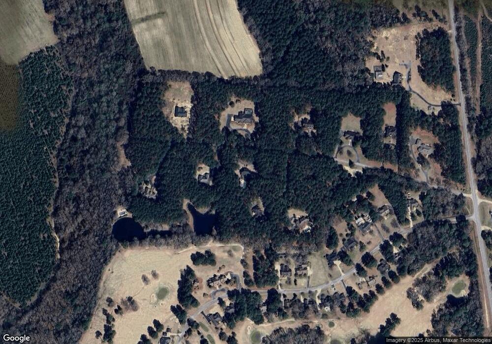
Map
Nearby Homes
- 150 W Willow Lake Dr
- 1449 Hulsey Dr
- 465 Cedar St
- 4515 Harper Rd
- 40 Hickory St
- 0 Central Ave Unit 10628403
- 250 S Lewis St
- 295 S Lewis St
- 405 Preston St
- 365 S Leroy St
- 450 S Rountree St
- 405 S Leroy St
- 550 S Rountree St
- 286 Webb Cir
- 760 Memphis Rd
- 527 Windmill Rd
- 14450 Stillmore Hwy
- 0 Oak Tree Rd Unit (31.62 AC) 10490874
- 3770 Hill Rd
- 26844 Georgia 46
- 104 Cedar Pointe Rd
- 107 Cedar Pointe Rd
- 105 Cedar Pointe Rd
- 202 Shadowood Dr
- 102 Cedar Pointe Rd
- 205 Shadowood Dr
- 229 Golf Club Dr
- 221 Golf Club Dr
- 0 Golf Club Dr Unit 30 8371809
- 0 Golf Club Dr Unit LOT 17 3119950
- 0 Golf Club Dr Unit 17 (0.62AC) 7598984
- 0 Golf Club Dr Unit 30 8992695
- 0 Golf Club Dr Unit 8762209
- 0 Golf Club Dr Unit 7286483
- 0 Golf Club Dr Unit 8242655
- 0 Golf Club Dr Unit 8277278
- 0 Golf Club Dr Unit 8384792
- 0 Golf Club Dr Unit 8504521
- 219 Golf Club Dr
- 226 Golf Club Dr