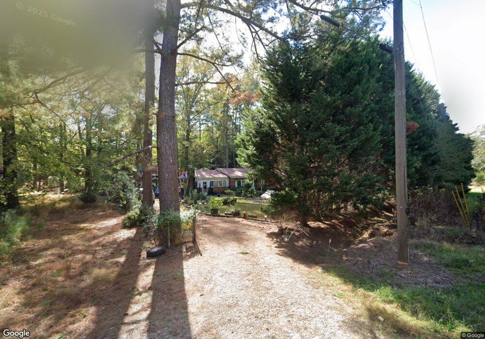
103 Cedarcrest Rd Lagrange, GA 30240
Estimated Value: $177,805 - $225,000
3
Beds
2
Baths
1,381
Sq Ft
$146/Sq Ft
Est. Value
About This Home
This home is located at 103 Cedarcrest Rd, Lagrange, GA 30240 and is currently estimated at $201,201, approximately $145 per square foot. 103 Cedarcrest Rd is a home located in Troup County with nearby schools including Berta Weathersbee Elementary School, Long Cane Elementary School, and Whitesville Road Elementary School.
Ownership History
Date
Name
Owned For
Owner Type
Purchase Details
Closed on
Dec 22, 2005
Sold by
Cavender Alan Keith
Bought by
Cavender Alan Keith and Harris Leslie A
Current Estimated Value
Purchase Details
Closed on
Jul 28, 2004
Sold by
Larry Lee Cavender
Bought by
Cavender Alan Keith
Purchase Details
Closed on
Jul 19, 2004
Sold by
Keith Cavender
Bought by
Larry Lee Cavender
Purchase Details
Closed on
Jun 8, 2004
Sold by
Cavender Roy Lee
Bought by
Keith Cavender
Purchase Details
Closed on
Apr 8, 2003
Sold by
Roy L Cavender
Bought by
Cavender Roy Lee
Purchase Details
Closed on
Jan 1, 1970
Bought by
Roy L Cavender
Create a Home Valuation Report for This Property
The Home Valuation Report is an in-depth analysis detailing your home's value as well as a comparison with similar homes in the area
Purchase History
| Date | Buyer | Sale Price | Title Company |
|---|---|---|---|
| Cavender Alan Keith | -- | -- | |
| Cavender Alan Keith | -- | -- | |
| Larry Lee Cavender | -- | -- | |
| Keith Cavender | -- | -- | |
| Cavender Roy Lee | -- | -- | |
| Roy L Cavender | $18,000 | -- |
Source: Public Records
Tax History
| Year | Tax Paid | Tax Assessment Tax Assessment Total Assessment is a certain percentage of the fair market value that is determined by local assessors to be the total taxable value of land and additions on the property. | Land | Improvement |
|---|---|---|---|---|
| 2025 | $1,250 | $49,800 | $8,000 | $41,800 |
| 2024 | $1,151 | $44,200 | $8,000 | $36,200 |
| 2023 | $1,170 | $44,880 | $8,000 | $36,880 |
| 2022 | $998 | $37,760 | $3,480 | $34,280 |
| 2021 | $793 | $28,280 | $2,840 | $25,440 |
| 2020 | $793 | $28,280 | $2,840 | $25,440 |
| 2019 | $726 | $26,060 | $3,700 | $22,360 |
| 2018 | $692 | $24,940 | $3,700 | $21,240 |
| 2017 | $692 | $24,940 | $3,700 | $21,240 |
| 2016 | $678 | $24,474 | $3,700 | $20,774 |
| 2015 | $680 | $24,474 | $3,700 | $20,774 |
| 2014 | $649 | $23,424 | $3,700 | $19,724 |
| 2013 | -- | $24,640 | $3,700 | $20,940 |
Source: Public Records
Map
Nearby Homes
- 509 Connie Dr
- 112 Foxdale Dr
- 124 Foxdale Dr
- 427 Fling Rd
- 808 S Fling Rd
- 8 Horace Carter Rd
- 0 Glass Bridge Rd Unit 10679358
- 120 Huntington Dr
- 0 Bradfield Dr Unit 10568803
- 266 Glass Bridge Rd
- 135 Planters Ridge Dr
- 2239 Pegasus Pkwy
- 640 Hudson Rd
- 336 Whitaker Rd
- 4.5 ACRES Whatley Rd N
- 0 Deming St Unit 10550189
- 0 Salem Rd Tract 2 Unit 10675187
- 22 Freeman Rd
- 105 Redwood Dr
- 119 Plymouth Dr
Your Personal Tour Guide
Ask me questions while you tour the home.