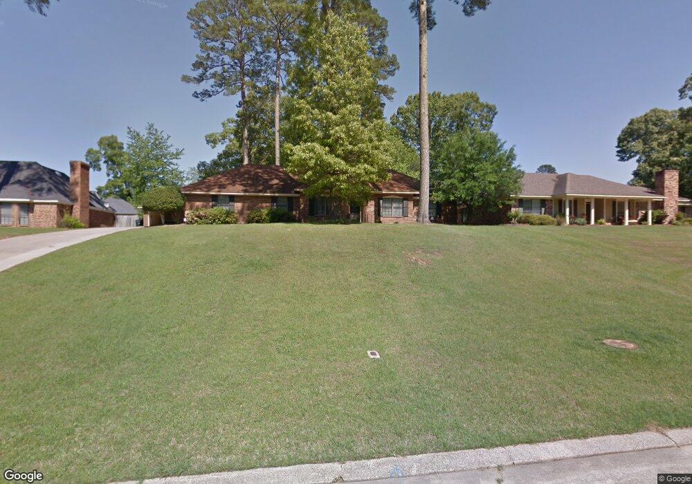
103 Comanche Cir West Monroe, LA 71291
Estimated Value: $284,000 - $388,000
5
Beds
3
Baths
5,000
Sq Ft
$66/Sq Ft
Est. Value
About This Home
This home is located at 103 Comanche Cir, West Monroe, LA 71291 and is currently estimated at $329,118, approximately $65 per square foot. 103 Comanche Cir is a home located in Ouachita Parish with nearby schools including Kiroli Elementary School, Good Hope Middle School, and West Monroe High School.
Ownership History
Date
Name
Owned For
Owner Type
Purchase Details
Closed on
Mar 17, 2022
Sold by
Gene Banks Don and Moore Sharlaski
Bought by
Town & Country Rental Properties Iii Llc
Current Estimated Value
Purchase Details
Closed on
Apr 26, 2005
Sold by
Wilson Steven Randall
Bought by
Banks Don Gene and Banks Sharlaski Moore
Home Financials for this Owner
Home Financials are based on the most recent Mortgage that was taken out on this home.
Original Mortgage
$183,524
Interest Rate
5.93%
Mortgage Type
FHA
Create a Home Valuation Report for This Property
The Home Valuation Report is an in-depth analysis detailing your home's value as well as a comparison with similar homes in the area
Home Values in the Area
Average Home Value in this Area
Purchase History
| Date | Buyer | Sale Price | Title Company |
|---|---|---|---|
| Town & Country Rental Properties Iii Llc | $250,000 | First Security Title | |
| Banks Don Gene | $189,200 | None Available |
Source: Public Records
Mortgage History
| Date | Status | Borrower | Loan Amount |
|---|---|---|---|
| Previous Owner | Banks Don Gene | $183,524 |
Source: Public Records
Tax History Compared to Growth
Tax History
| Year | Tax Paid | Tax Assessment Tax Assessment Total Assessment is a certain percentage of the fair market value that is determined by local assessors to be the total taxable value of land and additions on the property. | Land | Improvement |
|---|---|---|---|---|
| 2024 | $2,716 | $33,166 | $3,500 | $29,666 |
| 2023 | $2,566 | $27,338 | $3,500 | $23,838 |
| 2022 | $2,110 | $27,338 | $3,500 | $23,838 |
| 2021 | $1,752 | $22,708 | $2,988 | $19,720 |
| 2020 | $1,752 | $22,708 | $2,988 | $19,720 |
| 2019 | $1,753 | $22,708 | $2,988 | $19,720 |
| 2018 | $1,238 | $22,708 | $2,988 | $19,720 |
| 2017 | $1,753 | $22,708 | $2,988 | $19,720 |
| 2016 | $1,752 | $22,708 | $2,988 | $19,720 |
| 2015 | $1,232 | $22,708 | $2,988 | $19,720 |
| 2014 | $1,232 | $22,708 | $2,988 | $19,720 |
| 2013 | $1,227 | $22,708 | $2,988 | $19,720 |
Source: Public Records
Map
Nearby Homes
- 701 Kiroli Rd
- 133 Northwood Cir
- 379 Good Hope Rd
- 513 Nichols Dr
- 1404 Goodhope Rd
- 1619 Arkansas Rd
- 112 W Highland Ave
- 402 Nichols Dr
- 00 W Highland Ave
- 613 Nichols Dr
- 603 Nichols Dr
- 606 Nichols Place
- 17 Sebron Ln
- 0 Good Hope Rd
- 122 Mizell Ln
- 1509 Dean Chapel Rd
- 105 Maple Brook Cir
- 126 Steeplechase Cir
- 2300 Rainbow Dr
- 1402 Good Hope Cir
- 101 Comanche Cir
- 105 Comanche Cir
- 204 Tupawek Dr
- 102 Choctaw Dr
- 102 Comanche Cir
- 206 Tupawek Dr
- 100 Comanche Cir
- 104 Choctaw Dr
- 107 Comanche Cir
- 104 Comanche Cir
- 106 Comanche Cir
- 208 Tupawek Dr
- 106 Choctaw Dr
- 203 Tupawek Dr
- 103 Arapaho Cir
- 201 Tupawek Dr
- 108 Choctaw Dr
- 105 Arapaho Cir
- 207 Tupawek Dr
- 107 Tupawek Dr