103 Deacon Shattuck Way Unit 245 Westborough, MA 01581
Estimated Value: $312,465 - $446,000
2
Beds
2
Baths
1,154
Sq Ft
$311/Sq Ft
Est. Value
About This Home
This home is located at 103 Deacon Shattuck Way Unit 245, Westborough, MA 01581 and is currently estimated at $359,366, approximately $311 per square foot. 103 Deacon Shattuck Way Unit 245 is a home located in Worcester County with nearby schools including Westborough High School, Al-Hamra Academy, and Ebridge Montessori School.
Ownership History
Date
Name
Owned For
Owner Type
Purchase Details
Closed on
Feb 23, 2017
Sold by
Toll Ma 2 Llc
Bought by
Parsi Krishna M
Current Estimated Value
Home Financials for this Owner
Home Financials are based on the most recent Mortgage that was taken out on this home.
Original Mortgage
$152,475
Outstanding Balance
$126,264
Interest Rate
4.12%
Mortgage Type
New Conventional
Estimated Equity
$233,102
Create a Home Valuation Report for This Property
The Home Valuation Report is an in-depth analysis detailing your home's value as well as a comparison with similar homes in the area
Home Values in the Area
Average Home Value in this Area
Purchase History
| Date | Buyer | Sale Price | Title Company |
|---|---|---|---|
| Parsi Krishna M | $160,500 | -- |
Source: Public Records
Mortgage History
| Date | Status | Borrower | Loan Amount |
|---|---|---|---|
| Open | Parsi Krishna M | $152,475 |
Source: Public Records
Tax History Compared to Growth
Tax History
| Year | Tax Paid | Tax Assessment Tax Assessment Total Assessment is a certain percentage of the fair market value that is determined by local assessors to be the total taxable value of land and additions on the property. | Land | Improvement |
|---|---|---|---|---|
| 2025 | $3,918 | $240,488 | $0 | $240,488 |
| 2024 | $4,105 | $250,124 | $0 | $250,124 |
| 2023 | $3,939 | $233,928 | $0 | $233,928 |
| 2022 | $3,745 | $202,560 | $0 | $202,560 |
| 2021 | $3,733 | $201,330 | $0 | $201,330 |
| 2020 | $2,935 | $160,200 | $0 | $160,200 |
| 2019 | $2,936 | $160,200 | $0 | $160,200 |
| 2018 | $2,957 | $160,200 | $0 | $160,200 |
| 2017 | $3,325 | $186,800 | $0 | $186,800 |
| 2016 | $3,517 | $197,900 | $0 | $197,900 |
Source: Public Records
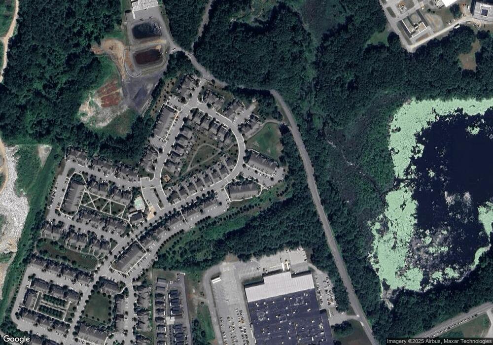
Map
Nearby Homes
- 457 Walnut St
- 8 Arch St
- 49 Arch St Unit 2
- 64 Arch St
- 10 Falcon Dr
- 603 South St
- 24 Brook St
- 10 Linda St
- 562 South St
- 11 Hillside Rd
- 17 Olde Hickory Path
- 85 Commons Dr Unit 210
- 65 Commons Dr Unit 502
- 65 Commons Dr Unit 410
- 22 Hitching Post Ln
- 45 Lebeaux Dr
- 29 Lebeaux Dr
- 59 Indian Meadow Dr
- 71 Nourse St
- 30 Old Nourse St
- 115 Corning Fairbanks Way Unit 115
- 3116 Townsend Blvd Unit 16
- 2112 Simeon Howard Way Unit 12
- 104 Corning Fairbanks Way Unit 104
- 28 Moses Wheelock Ln Unit 28
- 104 Corning Fairbanks Way
- 115 Deacon Shattuck Way Unit 115
- 101 Corning Fairbanks Way Unit 101
- 102 Corning Fairbanks Way Unit 148
- 29 Moses Wheelock Ln Unit 29
- 202 Corning Fairbanks Way Unit 164
- 215 Deacon Shattuck Way Unit 215
- 112 Deacon Shattuck Way Unit 254
- 3101 Townsend Blvd Unit 3101
- 210 Deacon Shattuck Way Unit 210
- 49 Townsend Blvd Unit Lot 114
- 116 Deacon Shattuck Way Unit 258
- 109 Deacon Shattuck Way Unit 251
- 101 Deacon Shattuck Way Unit 243
- 107 Deacon Shattuck Way Unit 249