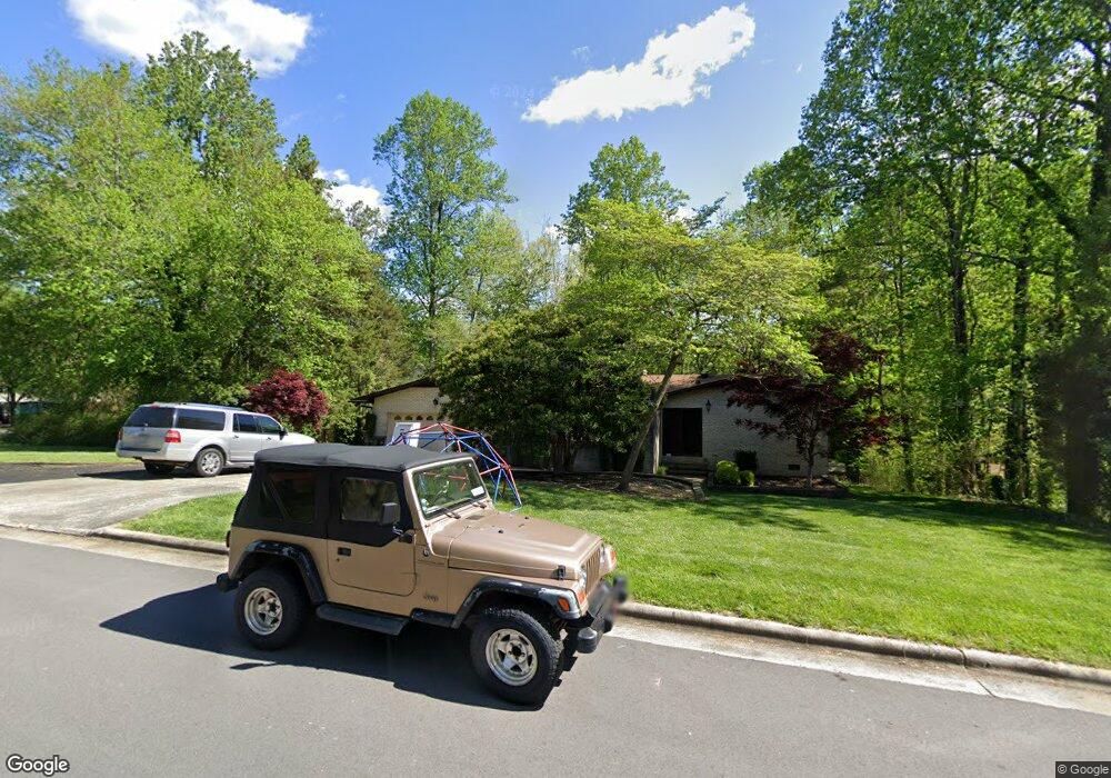
103 Devon Rd Jamestown, NC 27282
Estimated Value: $419,000 - $495,000
4
Beds
4
Baths
3,808
Sq Ft
$122/Sq Ft
Est. Value
About This Home
This home is located at 103 Devon Rd, Jamestown, NC 27282 and is currently estimated at $464,640, approximately $122 per square foot. 103 Devon Rd is a home located in Guilford County with nearby schools including Jamestown Elementary School, Jamestown Middle School, and Ragsdale High School.
Ownership History
Date
Name
Owned For
Owner Type
Purchase Details
Closed on
Jun 15, 2007
Sold by
Labis George H and Labis Emmaleen B
Bought by
Bond Eric R and Bond Mary S
Current Estimated Value
Home Financials for this Owner
Home Financials are based on the most recent Mortgage that was taken out on this home.
Original Mortgage
$208,800
Outstanding Balance
$127,556
Interest Rate
6.16%
Mortgage Type
New Conventional
Estimated Equity
$337,084
Create a Home Valuation Report for This Property
The Home Valuation Report is an in-depth analysis detailing your home's value as well as a comparison with similar homes in the area
Home Values in the Area
Average Home Value in this Area
Purchase History
| Date | Buyer | Sale Price | Title Company |
|---|---|---|---|
| Bond Eric R | $263,000 | None Available |
Source: Public Records
Mortgage History
| Date | Status | Borrower | Loan Amount |
|---|---|---|---|
| Open | Bond Eric R | $208,800 |
Source: Public Records
Tax History
| Year | Tax Paid | Tax Assessment Tax Assessment Total Assessment is a certain percentage of the fair market value that is determined by local assessors to be the total taxable value of land and additions on the property. | Land | Improvement |
|---|---|---|---|---|
| 2025 | $4,396 | $324,300 | $55,000 | $269,300 |
| 2024 | $4,396 | $324,300 | $55,000 | $269,300 |
| 2023 | $4,396 | $324,300 | $55,000 | $269,300 |
| 2022 | $3,942 | $324,300 | $55,000 | $269,300 |
| 2021 | $3,185 | $262,000 | $50,000 | $212,000 |
| 2020 | $3,185 | $262,000 | $50,000 | $212,000 |
| 2019 | $3,140 | $262,000 | $0 | $0 |
| 2018 | $3,124 | $262,000 | $0 | $0 |
| 2017 | $3,140 | $262,000 | $0 | $0 |
| 2016 | $3,009 | $248,700 | $0 | $0 |
| 2015 | $3,022 | $248,700 | $0 | $0 |
| 2014 | $3,047 | $248,700 | $0 | $0 |
Source: Public Records
Map
Nearby Homes
- 120 Brookberry Dr
- 105 Winrow Dr
- 117 Village Dr
- 201 Ragsdale Rd
- 103 Chimney
- 111 Forestdale Dr
- 105 Forestdale Dr
- 103 Tangle Dr
- 100 Lennox Dr Unit 2C
- 4714 Clifton Park Dr
- 215 Channel Cove Ct
- 202 Mary Montrose Blvd
- 107 Farriers Ln
- 105 Lauder Trace
- 504 Nassco Place
- 103 Lauder Trace
- 508 Nassco Place
- 300 Sefton Dr
- 102 Lauder Trace
- 506 Nassco Place
- 105 Devon Rd
- 304 Wiltshire Dr
- 108 Woodleigh Ct
- 107 Devon Rd
- 104 Devon Rd
- 204 Wiltshire Dr
- 306 Wiltshire Dr
- 106 Woodleigh Ct
- 109 Woodleigh Ct
- 106 Devon Rd
- 301 Wiltshire Dr
- 202 Wiltshire Dr
- 303 Wiltshire Dr
- 103 Somerset Dr
- 203 Wiltshire Dr
- 308 Wiltshire Dr
- 105 Somerset Dr
- 107 Woodleigh Ct
- 104 Woodleigh Ct
- 305 Wiltshire Dr
Your Personal Tour Guide
Ask me questions while you tour the home.