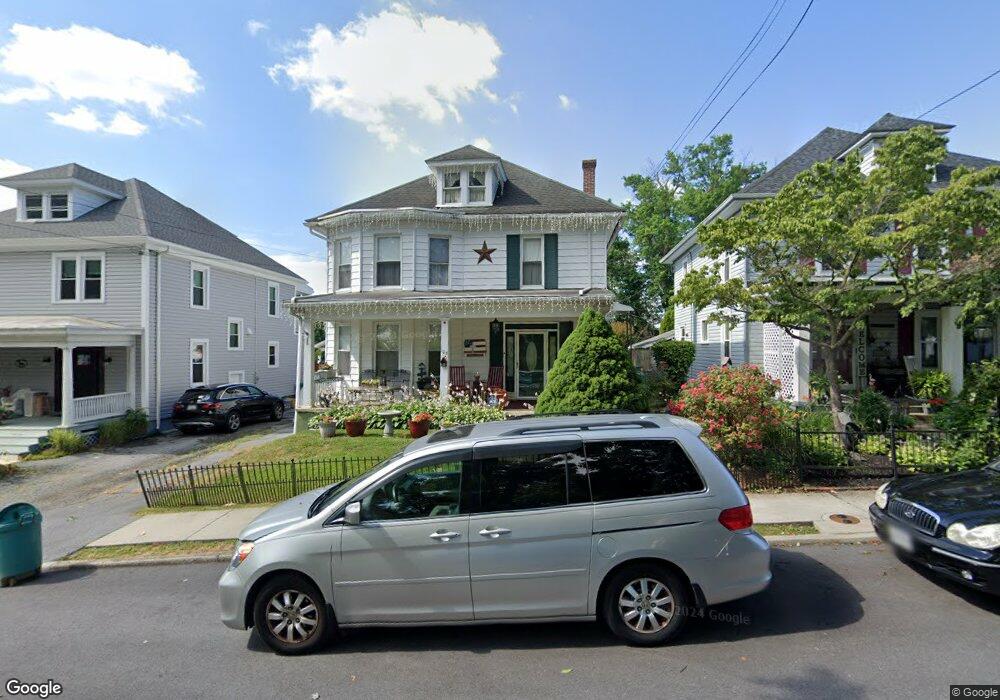
103 E Maple St Funkstown, MD 21734
Estimated Value: $260,000 - $336,000
Studio
1
Bath
2,370
Sq Ft
$126/Sq Ft
Est. Value
About This Home
This home is located at 103 E Maple St, Funkstown, MD 21734 and is currently estimated at $299,468, approximately $126 per square foot. 103 E Maple St is a home located in Washington County with nearby schools including Ruth Ann Monroe Primary School, Eastern Elementary School, and E. Russell Hicks Middle School.
Ownership History
Date
Name
Owned For
Owner Type
Purchase Details
Closed on
Mar 10, 2005
Sold by
Davis Nina Kay
Bought by
Kay Rice Scott A and Kay Nina
Current Estimated Value
Purchase Details
Closed on
Aug 30, 1996
Sold by
Davis Nina Kay
Bought by
Davis Nina Kay
Purchase Details
Closed on
Jul 12, 1994
Sold by
Gladhill M G
Bought by
Davis Nina K
Home Financials for this Owner
Home Financials are based on the most recent Mortgage that was taken out on this home.
Original Mortgage
$85,838
Interest Rate
8.51%
Mortgage Type
Commercial
Create a Home Valuation Report for This Property
The Home Valuation Report is an in-depth analysis detailing your home's value as well as a comparison with similar homes in the area
Home Values in the Area
Average Home Value in this Area
Purchase History
| Date | Buyer | Sale Price | Title Company |
|---|---|---|---|
| Kay Rice Scott A | -- | -- | |
| Davis Nina Kay | -- | -- | |
| Davis Nina K | $85,000 | -- |
Source: Public Records
Mortgage History
| Date | Status | Borrower | Loan Amount |
|---|---|---|---|
| Previous Owner | Davis Nina K | $85,838 |
Source: Public Records
Tax History
| Year | Tax Paid | Tax Assessment Tax Assessment Total Assessment is a certain percentage of the fair market value that is determined by local assessors to be the total taxable value of land and additions on the property. | Land | Improvement |
|---|---|---|---|---|
| 2025 | $1,188 | $164,800 | $0 | $0 |
| 2024 | $1,188 | $130,400 | $47,300 | $83,100 |
| 2023 | $1,179 | $129,433 | $0 | $0 |
| 2022 | $1,170 | $128,467 | $0 | $0 |
| 2021 | $1,138 | $127,500 | $47,300 | $80,200 |
| 2020 | $1,138 | $126,633 | $0 | $0 |
| 2019 | $1,115 | $125,767 | $0 | $0 |
| 2018 | $1,084 | $124,900 | $54,400 | $70,500 |
| 2017 | $1,117 | $124,067 | $0 | $0 |
| 2016 | -- | $123,233 | $0 | $0 |
| 2015 | $1,396 | $122,400 | $0 | $0 |
| 2014 | $1,396 | $122,400 | $0 | $0 |
Source: Public Records
Map
Nearby Homes
- 414 Beaver Creek Rd
- 11 Funkstown Rd
- 2 Charlotte St
- 12.3 AC Southern Blvd
- 90 Charlotte St
- 103 Charlotte St
- 104 Charlotte St
- 329 Emmert Rd
- 104 S Edgewood Dr Unit 104
- 1619 Dual Hwy
- 1747 Edgewood Hill Cir Unit 201
- 628 Knightsbridge Dr
- 605 Knightsbridge Dr
- 202 S Fork Dr
- 10229 Mar Rock Dr
- 10378 Lantern Ln
- 0 Kenly Ave
- 920 Frederick St
- 925 Frederick St
- 10215 Mar Rock Dr
Your Personal Tour Guide
Ask me questions while you tour the home.